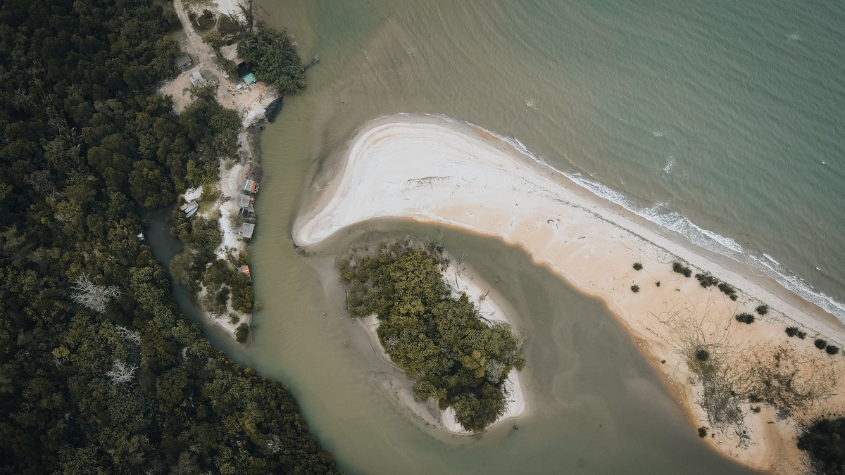
A maritime forest is a coastal woodland adapted to salt spray, strong wind, sandy soil and occasional flooding. In the eastern United States, many grow behind dunes on barrier islands or along sheltered estuary shores. Their dense edges protect taller interior trees, while roots hold soil and vegetation stores water and nutrients.
NOAA’s maritime forest overview highlights Currituck Banks on North Carolina’s Outer Banks. There, beach grasses and dunes give way to wax myrtle, holly and stunted oaks, followed by a more sheltered interior forest. The sequence reflects small but powerful gradients in wind, salt, elevation and freshwater.
“Maritime” refers to the forest’s exposure to the sea, not to trees growing in seawater. Most roots depend on fresh groundwater and unsalted rain. Salt arrives mainly as spray or during occasional flooding, while dunes and outer shrubs reduce exposure inland. Similar-looking coastal woods can differ in species because climate, storm history, fire and the age of the land surface vary from one coast to another.
Life behind the dunes
The ocean-facing edge receives salt carried in spray. Salt damages buds and leaves and steady wind increases water loss. Exposed branches on the seaward side may die while protected growth continues inland, producing low, wind-pruned forms. Thick or waxy leaves help some plants limit water loss and tolerate salt.
A tightly woven shrub canopy acts as a windscreen. Wind speed and salt deposition decline behind it, allowing less tolerant species to grow taller. NOAA’s Currituck example includes American holly, ironwood, loblolly pine, red maple and live oak in the interior. Species composition varies with latitude, soil, fire history and storm exposure.
Sandy ground drains quickly, yet the freshwater table beneath a barrier island can lie close to the surface. Rain supplies a lens of fresh groundwater above denser saltwater. Low swales may flood seasonally, while ridges remain comparatively dry. A few centimeters of elevation can select a different plant community.
The forest edge often shows salt pruning. Buds facing the ocean receive the greatest spray and die back, while branches on the sheltered side keep growing. The resulting crowns lean inland without being bent in one sudden event. Leaves with thick surfaces, compact growth and protected buds can reduce damage, but salt tolerance has limits when storms carry seawater into the root zone.
A refuge for coastal wildlife
Layered vegetation offers food and cover. Insects use leaves and dead wood; reptiles shelter in warm openings; mammals move through thickets. Migratory birds stop to rest and feed along coastlines where developed land may provide little comparable habitat. Interior trees also support nesting species that avoid open beach and marsh.
Fallen leaves decompose and recycle nutrients in soil that begins with nutrient-poor sand. Roots and fungi help plants capture scarce resources. Fallen trunks create cavities, while the forest edge produces berries and dense shelter. Each structural layer expands the range of niches within a relatively narrow island.
Connections with neighboring habitats strengthen the forest’s value. Animals move among beach, dune, woodland, marsh and sound. Groundwater flows beneath them, carrying nutrients toward the estuary. Protecting only a patch of trees while severing these connections can leave the forest biologically and hydrologically isolated.
The Currituck Banks Reserve preserves a long cross-section from ocean beach through maritime forest to Currituck Sound. Such reserves support monitoring and provide reference sites for comparing developed and less disturbed barrier islands.
Gulf Coast examples share the same dependence on elevation and freshwater. The National Park Service maritime forest account describes salt-resistant vegetation on higher ground within Gulf Islands National Seashore. Comparing Atlantic and Gulf sites helps scientists distinguish broad coastal adaptations from local responses to hurricanes, winter cold, or fire there.
How the forest protects the coast
Roots stabilize surface sediment and the canopy slows wind near the ground. Vegetation intercepts rainfall and can reduce erosion during ordinary weather. Forest soils store nutrients and freshwater. During storms, trunks and undergrowth create friction that reduces some wind and water energy after waves cross the dune.
Protection has limits. A major surge can flood the forest with saltwater and topple trees; it may also cut a new inlet. The oceanfront beach may migrate through an established stand. NOAA notes old tree stumps along the Currituck shoreline where the center of the island once lay. Barrier island migration can place yesterday’s forest in today’s surf.
Natural disturbance creates openings where young plants establish. Repeated intense flooding, chronic saltwater intrusion, or shoreline hardening may exceed the forest’s ability to recover. Development removes canopy and compacts soil. Wells can alter the freshwater lens, while roads interrupt drainage and wildlife movement.
Storm protection depends on width, density, topography and the event itself. Leaves and branches create drag on wind, while trunks and undergrowth slow shallow moving water. A forest cannot stop deep storm surge and trees may become debris when uprooted. Its most dependable everyday services include stabilizing soil, intercepting rainfall, storing nutrients and buffering the sheltered interior from routine salt spray.
Dunes and forest exchange sediment over time. Wind carries sand into the woodland edge, where stems trap it and some plants tolerate partial burial. Erosion can later expose roots or move the ocean beach into old forest, leaving stumps in the surf. This shoreline rollover means the same patch of ground may pass from dune to forest and eventually back to intertidal habitat.
Conserving a forest that moves
Conservation begins with protecting enough space for the woodland and its shifting edges. Wide buffers preserve the windscreen and allow plants to move inland as shorelines change. Narrow fragments receive more salt and wind from newly exposed sides. A small clearing can influence vegetation beyond its footprint.
Managers monitor groundwater, salinity, tree recruitment, invasive species and canopy condition. After storms, surveys distinguish temporary leaf damage from lasting hydrologic change. Historical photographs and elevation data show whether the shoreline is approaching. Fire management may also be needed where local communities evolved with periodic burning.
Visitors can reduce damage by remaining on designated paths and keeping vehicles out of dunes; they should also avoid spreading invasive seeds. Local planning can cluster construction away from intact forest and maintain natural drainage. Conservation retains the ecological processes that let a coastal woodland reorganize as individual trees and shorelines move over time in response to coastal change.
Maritime forests occupy a demanding boundary between land and sea. Their low outer canopy and taller interior make environmental stress visible in the shape of the vegetation. Where enough freshwater, sediment and room remain, the forest moderates exposure while supporting wildlife that depends on an increasingly scarce coastal habitat.
Restoration begins with the physical setting. Planting interior tree species on an exposed dune edge is unlikely to succeed before hardy grasses and shrubs establish shelter. Native plants should match elevation, soil moisture and salt exposure. Managers may control invasive vines or shrubs that smother regeneration, then track survival through several seasons rather than judging the planting immediately. Long-term records connect canopy change with water and weather. Shallow wells measure the freshwater lens while salinity sensors record storm intrusion; fixed plots follow seedlings and adult trees. Aerial imagery shows fragmentation, but field surveys determine whether a thin canopy reflects salt damage, fire, insects, or normal disturbance. Maintaining that ecological monitoring helps managers act on a mechanism instead of on appearance alone. Repeated measurements also show whether young trees are replacing losses.
Related reading: ocean-floor topography and the difference between an ocean and a sea.