Scientists thickened Arctic sea ice with pumped seawater and it stayed brighter as it melted
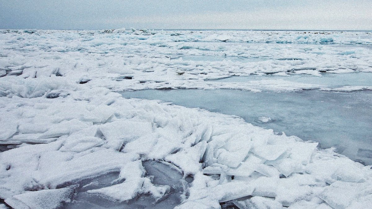
A study in Earth’s Future found that pumping seawater onto Arctic sea ice during winter made test areas in Cambridge Bay, Nunavut, up to 32 centimeters thicker by mid-May. The flooded ice also stayed brighter during the melt season, a key sign that it reflected more sunlight while melting more slowly. The work offers the…