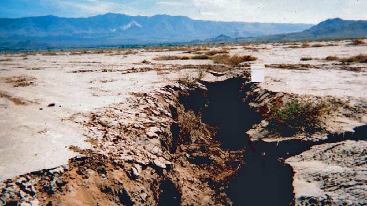
Land subsidence is the gradual or sudden sinking of the ground surface. It occurs when material beneath the surface collapses or undergoes compaction. Other underground movement can produce the same result. The change may affect a small sinkhole or extend across an entire basin, where a few inches of lowering can damage infrastructure and increase flood risk.
Human activity causes many documented cases, especially where groundwater, oil, gas or minerals are removed. Natural processes can also lower the land. NOAA’s definition of land subsidence includes sediment compaction, earthquakes, erosion and the adjustment of Earth’s crust after the loss of ancient ice.
Subsidence describes vertical movement, not its cause. Investigators must identify the responsible process before they can predict whether the ground will stabilize or continue sinking. Measurements of elevation are interpreted alongside water levels, geology and the timing of human activity.
Groundwater pumping can compact an aquifer
An aquifer contains water within pores and fractures. Water pressure helps support some of the load carried by the sediment framework. When pumping lowers that pressure, stress on the grains increases.
Coarse sand and gravel often rebound substantially if water levels recover. Fine-grained clay or silt layers can compress slowly as water drains from their tiny pores. Some of that compaction is permanent. It lowers the land while reducing the aquifer system’s storage capacity.
The U.S. Geological Survey reports that groundwater use accounts for more than 80 percent of known subsidence in the United States. The agency has documented effects across thousands of square miles.
Pumping rate alone does not determine subsidence. Sediment depth and thickness are important, together with compressibility. The history of water levels also counts, as does the amount of time pressure remains low.
Extraction is not the only human cause
Oil and gas production can reduce pressure in a reservoir, allowing surrounding rock to compact. Underground mining may leave voids that collapse. Draining peat soils exposes organic material to air, where decomposition reduces soil volume.
Construction can load soft ground and speed consolidation. The effect is particularly important on deltas and reclaimed coastlines built from young, water-rich sediment. Engineers may preload a site or install foundations that transfer weight to deeper material.
Different mechanisms can operate together. A coastal city may experience aquifer compaction alongside natural tectonic movement. Sediment loading can add another component. Separating those contributions requires records that extend beyond a single survey.
Natural processes also lower the surface
Soluble limestone can dissolve as groundwater moves through cracks, creating underground cavities. If a cavity roof fails, a sinkhole forms. This localized collapse differs from the broad, smooth lowering commonly associated with regional groundwater withdrawal.
Loose windblown sediment called loess can collapse when wetted. Thawing permafrost may cause ice-rich ground to settle. Earthquakes can rearrange unconsolidated sediment and produce abrupt elevation changes.
Some coasts are still responding to the disappearance of ice sheets after the last glacial period. Land formerly beneath the ice rises. Regions around it may sink as Earth’s crust responds to slow movement in the mantle. This glacial isostatic adjustment continues over thousands of years.
River deltas compact naturally as new sediment accumulates. Dams can reduce the fresh sediment that once rebuilt the surface. Groundwater extraction may then add a faster human-driven component to the natural background rate.
The NASA-ISRO Synthetic Aperture Radar mission is designed to observe changes in Earth’s surface, including deformation related to groundwater use and natural hazards. Repeated radar measurements can distinguish where motion is concentrated.
Sinking land raises relative sea level
A tide gauge records the height of water relative to the land supporting the instrument. If the ocean rises while the ground sinks, both movements increase the local change. Coastal residents experience the combined value as relative sea-level rise.
Subsidence can make high tides and storm surges reach farther inland even if the global ocean trend is unchanged. Drainage systems lose slope. Levees and seawalls also become lower relative to water. Wetlands may struggle to build soil quickly enough to maintain elevation.
NOAA’s Sea Level Trends combine long tide-gauge records with information about vertical land motion. Local rates vary because ocean change and ground movement vary geographically.
Scientists measure movement from the ground and space
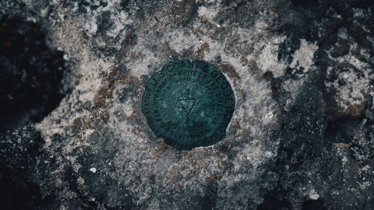
Surveyors have long compared benchmark elevations through precise leveling. Modern Global Navigation Satellite System stations measure position continuously. NOAA’s Continuously Operating Reference Stations provide a national framework that supports estimates of vertical land movement.
Interferometric synthetic aperture radar, or InSAR, compares the phase of radar signals collected on repeated satellite passes. Under suitable conditions, it maps small changes across broad areas. The USGS explains how InSAR measures human-induced subsidence and links deformation patterns to pumping or resource extraction.
Extensometers measure compaction between the surface and a stable depth. Wells track groundwater levels. When these records change together, researchers can test whether declining pressure corresponds with sinking ground.
Each technique has limits. Radar coherence can be poor where vegetation or surface conditions change. Vertical GPS trends require time, while leveling is labor intensive. Agreement among independent methods strengthens the diagnosis.
Subsidence can often be slowed but not fully reversed
Reducing groundwater withdrawals can stabilize water levels and slow compaction. Managed aquifer recharge stores water during wet periods where geology permits. Switching pumping locations may reduce stress on the most compressible parts of a basin.
Recovery depends on whether deformation is elastic. Pressure may rebound after pumping stops, but compacted clay layers do not necessarily regain their original thickness. Lost aquifer storage can therefore remain a long-term cost.
Monitoring provides an early warning before damage becomes obvious. California combines satellite maps and ground observations in its subsidence monitoring program, helping water managers identify areas of continuing movement.
Planning must use local rates and causes. Raising a road addresses immediate flooding but not aquifer compaction. Sustainable pumping addresses the cause, while drainage design reduces exposure. Updated elevation data keeps both measures aligned with current conditions.
Damage can appear far from the pumping well
Regional aquifer systems connect layers across broad areas. A concentration of pumping may lower pressure beyond the immediate well field and fine-grained layers can continue compacting after the fastest decline has passed. The location of maximum subsidence may therefore differ from the point of greatest water withdrawal.
Uneven sinking is often more damaging than uniform lowering. Differential movement can bend canals and change the grade of roads. It may crack pipelines or reduce freeboard on flood-control structures. Infrastructure responds to gradients as well as total displacement.
In California’s San Joaquin Valley, subsidence has reduced the carrying capacity of sections of major canals. The Bureau of Reclamation monitors deformation because water-delivery infrastructure depends on precise elevations. Repairs can restore a structure, but they do not replace aquifer storage lost through permanent compaction.
Hazard maps must be updated as conditions change
A historical subsidence map identifies vulnerable geology, yet current movement depends on present water use and climate. Drought can increase reliance on groundwater. Wet years may allow recharge, though recovery varies between aquifers. Continued measurement separates a temporary seasonal rebound from a durable change in the long-term trend.
Satellite surveys make repeated regional mapping more practical, but interpretation still needs local data. Construction can move the surface and landslides produce a different pattern. Seasonal soil moisture introduces another signal. Analysts compare patterns with wells and geologic units before assigning a cause. Long records help separate persistent lowering from reversible annual movement.
Subsidence management is an ongoing, long-term measurement problem. Elevations used for drainage or flood models become outdated as land moves. Regular monitoring keeps engineering assumptions current and shows whether pumping limits or recharge projects are reducing the rate. Public maps can also guide inspections toward canals or flood structures exposed to the steepest differential movement.
Related reading: how vertical land motion affects sea level and how land rises after glaciers retreat.