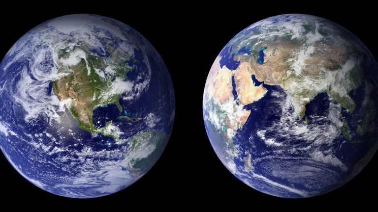
Longitude describes a place’s angular position east or west of a chosen reference meridian. Its lines run from pole to pole, forming half-circles that meet at both ends. Combined with latitude, longitude identifies a horizontal position on Earth.
NOAA’s guide to longitude and meridians explains why the zero line passes through Greenwich, England. Unlike the equator, a prime meridian has no unique natural location. Nations had to agree which one would serve as the common origin.
Accurate longitude once presented one of navigation’s hardest problems. It depends on comparing local position with a reference, which is closely connected to time. Atomic clocks and satellite systems now make the answer routine, but the geometry remains the same. The apparent precision of a modern display can hide its assumptions. Coordinate format and datum still determine what the digits mean.
Meridians measure east-west position
A meridian joins the geographic poles. Every place along one meridian has the same longitude, though their latitudes differ. The coordinate measures the angle between that meridian and the prime meridian.
Values extend from zero to 180 degrees east or west. Signed decimal coordinates commonly make east positive and west negative. A direction letter or sign convention is essential because identical numbers can refer to opposite sides of the prime meridian.
All meridians have equal length from pole to pole. Their spacing across the surface is greatest at the equator and shrinks with latitude. At either geographic pole, convergence makes east-west position singular.
A point needs both longitude and latitude. Saying 75 degrees west identifies a line that crosses many countries and ocean regions. Adding a latitude selects a location along it, while height can complete a three-dimensional coordinate. Software may request the pair in longitude-latitude order even though everyday speech often says latitude first. Checking the field labels prevents an easy but consequential swap.
Greenwich became the international reference in 1884
Historically, countries used different national meridians when publishing maps or navigation tables. The variety made international exchange cumbersome. Delegates at the International Meridian Conference in Washington selected the Greenwich meridian as the common zero in 1884.
The decision standardized a reference rather than discovering one. Greenwich already had strong practical support because many nautical charts used observations from the Royal Observatory. Political and commercial adoption helped the convention spread. Other national origins remained visible in older maps. Historical coordinates may therefore need conversion before they can be compared with modern data.
Modern geodesy uses the International Reference Meridian, defined by a global reference frame rather than a physical line inside an observatory. NOAA notes that it lies roughly 102 meters east of the historic Greenwich line at that latitude. Both can be called the prime meridian in different contexts, so precision work states the reference system.
Longitude is tied to Earth’s rotation and time
Earth rotates through about 360 degrees in 24 hours, which corresponds to roughly 15 degrees per hour. When the Sun reaches its highest point at one location, another meridian has a different local solar time. The time difference reveals angular separation.
A navigator who knew the time at a reference meridian could compare it with local noon. A four-hour difference suggested about 60 degrees of longitude. The concept was clear long before instruments could preserve reference time accurately on a pitching ship.
Early pendulum clocks performed poorly at sea because motion and changing conditions affected them. The practical breakthrough was a sufficiently stable marine chronometer. The Smithsonian’s chronometer history describes the effort to carry dependable time through long voyages.
Celestial methods offered another route by comparing observed astronomical events with predicted reference times. Both approaches required careful observation and tables. Errors in time translated directly into errors in longitude. A clock error of four minutes corresponds to roughly one degree because Earth rotates about one degree in four minutes. At the equator, that is a large positional error.
Mean solar time and modern civil time are not identical in every detail. Time zones simplify daily life by assigning broad regions a standard clock. A zone boundary is an administrative choice, not a longitude measurement.
The 180-degree meridian has a special calendar role
The meridian opposite Greenwich is the antimeridian. It lies at 180 degrees east and 180 degrees west, which describe the same geometric line. The International Date Line follows this region but bends around political boundaries and island groups.
Crossing the date line changes the calendar date so worldwide timekeeping remains consistent. The line is not established by one universal treaty as a perfectly straight boundary. Countries choose the civil time observed in their territories. Travelers crossing westward add a day, while an eastward crossing subtracts one. The adjustment belongs to the calendar rather than to the geometric definition of longitude.
Distances between longitude lines change with latitude
At the equator, one degree of longitude spans roughly 111 kilometers. Farther north or south, the distance decreases in proportion to the east-west circumference of the parallel. Near the poles, many degrees cover only a short ground distance.
This convergence affects maps and navigation calculations. A rectangular grid of degrees does not correspond to equal-sized ground cells. The U.S. Geological Survey explanation of map projections shows why flat maps must alter distance or area somewhere.
A minute of longitude is therefore not consistently one nautical mile. That useful approximation applies to a minute of latitude, subject to small geodetic variation. East-west distance requires the latitude and an appropriate Earth model.
At high latitudes, an apparently large change in longitude may represent modest travel. Route calculations avoid confusion by using spherical or ellipsoidal geometry rather than treating degrees as a uniform Cartesian grid.
Satellites now determine longitude through a reference frame
A satellite navigation receiver estimates its position by measuring signals from several satellites whose orbits and clock behavior are known. It solves for three-dimensional coordinates plus receiver clock offset. Software then expresses the result through latitude and longitude at a defined height and datum. The receiver is not measuring longitude directly. It first finds a position in a reference frame and converts that position into familiar angular coordinates.
Accurate time remains central. GPS satellites carry atomic clocks, while control stations monitor the system. The U.S. government’s GPS accuracy guidance explains that actual results depend on satellite geometry and signal conditions.
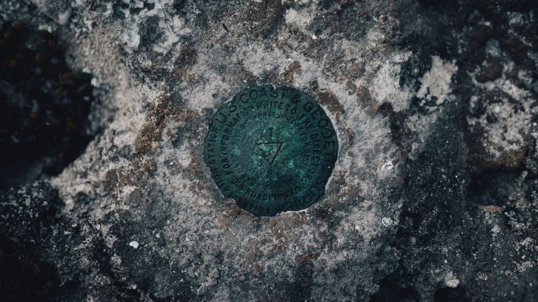
Survey-grade positioning uses longer observations or corrections from known stations. NOAA’s CORS network guidance describes reference stations that support three-dimensional positioning. Those stations connect measurements to the national spatial reference system.
Longitude precision should always be interpreted with its datum and uncertainty. Many decimal places do not guarantee that a device located the point to the implied distance. Signal obstruction or multipath can move the estimate even when the display looks exact. Because meridians converge, the ground distance implied by a final decimal digit also changes with latitude.
A longitude is incomplete without its reference
General maps usually need only a reference to position east or west of Greenwich. Technical data need more. The coordinate format must be clear and users should know whether the value is east-positive or accompanied by a direction letter.
The datum determines how the angular value is attached to Earth. Coordinates copied between systems without transformation can shift a mapped feature. This issue becomes visible when older surveys are combined with modern satellite observations. A complete technical record names the coordinate reference system and keeps enough original precision for the intended use.
Longitude began as a difficult comparison between local astronomy and distant time. Today it is embedded in phones and ships, along with mapping databases. Its apparent simplicity rests on an agreed origin and precise clocks within a continuously maintained model of Earth’s geometry.
Related reading: the coordinates of Point Nemo and how the Gulf Stream was first mapped.