
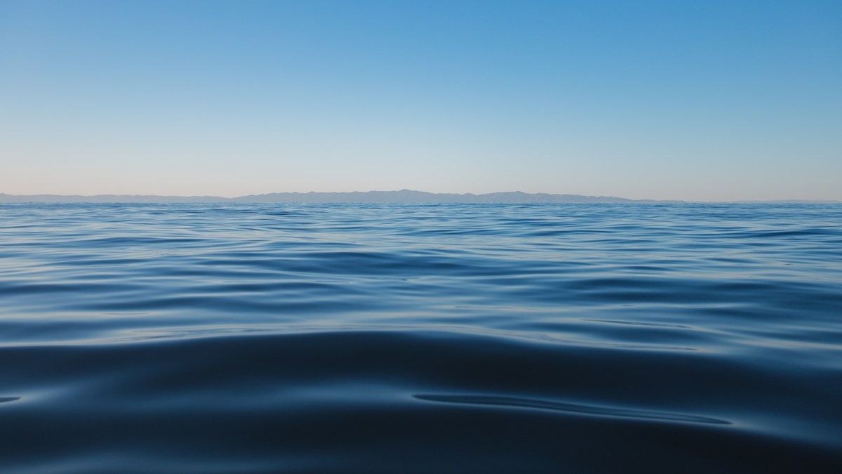
Point Nemo lies in the South Pacific at roughly 48°52.6′ south and 123°23.6′ west. Every direction leads across about 1,670 miles of open water before reaching land. Its three nearest points are Ducie Island to the north, Motu Nui near Easter Island to the northeast and Maher Island off Antarctica to the south.
The name describes the oceanic pole of inaccessibility, the location in the ocean farthest from any coastline. NOAA’s Point Nemo overview gives a distance of about 2,688 kilometers to each nearest land point. The position is a mathematical solution, not an island, buoy or permanent station.
Point Nemo is a calculated location
Finding the remotest ocean point requires more than looking for the center of a blue patch on a map. Coastlines are irregular and small islands can move the answer. A computer searches for the point whose distance to its nearest land is as large as possible. At the solution, three coast points constrain the center of an enormous empty circle.
Croatian-Canadian survey engineer Hrvoje Lukatela calculated the modern location in 1992 using geospatial software. “Nemo” means “no one” in Latin and also recalls Captain Nemo from Jules Verne’s Twenty Thousand Leagues Under the Sea. The name fits both the mathematics and the site’s cultural image.
The nearest lands are themselves remote and mostly uninhabited. Ducie is a small atoll in the Pitcairn group. Motu Nui is a rocky islet southwest of Rapa Nui, while Maher Island lies near Antarctica. A person at Point Nemo may sometimes be closer to astronauts passing overhead aboard the International Space Station than to people on land, though the station is nearby only briefly during a suitable orbit.
The South Pacific Gyre keeps the region sparse
Remoteness above water is only part of Point Nemo’s character. It sits within the South Pacific Gyre, a broad rotating circulation bounded by major currents. Surface water tends to converge toward the gyre’s interior. The central region receives little nutrient-rich water from continents and relatively weak replenishment from deeper layers.
Phytoplankton need light and dissolved nutrients. Sunlight is abundant at the surface, yet nitrogen and other nutrients can be scarce. Satellite maps commonly show low chlorophyll across the gyre, indicating low plant-like plankton biomass compared with productive coasts and upwelling zones. The NASA Earth Observatory describes subtropical gyres as ocean deserts because of this limited productivity.
Low productivity does not mean lifeless water. Microbes adapted to scarce resources inhabit the region and drifting organisms cross it. The Max Planck Institute-led transect study found distinct microbial communities across the South Pacific Gyre. Sparse food and immense distances make the ecosystem difficult to sample, leaving fewer observations than scientists have for many coastal seas.
Atmospheric dust, sinking particles and occasional mixing still deliver material. The water column also contains human-made pollutants transported by currents. Point Nemo is best understood as an extremely isolated part of a connected ocean, rather than a sealed biological void.
Why spacecraft are directed toward this ocean
The remote South Pacific includes an area commonly called the spacecraft cemetery. Space agencies can guide some large satellites and cargo vehicles toward controlled reentry above this broad region, reducing the chance that surviving fragments reach populated land. The target zone is not a single heap sitting at Point Nemo.
Most spacecraft burn up as they encounter the atmosphere at orbital speed. Heat and mechanical forces break structures apart, while denser components may survive farther. Operators plan a reentry corridor based on the vehicle and orbit. The European Space Agency’s debris program explains the wider challenge posed by objects in orbit and the need for controlled disposal.
Russia’s Mir space station was deliberately deorbited over the South Pacific in 2001. Cargo vehicles serving space stations have also been steered toward uninhabited ocean areas after completing their missions. The International Space Station has its own planned end-of-life disposal strategy, with agencies choosing a remote ocean corridor to limit risk.
The phrase “cemetery” can suggest intact craft lying together, which overstates what happens. Reentry scatters surviving fragments across long footprints and precise seabed locations are generally uncertain. Water depth around the region reaches several kilometers, making recovery impractical.
International rules still require operators to manage hazards. The United Nations Office for Outer Space Affairs summarizes international work on space debris mitigation. Choosing a remote corridor reduces the immediate danger to people, while responsible spacecraft design seeks to limit debris in orbit and casualties during reentry.
Point Nemo is remote but scientifically connected
Oceanographers cannot visit the point casually. Research ships need days of sailing and weather can interrupt tightly planned sampling. Satellites provide repeated measurements of temperature, sea-surface height and ocean color, but many biological and chemical questions require bottles, instruments and direct samples.
Floating instruments help close some gaps. The international Argo program maintains autonomous profiling floats across the world ocean. They descend, drift and return to the surface to transmit measurements such as temperature and salinity. Coverage varies, yet the network can observe remote water without keeping a ship on station.
Point Nemo also provides a memorable lesson in geography. The nearest land need not be the nearest inhabited settlement and map projections can distort distance. Its defining circle crosses a region whose apparent emptiness reflects both physical isolation and the limits of human observation.
No marker announces arrival at Point Nemo. A vessel would see waves and sky much like elsewhere in the South Pacific. Coordinates, distance calculations and measurements reveal why the location is exceptional: it is the one place where the planet’s connected ocean creates the greatest possible separation from land.
Its exact remoteness depends on accurate coastlines
The distance calculation treats land boundaries as geometric data. Better shoreline maps can refine a result, particularly when the nearest points are tiny islands or ice-covered coasts. A change of a few kilometers in a mapped shoreline would slightly move the center, while leaving the South Pacific location and its extraordinary isolation intact.
Distance on a globe follows a great-circle path rather than a straight line drawn on a flat map. Common projections stretch the far south and can make one candidate point appear more central than another. Geospatial software evaluates distances on an Earth model, giving the 2,688-kilometer radius physical meaning.
Point Nemo is one member of a wider family of poles of inaccessibility. Continents have land-based equivalents farthest from a coast and polar regions can be defined using different criteria. Each point depends on an explicit mathematical definition. For the oceanic pole, the defining question concerns distance to land, not distance to a port or inhabited place.
Its nearest inhabited communities are much farther away than the three pieces of land that define the circle. That difference explains why popular accounts sometimes quote varying remoteness figures. One figure measures the nearest coast, another may refer to people and a third could describe distance from a shipping route.
Scientific value comes partly from the absence of nearby land. Continental runoff has little direct influence, offering researchers a chance to examine extremely nutrient-poor open-ocean conditions. At the same time, sparse sampling makes baselines harder to establish. Remote ocean observations from ships, satellites and floats must be combined carefully to describe a place no nation routinely occupies. A measurement made at the coordinate represents one moment in moving water, so repeated regional sampling is more informative than treating the point as a sealed destination. Currents continuously carry water through the calculated location.
Related reading: ocean-floor topography and the difference between an ocean and a sea.





