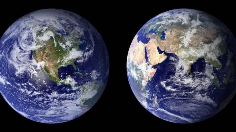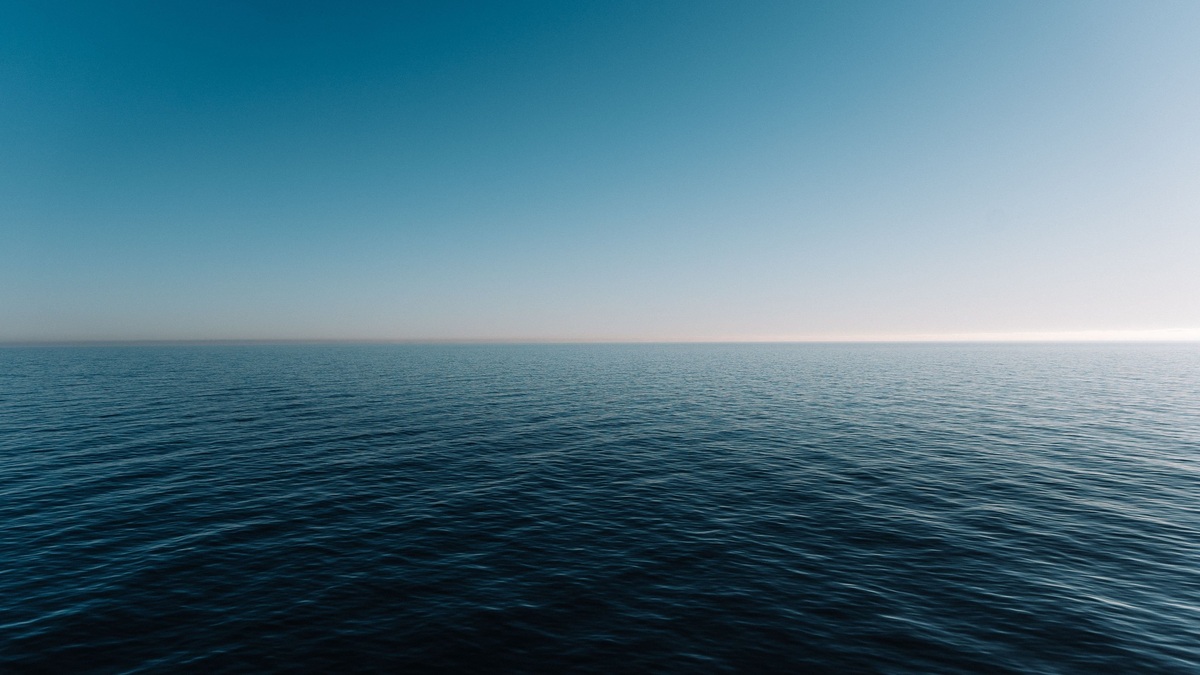
Two broad belts near 30 degrees north and south are famous for clear skies, dry air and winds that may weaken without warning. Sailors called them the horse latitudes. Meteorologists recognize them as the subtropical high-pressure zones where air descending from the tropics spreads in opposite directions.
NOAA places the regions at about 30 degrees in each hemisphere and notes that surface winds diverge there. Its horse latitudes overview also recounts the grim maritime legend behind the name, though the precise origin of the phrase remains uncertain.
These belts explain far more than calm days at sea. They help generate trade winds and midlatitude westerlies, suppress clouds over large ocean areas and contribute to the dry climates found near many of the world’s deserts.
Descending air creates high pressure
Strong solar heating makes air rise near the equator. High in the troposphere, some of that air travels poleward. It cools along the way and eventually descends in the subtropics, completing the downward branch of the Hadley circulation.
Descending air is compressed by increasing atmospheric pressure. Compression warms it, lowering its relative humidity even when the amount of water vapor changes little. Cloud droplets evaporate more readily, so large areas beneath subtropical highs often have clear skies and limited rain.
The pressure pattern is broad and mobile. Weather systems can interrupt it and the calmest area changes with the season. Still, the average circulation leaves a recognizable high-pressure belt around both hemispheres. The UK Met Office describes these subtropical highs as part of the three-cell model of atmospheric circulation.
Winds split toward the equator and poles
Air reaching the surface cannot accumulate indefinitely. Some flows equatorward and becomes the trade winds. Some moves toward higher latitudes and joins the prevailing westerlies. Earth’s rotation curves both branches through the Coriolis effect.
In the Northern Hemisphere, equatorward flow bends toward the west, producing northeasterly trades. In the Southern Hemisphere, it bends in the opposite direction and produces southeasterly trades. Poleward flow curves eastward in both hemispheres, which helps explain why many midlatitude weather systems generally travel from west to east.
NOAA’s surface currents lesson traces the connection between atmospheric circulation and winds over the sea. Those winds transfer energy to surface water and help drive major ocean currents, so the horse latitudes influence both air and ocean circulation.
The boundary is never a perfectly calm ring. Local sea breezes, storms and pressure differences create wind on any given day. “Horse latitudes” describes a long-term climatic region where weak winds and high pressure occur more often than in neighboring belts.
Why many deserts sit nearby
Persistent sinking motion makes it difficult for deep clouds to grow. Several great deserts occupy subtropical latitudes, including the Sahara and Arabian deserts in the Northern Hemisphere and parts of Australia in the Southern Hemisphere. Geography then modifies the broad atmospheric tendency.
Cold ocean currents strengthen dryness along some western continental coasts. Cool water chills the lowest layer of air and can create fog, yet it also limits the vigorous upward motion needed for heavy rain. Mountains can deepen aridity by blocking moist air from reaching inland regions.
Subtropical dry zones do not lie at exactly 30 degrees everywhere. The NASA Earth Observatory notes that desert conditions also reflect land use and climate variability. Global circulation supplies the large-scale setting, while oceans, terrain and human activity influence the outcome on the ground.
The maritime name has an uncertain history
Traditional accounts describe sailing ships stalled in calm weather while carrying horses across the Atlantic. With freshwater running low, crews supposedly threw animals overboard. NOAA presents this as a legend rather than a documented origin story, an important distinction when repeating the familiar explanation.
Other proposed origins connect the phrase with maritime work or older nautical expressions. Historical evidence has not settled the question. The name nevertheless captured a real navigational problem: a vessel under sail could lose days or weeks when a subtropical high blocked the wind.
Subtropical highs steer weather
High-pressure centers over the oceans shift and strengthen through the year. Named systems such as the Bermuda-Azores High and North Pacific High can guide storms around their edges. Their position affects rainfall, heat and the routes taken by tropical cyclones.
The National Hurricane Center maintains tropical cyclone climatology that reflects these seasonal steering patterns. A strong ridge can favor a westward track across the tropics, while a weakness in the ridge can allow a storm to curve poleward. Each storm still responds to the full surrounding wind field.
Scientists are examining how the subtropical dry zones may change as the planet warms. Observations have suggested shifts in parts of the tropical circulation, but trends differ by region and season. Measuring a gradual movement is difficult because the belts wobble naturally from year to year.
The horse latitudes link familiar features of Earth’s climate: tropical rain, desert belts, trade winds and westerly storms. Their quiet reputation comes from sinking air and weak average pressure gradients, yet their reach extends across weather systems and ocean basins.
Ocean highs have recognizable names
Subtropical pressure belts break into semi-permanent centers over individual oceans. The Azores High, also called the Bermuda High when its western side dominates, occupies much of the North Atlantic. The North Pacific High plays a comparable role over the Pacific.
These systems expand, contract and wander. In summer, a strong Atlantic ridge can carry hot, humid air toward the eastern United States. Its circulation also supports the easterly flow that carries Saharan dust across the tropical Atlantic and steers many tropical disturbances westward.
Marine ecosystems respond to the winds around the highs. Along certain continental coasts, equatorward winds move surface water offshore through Ekman transport. Colder water then rises from depth, bringing nutrients that support productive fisheries. A change in the high can alter the timing or strength of that upwelling.
Forecast maps show pressure at sea level as curved isobars. Widely spaced isobars near the center indicate a weak pressure gradient and often lighter wind. Tighter spacing around the margins signals stronger flow, demonstrating why calm conditions occupy only part of a subtropical high.
Climate averages smooth away this daily motion. The horse latitudes are best understood as zones where descending air and high pressure occur frequently, not permanent strips of stillness. Their changing centers connect tropical trade winds with storms farther poleward.
Forecasts track the ridge every day
Meteorologists locate subtropical highs by analyzing pressure at the surface and the height of pressure surfaces aloft. A ridge extending from a high can suppress afternoon storms over a wide area, while a weakness may allow a front or tropical cyclone to move poleward.
Satellite observations reveal the broad fields of cloud and water vapor around the ridge. Radiosondes measure the subtropical inversion, a stable layer created as sinking air warms above the marine boundary layer. This inversion often caps low clouds over eastern ocean basins.
Forecast models predict how the centers will move as midlatitude weather systems pass. The result guides marine forecasts, wildfire planning and heat outlooks. Although the historical phrase suggests timeless calm, operational weather offices treat the subtropical high as a dynamic system that can change within days.
Seasonal forecasts also examine sea-surface temperatures and soil moisture around the pressure belts. A persistent blocking ridge can redirect storms for weeks, contributing to drought in one region and repeated rain along its edge. Predicting these longer episodes remains more difficult than following a high several days ahead.
Related reading: the difference between wind waves and swell and how wind moves ocean water.