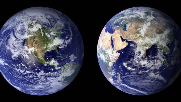
Across the tropics, dependable winds blow mainly from east to west. These are the trade winds, a pair of broad air streams that helped sailing ships cross oceans and now help regulate rainfall, ocean currents and tropical climate.
The Northern Hemisphere trades generally arrive from the northeast, while those south of the equator come from the southeast. NOAA’s trade winds overview traces their origin to subtropical high pressure, equatorial heating and Earth’s rotation.
The winds are steady on a seasonal scale, though never perfectly constant. Storms interrupt them, continents redirect them and large climate patterns can weaken or strengthen them for months. Their average flow remains one of the most recognizable features of Earth’s atmosphere.
How global heating starts the circulation
Sunlight heats equatorial regions more strongly than the poles. Warm, moist air rises near the equator, spreads at altitude and sinks again near 30 degrees north and south. At the surface, part of the descending air returns toward the equatorial low-pressure belt.
Earth rotates beneath this moving air. The Coriolis effect bends equatorward flow toward the right in the Northern Hemisphere and toward the left in the Southern Hemisphere. Both branches therefore gain an easterly component, meaning they come from the east.
This looping motion forms the Hadley cells. The UK Met Office describes them as the tropical part of a wider circulation that transfers heat toward higher latitudes.
Where the two trades converge
Northeasterly and southeasterly trades meet near the Intertropical Convergence Zone. Surface winds often weaken within this low-pressure belt as air gathers and rises. The zone is also called the doldrums, a name inherited from sailors who could lose propulsion there.
Rising humid air cools, allowing water vapor to condense. Bands of clouds and heavy showers develop and thunderstorms can tower high into the tropical atmosphere. The convergence zone shifts north and south with the seasons rather than remaining directly over the equator.
NASA’s Earth Observatory shows the ITCZ as a visible cloud band from space. Its position influences wet and dry seasons across tropical lands and oceans.
Trade-wind strength affects how much moisture reaches the convergence zone. Local islands and mountains also lift the moving air, creating wet windward slopes and drier areas downwind.
The winds push the tropical ocean
Friction transfers momentum from the atmosphere to the sea surface. Over time, the trades help drive westward equatorial currents and pile warm surface water toward the western sides of ocean basins.
In the Pacific, this process contributes to a deep warm layer in the west and a shallower thermocline in the east. Cold, nutrient-rich water can rise more easily in the eastern equatorial Pacific. NOAA’s surface current lesson connects prevailing winds with the major patterns of ocean motion.
Upwelling supports productive marine ecosystems because it returns nutrients to sunlit surface waters. Changes in wind strength can therefore affect sea-surface temperature, fisheries and rainfall far beyond the place where the winds change.
Trade winds and El Niño
During neutral Pacific conditions, easterly trades help hold warm water in the west. El Niño often develops as the equatorial trades weaken. Warm water spreads east, the thermocline flattens and eastern Pacific upwelling becomes less effective at cooling the surface.
Atmospheric pressure and rainfall shift along with the ocean. The east-west loop linking tropical winds with rising and sinking air is called the Walker circulation. Because the ocean and atmosphere influence each other, an initial change can grow through feedback.
La Niña usually features stronger-than-average trades and cooler surface water across the central and eastern equatorial Pacific. The NOAA Climate Prediction Center monitors winds, sea temperatures and pressure to assess the evolving ENSO cycle.
Individual events differ and trade winds are only one part of the forecast. Heat stored below the surface and atmospheric disturbances from outside the equatorial Pacific can influence what happens next.
Weather, travel and a changing climate
Trade winds guide tropical weather systems generally westward. Some disturbances strengthen into tropical cyclones when ocean heat, moisture and upper-level winds support organization. NOAA satellites monitor this broad flow and the clouds traveling within it.
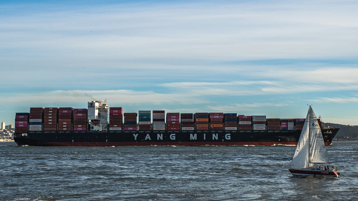
For centuries, mariners planned routes around the predictable easterlies. The name “trade” is often associated with commerce, but it also carries an older sense of a regular track or course. Sailing ships used the winds to cross the Atlantic and Pacific more efficiently.
Scientists continue to study how warming will alter the trades. Regional ocean temperature patterns, changes in the Hadley circulation and natural variability can pull the winds in different directions. Trends also depend on the period and basin being measured.
NOAA’s Atlantic Oceanographic and Meteorological Laboratory has examined how off-equatorial trade-wind changes can help build ocean heat that later contributes to El Niño. Such research shows why these seemingly familiar breezes remain central to seasonal climate prediction.
The trades connect several parts of the Earth system at once. They carry air across tropical seas, drive surface water and gather moisture into rainy convergence zones. A change in their speed can ripple through ocean temperatures and weather thousands of miles away.
Islands record changes in the flow
Ocean islands act as observation posts inside the trade-wind belts. Weather stations measure wind direction and speed, while radiosondes carried by balloons sample humidity and temperature through the atmosphere. Buoys add conditions over the surrounding sea.
Mountains make the flow visible. Moist air rises on windward slopes and often forms a deck of trade-wind clouds. Descending air above the marine layer can create a temperature inversion, placing a warm lid over cooler air and limiting how high most clouds grow.
Breaks in the inversion allow deeper clouds and heavier showers. Passing tropical waves can also disturb the trades for several days. Forecasters examine satellite loops to distinguish these short events from basin-wide changes related to ENSO.
Dust and sea salt travel within the same air stream. Saharan dust can cross the Atlantic toward the Caribbean, affecting visibility and cloud microphysics. The amount transported depends on winds near the African coast as well as conditions along the route.
Long station records reveal shifts that satellites cannot provide alone. Instrument changes and growing cities can complicate those records, so scientists compare nearby stations and independent ocean measurements before identifying a trend in tropical easterlies.
The trades influence ocean chemistry
Wind controls how quickly gases cross the sea surface. Stronger trades roughen the water and increase turbulence, which can speed exchanges of carbon dioxide and oxygen. The direction of each gas flux depends on its concentration in the air and ocean.
Wind-driven upwelling brings deeper water with distinct chemistry toward the surface. In the eastern tropical Pacific, this water can be low in oxygen and rich in dissolved carbon. Measurements from ships and autonomous floats help researchers trace the boundaries of oxygen minimum zones.
Sea spray carries salt particles into the atmosphere, where they can provide surfaces for cloud droplets to form. Scientists study these connections because clouds affect sunlight and rainfall. The trade winds participate in feedbacks that link atmospheric chemistry, marine biology and climate.
Research vessels measure the exchange directly with instruments mounted above the deck and sensors in the water. Moored tropical arrays add continuous records through changing seasons. Comparing these observations with satellites helps scientists estimate air-sea fluxes across areas too large for ships to sample alone, improving climate models and forecasts of ocean heat storage. Repeated sampling also reveals whether a brief wind event or a persistent circulation change caused the observed signal.
Related reading: the difference between wind waves and swell and how wind moves ocean water.