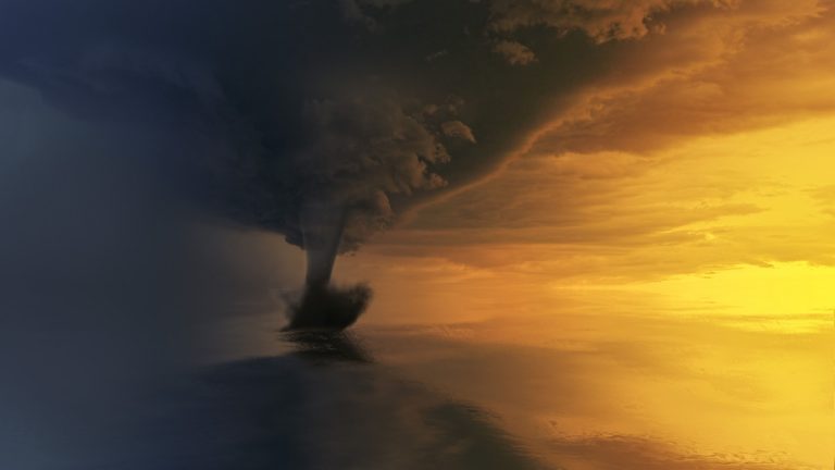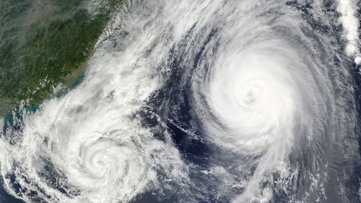
The words hurricane and typhoon both describe the same kind of rotating ocean storm within the broader tropical cyclone family. The preferred name changes with the ocean basin. A mature storm in the Atlantic is called a hurricane, while its counterpart in the western North Pacific is called a typhoon.
NOAA’s comparison places hurricanes and typhoons under the general term tropical cyclone, which is also the regional name used in some basins. Meteorologists use that name for an organized system of thunderstorms with a closed circulation that begins over tropical or subtropical water.
Regional vocabulary does not make one type inherently stronger. Wind speed, storm size, rainfall and the coast it approaches determine the danger. A storm can also change classification as it strengthens, weakens or moves into a different environment.
The ocean basin determines the name
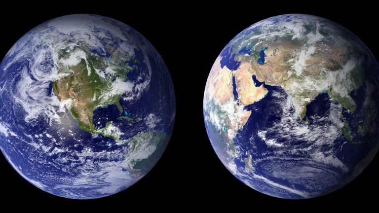
Hurricane is the standard term across the North Atlantic. It also applies in the eastern and central North Pacific. Typhoon is used in the western North Pacific. Agencies generally use tropical cyclone in the Indian Ocean and South Pacific.
The words reflect regional history and forecasting practice. They do not identify different physical engines. All tropical cyclones have warm-core circulation and organized deep clouds. Their energy includes heat released as water vapor condenses.
Cyclone has a broader meteorological meaning as well. Any large closed atmospheric circulation around low pressure can be called a cyclone. Extratropical cyclones at middle latitudes draw energy mainly from horizontal temperature contrasts and often carry fronts, unlike a classic tropical cyclone.
The World Meteorological Organization’s tropical cyclone overview coordinates the regional centers that issue forecasts and warnings. Local terminology helps people recognize the hazard products used in their basin.
Wind speed marks intensity stages
A developing system with a closed circulation is called a tropical depression in the Atlantic and eastern Pacific when its maximum sustained winds remain below 39 mph. The system receives a name upon becoming a tropical storm at 39 mph.
Once sustained winds reach 74 mph, the system qualifies as a hurricane in hurricane basins. The same threshold supports the typhoon designation in the western North Pacific, although regional agencies may use different averaging periods and additional intensity labels.
The National Hurricane Center climatology defines a major hurricane as Category 3 or higher, with sustained winds of at least 111 mph. Category reflects maximum sustained wind. It does not measure rainfall or storm surge.
Wind measurements require context. The United States uses a one-minute average for maximum sustained wind, while some international agencies use a ten-minute average. Values from two centers may therefore differ without representing contradictory observations.
Forecasters combine aircraft data, satellites, radar, ships, buoys and surface stations. Direct measurements are sparse over many oceans. Specialists therefore estimate intensity from cloud structure and other remote evidence.
Warm water supplies heat and moisture
Tropical cyclones begin with a preexisting disturbance and sufficiently warm ocean water. Evaporation transfers moisture into the lower atmosphere. Rising humid air cools and condensation releases heat that supports further ascent and lowers surface pressure.
Air spirals toward the low-pressure center because Earth’s rotation deflects moving air. The Coriolis effect is weak near the equator, which is one reason tropical cyclones seldom form within about five degrees of it.
Low vertical wind shear helps thunderstorms remain organized above the circulation. Strong shear can tilt the storm and displace its clouds from the center. Dry air or interaction with land can also disrupt the heat engine.
The ocean must provide heat through a sufficient depth. A shallow warm layer may be mixed with colder water by the storm’s own winds, limiting intensification. Deep warm water can continue feeding the system despite that mixing.
An eye forms inside the strongest storms
Rainbands curve around the center and carry bursts of heavy rain and wind. The eyewall lies closer to the center. It contains the most intense thunderstorms along with the highest surface winds in many storms. Air rises rapidly there before flowing outward high in the atmosphere.
Sinking air within the eye suppresses clouds, sometimes producing a deceptively calm period. Conditions can deteriorate abruptly when the opposite side of the eyewall arrives, with wind reversing direction.
Eyewall replacement cycles occur in some powerful storms. A new ring of thunderstorms forms outside the original eyewall and gradually takes over. Maximum winds may weaken temporarily while the wind field expands.
The National Weather Service guide to tropical cyclone structure describes the eye, eyewall and spiral rainbands. Real storms vary. Smaller systems can intensify or weaken more quickly than broad ones.
Wind category cannot summarize the hazard
The Saffir-Simpson Hurricane Wind Scale ranks hurricanes from Category 1 through Category 5 using sustained wind. It gives a useful estimate of potential wind damage but excludes storm surge, rainfall and tornadoes.
Storm surge develops as winds push seawater toward the coast. Its height depends on storm size and track, coastal shape, seafloor slope, waves and tide. A large lower-category storm can produce a severe surge if those factors align.
Rainfall depends partly on how fast the cyclone moves. A slow or stalled system may deliver extreme totals far inland, causing river and flash flooding after coastal winds weaken. Mountain terrain can intensify rainfall as moist air rises.
The official Saffir-Simpson scale explanation warns that category does not address these water hazards. Emergency guidance therefore describes expected impacts instead of asking residents to prepare from category alone.
Tropical cyclones can spawn tornadoes, especially in outer rainbands. Dangerous surf and rip currents may reach beaches hundreds of miles from the center, including places outside the forecast cone.
Forecast cones show track uncertainty
A forecast cone represents the probable path of the storm’s center based on historical forecast errors. It does not show the storm’s full size and hazardous weather can occur well outside it.
Track forecasts estimate where the center will travel. Intensity forecasts address how strong the cyclone may become. Both improve as observations enter numerical weather models, but rapid intensity changes and interactions with land remain difficult.
Watches provide time to prepare before dangerous conditions are expected. Warnings indicate a more immediate threat. People should follow the agency responsible for their location because lead times and terminology are tailored to regional operations.
A storm can outgrow its tropical identity
Landfall cuts a cyclone off from its ocean energy source and increases friction, usually weakening the circulation. Heavy rain and flooding can continue long after sustained winds fall below hurricane strength.
A cyclone moving into cooler latitudes may undergo extratropical transition. Its energy source shifts toward temperature contrasts and its wind and rain fields can expand. A post-tropical label describes structure, not the end of danger.
Names are retired when a storm is so deadly or costly that reusing the name would be inappropriate. The naming lists and warning systems differ by basin, yet their purpose is shared: clear communication about a moving hazard.
The simplest comparison is geographic. Hurricane and typhoon are regional names within the tropical cyclone family. Understanding intensity and local risk requires looking beyond the word to the storm’s wind field, water hazards, forecast and expected path.
Preparedness follows local impacts
Emergency plans should account for evacuation zones, flood exposure and the time needed to secure a home. A storm’s regional name offers no guidance about whether a particular household faces surge, river flooding or wind. Official local forecasts translate the cyclone’s track and structure into those consequences.
Preparation also begins well before a warning. Maintaining supplies, knowing evacuation routes and understanding how to receive alerts reduce decisions made under pressure for every household. Once tropical-storm-force winds begin, travel and outdoor work become dangerous even if the center remains offshore.
Related reading: today’s tropical storms and hurricanes and how bombogenesis intensifies storms.