Explainer

RSS Feed
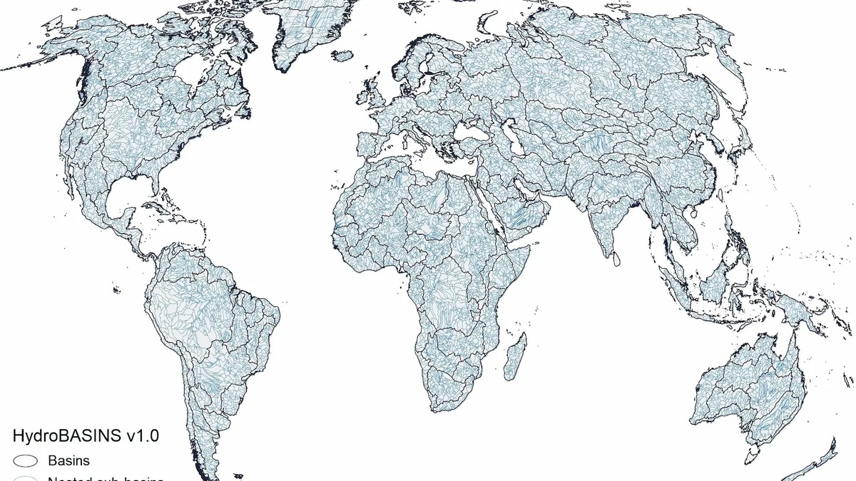
HydroBASINS world map of major river basins and nested sub-basins

Major Rivers of the World: Map and Drainage Basins

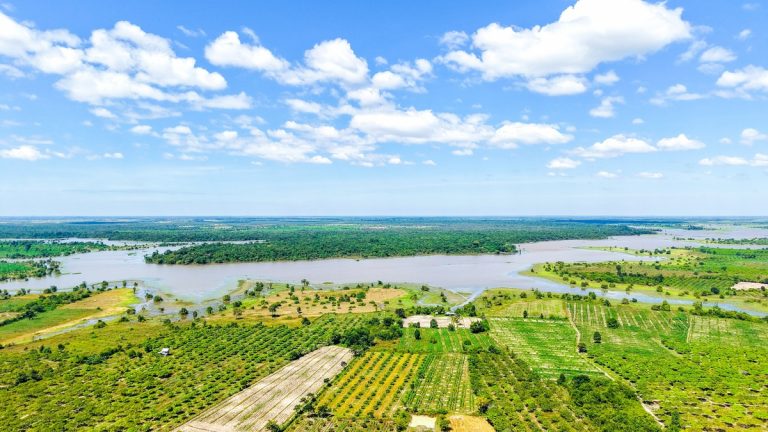
A world river map becomes easier to read when rivers are grouped by drainage basin and final outlet. Every basin contains land that drains toward one common outlet, which may be the Atlantic, Pacific, Indian or Arctic Ocean. Closed, or endorheic, basins instead end in an inland lake, wetland or dry depression. The phrase “major…
More

More in Explainer

Scuba_diver_descending_into_deep_blue_ocean_water

How Deep Can a Human Go in the Ocean?

There is no single depth limit for a human in the ocean. A breath-hold diver exposes the body directly to increasing pressure, a scuba diver breathes gas at ambient pressure and a passenger inside a rigid submersible remains near one atmosphere. The answer therefore ranges from tens or hundreds of meters for exposed divers to…

NOAA global ocean bathymetry map showing the shape and depth of the seafloor

Ocean Floor Topography Explained

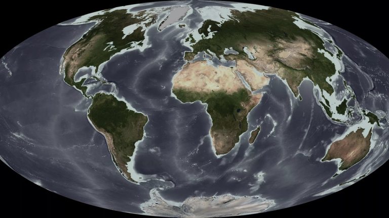
Ocean floor topography is the three-dimensional shape of the seabed. Scientists describe and measure that shape through bathymetry, the underwater counterpart of topographic mapping on land. An ocean-basin profile commonly begins with a shallow continental shelf, drops down a continental slope, crosses a continental rise or trench and continues over the deep basin toward ridges,…

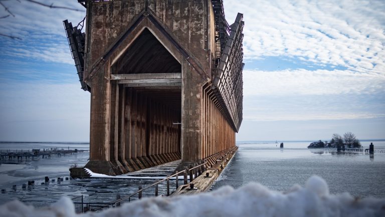
A stunning view of the abandoned ore dock in a snowy winter landscape by Lake Superior in Marquette, MI

Lake Superior in Winter: Ice, Storms and Lake-Effect Snow

Lake Superior does not freeze completely in a typical winter. Ice forms first in shallow bays and along protected shores, while deep open water often remains exposed. Coverage varies greatly between winters. Neither one low-ice season nor one high-ice season represents the lake’s permanent winter state. Open water continues exchanging heat and moisture with cold…