
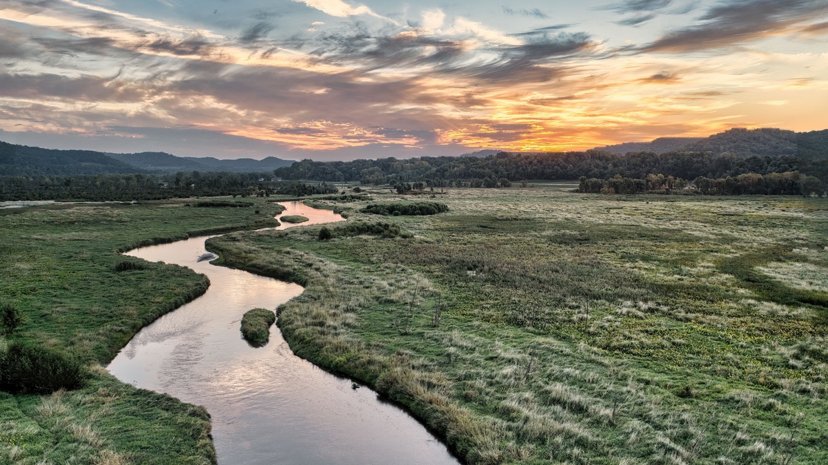
Many rivers in the United States flow north for all or part of their course. Major examples include the Red River of the North, St. Johns, Monongahela, Genesee, Niagara and San Pedro rivers. Alaska also contains numerous north-flowing rivers, including the Colville, while shorter streams across the country follow local slopes in every compass direction.
Northward flow is not a geological exception. Gravity moves water from higher elevation toward lower elevation and north can be downhill as easily as south. A map’s orientation creates the illusion that water should run toward the bottom of the page, but rivers respond to terrain, rock, sediment and base level rather than the convention that maps place north at the top.
Why rivers can flow north
A river’s direction reflects the gradient of its channel. The drop may be obvious in mountains or nearly imperceptible across a plain. The USGS explanation of river flow emphasizes that water follows elevation. Compass direction alone says nothing about whether a route is downhill.
Topographic contour lines verify the slope because they show elevation decreasing along the downstream route, regardless of its compass bearing.
Landscapes also change. A glacier can carve a basin before leaving deposits that redirect drainage. Elsewhere, tectonic uplift tilts the surface while erosion cuts a passage through rising terrain. A river may predate that terrain and maintain its course by eroding downward. Another may be diverted when a neighboring channel captures its headwaters.
Some rivers reverse their general compass direction during different reaches. A qualifying list must distinguish a river that flows north throughout most of its length from one with a north-trending segment. Meanders add smaller changes because the channel can point north, east, south and west within a few miles while its valley trends one way overall.
Red River of the North
The Red River of the North begins at the confluence of the Bois de Sioux and Otter Tail rivers on the North Dakota-Minnesota border. Its northward course follows the state line before crossing into Manitoba on the way to Lake Winnipeg. The name separates it from the Red River that forms part of the Texas-Oklahoma boundary.
A USGS Minnesota explanation notes that the route is slightly downhill toward Canada despite the valley’s very gentle slope. NASA calculates that the trough drops only about 40 meters from Fargo to the Canadian border over a straight-line distance of 235 kilometers. The actual river path is longer because it curves.
Northward flow contributes to a distinctive flood hazard. Spring thaw can release water in the southern basin while downstream northern reaches remain frozen. Ice jams and the low gradient can impede drainage, although snowfall, soil moisture, temperature and flood-control infrastructure also affect each event.
St. Johns River in Florida
The St. Johns River runs generally north through eastern Florida before turning east near Jacksonville and entering the Atlantic Ocean. Its headwaters lie in marshes west of Vero Beach. The river crosses a landscape with little relief, linking lakes, wetlands and broad slow-moving reaches.
A USGS hydrologic report identifies the St. Johns, Palatlakaha and Ocklawaha as north-flowing rivers in the region. The St. Johns does not flow in a perfectly straight line, but its overall course demonstrates how a slight northward decline can control a major drainage system.
Monongahela River in West Virginia and Pennsylvania
The Monongahela River forms near Fairmont, West Virginia, where the West Fork and Tygart Valley rivers meet. It flows north into Pennsylvania and joins the Allegheny River at Pittsburgh. Their confluence forms the Ohio River, which then flows generally west and southwest toward the Mississippi.
The National Park Service describes the Monongahela’s northward route past the Appalachian Plateau. Locks and dams now maintain navigation pools along much of the river, but those engineering works did not create its overall northward drainage direction.
Genesee and Niagara rivers in New York
The Genesee River rises in Pennsylvania and flows north across western New York to Lake Ontario at Rochester. It crosses waterfalls and gorges, including terrain within Letchworth State Park. Glacial changes helped reshape its drainage, leaving a course that cuts through older bedrock features.
The Niagara River is much shorter. It carries water from Lake Erie generally north to Lake Ontario and contains Niagara Falls. A NASA Earth-from-space description identifies it as north-flowing and links the falls to the retreat of continental ice and exposure of the Niagara Escarpment.
Both examples end in Lake Ontario, but they are hydrologically different. The Genesee drains a watershed of tributaries. The Niagara is a connecting channel between two Great Lakes and carries the combined outflow of a much larger upstream system.
San Pedro River in Arizona
The San Pedro River begins in Sonora, Mexico, crosses into southeastern Arizona and flows generally north to the Gila River. It supports an important riparian corridor through an otherwise dry region. The river may have intermittent or interrupted surface flow in some reaches, but its drainage direction remains northward.
A USGS study calls it a north-flowing tributary and documents historical channel entrenchment, widening and floodplain change. Groundwater pumping, drought, floods and sediment movement influence where water remains visible at the surface.
North-flowing rivers in Alaska
Alaska contains entire drainage systems that carry water north toward the Arctic Ocean. The Colville River flows generally east and then north across the North Slope to the Beaufort Sea. The Kuparuk and Sagavanirktok also drain northward from the Brooks Range region.
Within Denali National Park, the Sanctuary River flows north through the Outer Range. The National Park Service describes Sanctuary, Savage and Teklanika as antecedent streams whose courses existed before uplift. They cut downward as terrain rose, preserving paths that can appear to contradict the surrounding mountain grain.
Alaska makes clear why a claim that north-flowing rivers are rare is misleading. On a continent-scale map, drainage toward the Arctic is expected wherever the land surface descends northward. The same physical rule governs a tiny mountain creek and the broad Colville system.
Other partial or regional examples
The Souris River enters North Dakota from Saskatchewan, bends south through Minot and turns north again into Manitoba. The Willamette River flows north through Oregon’s Willamette Valley to the Columbia River. Wisconsin’s Fox River has two distinct sections and the Lower Fox flows generally north to Green Bay.
The New River is often included in popular lists because important reaches trend north through North Carolina, Virginia and West Virginia. Its full course curves considerably, so “north-flowing” is a useful generalization rather than a statement that every bend points north.
A long list can become arbitrary if it counts every meander. The most informative examples have a sustained northward valley direction, an official source describing that direction or a clear northward connection between named water bodies.
How to verify a river’s direction
Begin with elevation at the headwaters and mouth, then trace the channel on a topographic map. Stream gauges can confirm the downstream order of stations and show changing river levels, although stage by itself does not establish compass direction.
Watershed boundaries offer another check. Tributaries converge toward a main stem, while the mouth leads to a lower river, lake or ocean. The connected terms are explained in river anatomy. Flow volume, examined in Argo’s guide to the world’s largest river by discharge, is separate from direction.
North-flowing rivers are therefore neither mysterious nor disobedient. They follow gravity across landscapes whose lower ground happens to lie north. The surprising part comes from the way maps train the eye, not from a different rule of water movement.
Direction and destination should always be stated together. “Flows north” describes orientation, while the receiving lake, river or ocean explains the drainage system and confirms which end is downstream.





