
Wisconsin’s best-known lakes range from two Great Lakes to deep natural basins and enormous river reservoirs. The 12 selections below are not an objective ranking. Statewide geographic significance guided the selection. Exceptional size or depth provided another reason for inclusion, as did a lake’s connection to a major city or prominent place in Wisconsin’s water history.
The list distinguishes natural lakes from flowages created by dams. Wisconsin DNR’s state lake inventory summary provides the main area and depth comparisons, while the agency’s lake program explains monitoring and management.
“Best-known” is editorial rather than scientific. It does not claim that one lake has better water quality, scenery or habitat than another. Inclusion favors waters that explain a major part of the state map or illustrate an important lake type. Many smaller northern lakes remain locally famous without meeting that statewide method.
The two Great Lakes are included because they define Wisconsin’s borders and drainage. Among inland waters, the selection combines the largest natural lake, the deepest natural lake and recognizable urban basins. Four reservoirs show how dams expanded river valleys into named lakes whose hydrology remains tied to flowing water.
No tourism score was used. Public access and resort development change over time. So does fishing popularity, while the geographic features behind this list remain more stable. The focus is why each lake belongs in a statewide account.
Other defensible editorial selections would produce a different list.
1. Lake Michigan
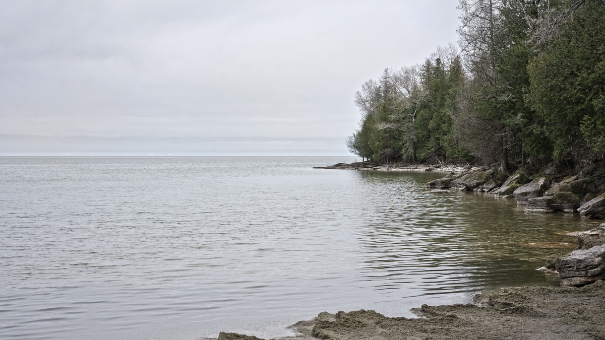
Lake Michigan forms Wisconsin’s eastern edge and is the only Great Lake located entirely within the United States. Its Wisconsin shore includes Milwaukee, Racine, Kenosha, Manitowoc and Door County. Water leaves toward Lake Huron through the Straits of Mackinac.
Michigan and Huron share the same surface elevation and are hydrologically one water body, despite their conventional names. Argo’s count of the Great Lakes explains why the familiar answer of five and the hydrologic answer of four can both appear.
2. Lake Superior
Lake Superior borders northwestern Wisconsin between Minnesota and Michigan. The Apostle Islands lie off the Bayfield Peninsula, while the St. Louis River estuary reaches the lake near Superior. Cold, deep water sets it apart from Wisconsin’s inland lakes.
Superior is the world’s largest freshwater lake by surface area. Its basin was excavated and modified by glaciers, as described with the other Great Lakes in how the Great Lakes formed.
3. Lake Winnebago
Lake Winnebago is Wisconsin’s largest inland lake by area at about 137,708 acres. It is natural, although dams regulate its water level. The Fox River enters from the west through a chain of upstream lakes and leaves at the north toward Green Bay.
The lake is broad and shallow, averaging roughly 15.5 feet in the DNR summary. Its large volume supports a nationally important lake sturgeon population. Connected rivers give those fish access to spawning habitat. The Wisconsin DNR sturgeon program describes the wider Winnebago system.
4. Green Lake
Green Lake, often called Big Green Lake, is Wisconsin’s deepest natural inland lake. Its maximum depth is about 236 feet. The basin lies in Green Lake County within the upper Fox River watershed.
Deep water allows summer stratification and preserves colder habitat below the warm surface layer. Green Lake should not be confused with Lake Wazee, a flooded former quarry that is deeper but is not a natural lake.
5. Geneva Lake
Geneva Lake lies in southeastern Wisconsin near the city of Lake Geneva. Its surface covers more than 5,000 acres. With a maximum depth of about 135 feet, it ranks among the state’s deepest natural lakes. Its basin was formed by glacial activity.
The lake’s developed shoreline makes it prominent in the state’s social geography, yet its physical significance is the deep southern Wisconsin basin. DNR fishing regulations classify Geneva among waters managed for particular quality opportunities, summarized on the quality fishing waters page.
6. Lake Mendota
Lake Mendota is the largest of Madison’s Yahara chain. It lies north of the downtown isthmus and drains through the Yahara River into Lake Monona. University research has made it one of the world’s most intensively studied lakes.
Mendota occupies a glacial basin and influences the identity of Wisconsin’s capital. It is a drainage lake with defined inflows and an outlet, unlike the planned definition of a seepage lake, which lacks a regular surface inlet or outlet.
7. Lake Monona
Lake Monona lies south and east of central Madison, linked upstream to Mendota and downstream to Waubesa. The state capitol is visible across its water, making it one of Wisconsin’s most recognizable urban lakes.
The Yahara River connection means water quality reflects the larger chain rather than only Monona’s immediate shore. Wisconsin DNR’s history of the Madison lakes describes how glacial sediment helped dam an older valley and create the four-lake system.
8. Devil’s Lake
Devil’s Lake sits between quartzite bluffs in Sauk County. Its area is small compared with Winnebago. The enclosed valley, framed by exposed rock, nevertheless makes it one of Wisconsin’s best-known natural landscapes.
Glacial deposits blocked former drainage routes at the ends of the gorge. The lake has no normal surface outlet, which makes it an example relevant to seepage-lake hydrology. Wisconsin DNR’s geology guide explains the quartzite and glacial history.
9. Chippewa Flowage
Chippewa Flowage is a reservoir created in the 1920s by a dam on the Chippewa River system. It covers about 15,300 acres. Islands break up the surface, while bays extend into the flooded channels of the former river landscape.
Calling it a flowage signals its human-modified origin. Forest and wetland around much of the shore give it a natural appearance, but the water body’s level and form depend on dam operation rather than an undammed glacial basin.
10. Petenwell Lake
Petenwell Lake is Wisconsin’s largest man-made lake, covering about 23,040 acres on the Wisconsin River. The dam impounds a long reach between central Wisconsin communities, so the map retains a river-like north-south form.
It is a reservoir rather than a natural lake. River inflow and power operations control its level. Those forces also affect the current and the time that water remains in the impoundment. The DNR’s year-round fishing waters list identifies Petenwell as a flowage, preserving that distinction in public guidance.
11. Castle Rock Lake
Castle Rock Lake is another Wisconsin River reservoir immediately downstream of Petenwell. The state summary gives roughly 13,955 acres. Broad embayments and developed shore contrast with narrower river reaches above and below.
Its water level and flow are tied to dams in the river system. Castle Rock therefore belongs in a list of well-known Wisconsin waters, but it should not be used as an example of a naturally formed inland lake.
12. Lake Wisconsin
Lake Wisconsin is a reservoir on the Wisconsin River north of Madison. Prairie du Sac Dam holds the water and creates a long impoundment. Its bluffs rise above islands inherited from the former river valley.
The lake demonstrates why common names do not reveal origin. “Lake” can describe a natural basin or an artificial impoundment. A planned guide to spring-fed lakes covers a different hydrologic category in which groundwater supplies a significant share of inflow.
Together, these 12 waters represent four distinct geographic groups: Great Lakes, natural inland lakes, an urban connected chain and reservoirs. Each group is prominent for a different reason. The order is therefore not a score of beauty, nor does it rank ecological quality.
Wisconsin has thousands of named lakes and many locally important waters are absent. This selection favors lakes that help explain the state’s geography at a broad scale. It also keeps the central distinction visible: a flowage may function as a lake today while owing its present surface to a dam.
Argo also explains where to find official Wisconsin lake depth maps and compares the cleanest Wisconsin lakes using DNR monitoring data.





