Researchers at Penn State are recreating Arctic permafrost inside a Pennsylvania lab to learn how frozen soil responds to microwave signals. Their work could help scientists read satellite and drone data more accurately, giving climate models a clearer view of thawing ground in some of the most remote regions on Earth.
The project begins with something ordinary. A small cylinder of soil sits in a lab, wired with sensors, then slowly cools below freezing. As water inside the sample turns to ice, the soil’s structure changes. Those hidden changes affect how electromagnetic waves move through the material, which means they can alter the signals detected by satellites and drones flying far above Arctic landscapes.
For the Penn State team, the goal is to connect a lab measurement to a planetary problem. Arctic permafrost holds enormous stores of carbon and warming can unlock greenhouse gases from frozen ground. Better measurements can help researchers track where thaw is happening, how fast it is changing and what those changes may mean for climate forecasts and northern communities.
Permafrost’s hidden carbon threat
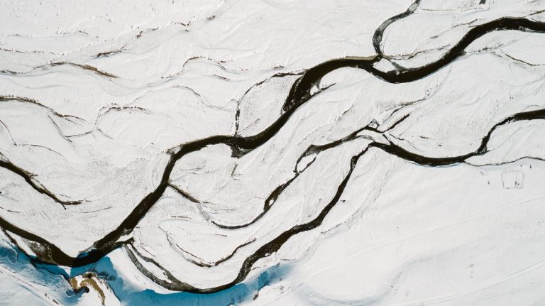
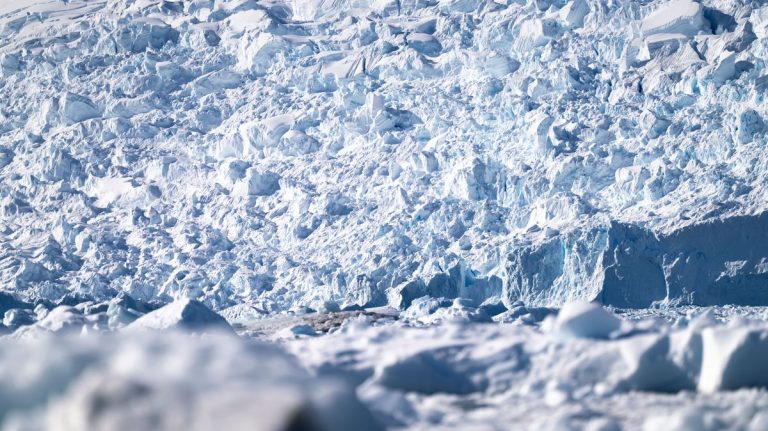
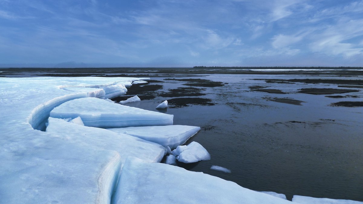
Permafrost is soil that stays frozen for at least two consecutive years. It occurs across huge stretches of Alaska, northern Canada, Siberia and other cold regions. In many places, it sits below an active surface layer that thaws in summer and freezes again in winter.
The ground can look surprisingly plain. MD Mashfiqur Rahman, a doctoral candidate in engineering science and mechanics at Penn State, described how easily the material can be overlooked. “But that brown dirt is permafrost.”
That dirt matters because it stores ancient organic material. Rahman said permafrost holds about 1,500 billion tons of carbon, nearly double the amount already in the atmosphere. As the Arctic warms, frozen organic matter can begin to break down and release carbon dioxide and methane.
The climate stakes are especially high because the Arctic is warming faster than the global average. According to Rahman, these regions are now warming four times faster than the rest of the world. That rate of warming is enough to start permafrost thaw, which creates urgency for better monitoring tools.
For scientists, the challenge is scale. Permafrost can extend across vast and difficult terrain. Some locations are reachable only with major field campaigns, while others are monitored from above. That makes remote sensing a central tool for tracking what is happening beneath the surface.
A lab-built Arctic
Penn State’s role in the broader project centers on bringing permafrost behavior into a controlled laboratory setting. Researchers build samples from combinations of sand, silt and clay supplied through the collaboration. They also vary the amount of water inside each sample.
Those mixtures mimic different kinds of frozen ground. Some permafrost is wetter, some is drier and some contains different proportions of mineral particles. Each combination can respond differently as it freezes or thaws.
The lab setup cools the soil from room temperature to around negative 10 to negative 15 degrees Celsius. That range lets the team simulate freeze-thaw conditions like those that occur in polar environments during seasonal change. As the samples pass through those temperature shifts, sensors capture how the soil responds.
This controlled approach gives the researchers something that field work alone cannot easily provide, a way to isolate how specific soil features change the signal. In nature, temperature, water, ice, soil composition and surface conditions all shift together. In the lab, one factor can be adjusted while the others are tracked carefully.
The work draws on expertise across Penn State University, including the Materials Research Institute, the Huck Institutes of the Life Sciences, the Institute of Energy and the Environment and the Institute for Computational and Data Sciences. That mix of facilities helps the team study soil as a material, a climate signal and a remote-sensing target.
How microwave signals reveal thaw
Microwave signals are useful because soil properties shape the way they reflect. When a satellite or drone sends electromagnetic energy toward the ground, part of the signal returns to the instrument. The returning signal carries information about the surface and near-surface conditions.
Frozen soil, thawed soil, wet soil and dry soil each interact with that energy in different ways. A major focus of the Penn State work is the soil’s dielectric properties, also called permittivity. In simple terms, these properties describe how a material responds to an electromagnetic wave.
When water freezes inside soil, it changes the material’s internal arrangement. Ice, liquid water, air pockets and mineral grains all affect the electromagnetic response. By measuring those changes in the lab, the researchers can build a better link between signal behavior and real ground conditions.
Mike Lanagan, a professor of engineering science and mechanics who leads Penn State’s role in the project, framed the work through materials science. “We’re always correlating structure and properties.”
That relationship is the heart of the effort. If scientists know how a soil’s structure affects its microwave response, they can interpret satellite and drone signals with greater confidence. The result is a more reliable picture of whether permafrost remains frozen or has begun to thaw.
From soil cylinders to satellites
The project links lab experiments with field measurements and airborne data. Penn State is part of a multi-university collaboration led by Saint Louis University. Each partner contributes a different piece of the permafrost-monitoring puzzle.
Researchers at Saint Louis University fly drones over permafrost in Alaska to collect electromagnetic data. They also provide mechanical and thermal property data for the samples. The University of Alaska contributes field expertise and access to permafrost regions, helping connect laboratory findings with real landscapes.
The Ohio State University focuses on interpreting satellite signals. That work is crucial because satellites can observe remote Arctic terrain repeatedly, across large areas and under conditions where on-the-ground measurements are difficult.
Lanagan explained that satellites and drones can capture information about places people cannot easily reach. Their instruments send signals down and measure the reflected energy. Soil conditions then shape the return pattern.
By combining laboratory experiments, computer models, drone observations and satellite data, the team is building a chain of evidence. A frozen cylinder in Pennsylvania can help explain a signal recorded above Alaska. That signal can then feed into maps and models that track environmental change across the Arctic.
Student-built tools with global reach
A key part of the Penn State work came through an engineering capstone project. Students designed and built a system to freeze and thaw soil samples while measuring their electromagnetic response. The apparatus helps characterize the electrical properties of artificial permafrost across a broad temperature range.
Mingjin Lu, a computer engineering major who led the senior capstone team, said the system allows the group to simulate permafrost and collect microwave responses in the lab. Those measurements can then be compared with temperature changes to support remote sensing.
The student effort shows how climate research often depends on carefully built instruments. A satellite image may look like the final product, but the interpretation behind it starts with calibration, testing and repeated measurements. The capstone system gives researchers a way to connect controlled soil behavior with signals from real landscapes.
Other students are studying the soil structure itself. Agustin Harte, an engineering science and mechanics student, focuses on how different water levels and soil compositions change the internal structure. That structural information helps explain why the microwave response shifts as freezing and thawing occur.
The team uses advanced imaging tools to see what the eye cannot. CT scanning, electron microscopy and magnetic resonance imaging help reveal how particles and water are arranged inside the samples. Those images add physical detail to the electrical measurements, strengthening the link between material structure and remote observations.
Uses beyond frozen ground
The immediate focus is Arctic permafrost, but the methods could reach far beyond polar science. The same kind of signal interpretation may help researchers monitor soil moisture, groundwater, agricultural conditions and other environmental changes in places where direct measurements are limited.
That broader potential comes from the basic physics. Electromagnetic signals respond to water, structure and material properties. Those features matter in frozen ground, farm soil, wetlands and many other landscapes.
Better monitoring can also support infrastructure planning in northern regions. Roads, pipelines, buildings and other structures can be affected when frozen ground loses stability. More accurate maps of thawing conditions could help communities and governments prepare for changing risks.
Climate models may also benefit from improved permafrost data. When scientists can better estimate where frozen ground is thawing, they can refine projections of greenhouse gas release. That matters for understanding future warming and planning adaptation strategies.
The Penn State work shows how a small soil sample can carry global importance. A cylinder of frozen dirt in a lab can help researchers read signals from the Arctic, improve climate models and sharpen the tools used to watch a changing planet.