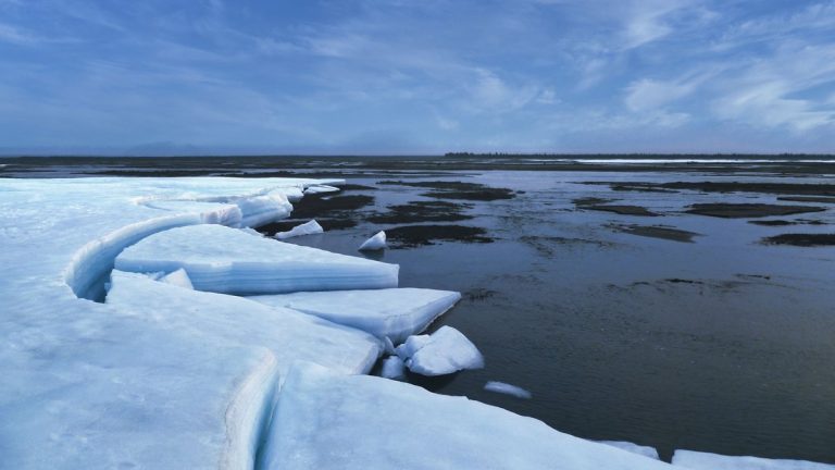
Researchers at Monash University have found that Antarctica’s current ice loss can reveal how much the continent is likely to add to sea levels over the next 30 to 50 years. The study, published in Nature, suggests that models matching today’s observed ice loss can give governments and coastal planners a stronger basis for decisions through mid-century.
The work was led by Dr. Felicity McCormack, a glaciologist at Monash University and Securing Antarctica’s Environmental Future. Her team tested whether present-day ice loss can act as a signal for future sea level rise. The answer points to a useful planning window at a time when coastal communities need practical numbers.
Sea level rise affects flood maps, seawalls, insurance risk, ports, roads and the future of low-lying settlements. Antarctica remains one of the hardest parts of that calculation because its ice sheet reacts through a mix of slow flow, ocean melting and sudden retreat. This study separates the next few decades from the end of the century, where harder-to-predict processes become more important.
Today’s melting predicts the next few decades
The central finding is simple and powerful. If an ice sheet model can reproduce the rate of Antarctic ice loss observed in 2025, it can give a reliable estimate of Antarctica’s contribution to sea level rise for several decades ahead.
That matters because near-term projections are the ones cities and nations can use now. A seawall, drainage upgrade, harbor redesign, or relocation plan usually depends on the next few decades rather than the distant endpoint of 2100. The study gives planners a way to identify which models deserve the most trust for that window.
“Accurately predicting how much and how fast global sea levels will rise offers vital information for future coastal planning and government policy,” said Dr. McCormack. Her point lands squarely on the practical problem. Better forecasts can turn a vague risk into a schedule for action.
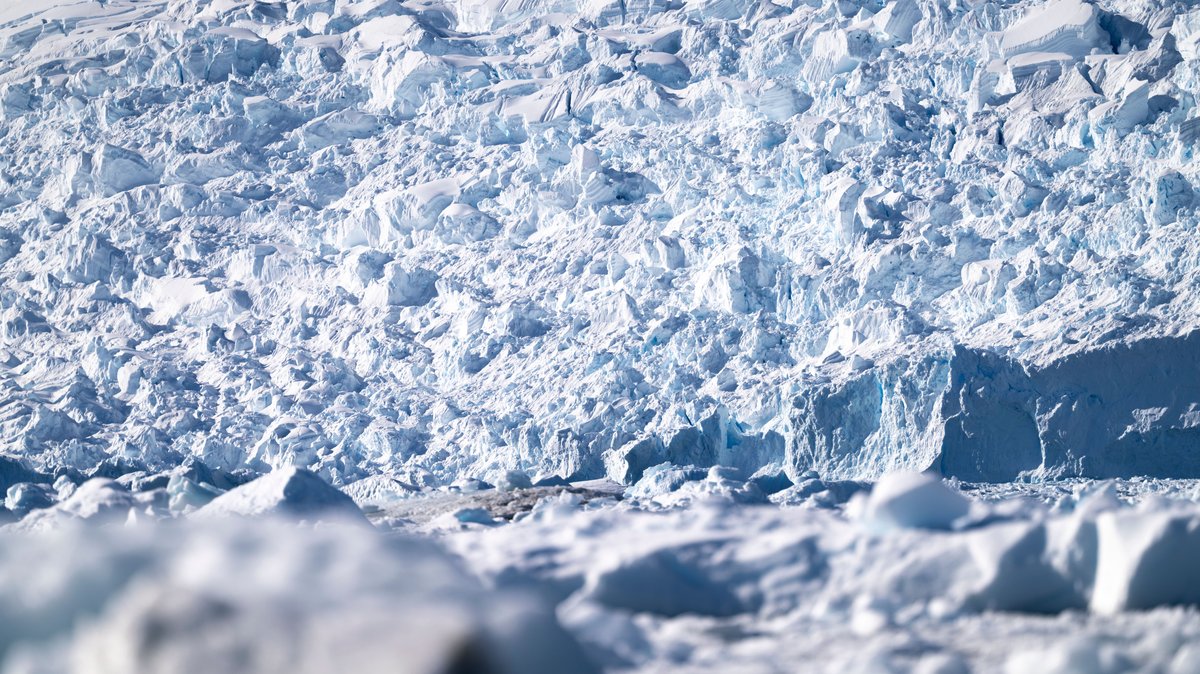
Antarctica already loses ice into the ocean, raising global sea levels. The challenge has been deciding how much of that loss will accumulate over time. According to the study, today’s rate of loss contains more information about the near future than many earlier approaches captured.
The model test that sharpened the forecast
The team examined a broad set of Antarctic ice sheet models, including models used in sea level projections assessed by the Intergovernmental Panel on Climate Change. These models vary in their assumptions, equations and treatment of the places where ice meets ocean water.
Despite those differences, a clear pattern emerged. Models that closely matched present-day Antarctic ice mass loss also produced dependable projections for the next several decades. That relationship held across emission pathways and model complexity, including low-likelihood scenarios with severe outcomes.
“When models replicate present-day observations of Antarctic ice mass loss, their projected ice mass loss rates over the coming several decades provide a reliable foundation for planning and adaptation,” said Dr. McCormack.
This approach uses real-world measurements as an anchor. Instead of treating every model result as equally useful for the near term, the study asks whether the model can reproduce what Antarctica is doing now. A model that passes that test earns more confidence for mid-century planning.
The method also helps explain why short-term projections can be more stable than long-term ones. Over several decades, the ice sheet still carries a memory of its current state. By the late century, feedbacks and threshold behavior can reshape the picture.
Why mid-century planning gets clearer
For coastal planners, the next 30 to 50 years are the crucial stretch. Roads, wastewater systems, airports, rail lines, homes and seawalls built today may still be in service by the 2050s and 2060s. A clearer estimate of near-term sea level rise can change how those investments are designed.
Before this study, Antarctica’s contribution over the next few decades remained difficult to pin down with confidence. The far end of the century often dominated public discussions because the largest risks appear there. The Monash-led work highlights a more immediate planning horizon, where observations and models line up more strongly.
The result is especially relevant for low-lying Pacific nations and coastal regions with limited time to adapt. Some communities need to decide whether to harden infrastructure, retreat from vulnerable land, or redesign essential services. Those decisions are easier when the next few decades have a narrower range of expected outcomes.
The study also frames Antarctica’s future as two linked time periods. Through mid-century, present-day ice loss gives a reliable guide. Later in the century, the influence of self-reinforcing ice loss grows. That division can help policymakers use available science without pretending every decade carries the same level of predictability.
“The research findings provide a roadmap for future climate planning,” said Dr. McCormack. The roadmap begins with models that match today’s data, then pushes researchers to improve the physics behind longer-term projections.
Where the late-century picture changes
The confidence window has limits. By the end of the 21st century, the study finds that the connection between present-day ice loss and future sea level rise weakens. Processes linked to marine ice sheet retreat begin to play a larger role.
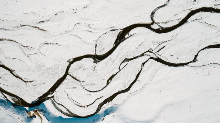
One key process involves ice resting on bedrock below sea level. In many places, that bedrock slopes downward toward the continent’s interior. Once the ice edge retreats into deeper ground, the geometry can encourage further retreat. This can speed up ice loss far beyond a simple extension of current trends.
Warm ocean water can also reach beneath floating ice shelves. Those shelves act like braces that slow the flow of inland ice toward the sea. When the shelves thin, the glaciers behind them can move faster. Over time, that can raise the rate of Antarctic sea level contribution.
These feedbacks develop across longer timescales, which makes the late-century outlook harder to constrain. The study points to them as priorities for future model development. Better treatment of ice-ocean interactions, grounding-line movement and bedrock geometry could reduce the spread in projections.
The stakes are large. IPCC assessments leave open the possibility of global sea level rise exceeding two meters by 2100 under high-emission scenarios with large-scale Antarctic Ice Sheet collapse. The Monash announcement notes that such a rise would expose major coastal populations and infrastructure to severe flooding risks.
What coastal planners can use now
The practical message is that present-day observations can help sort stronger near-term projections from weaker ones. Coastal authorities can look for models that reproduce current Antarctic ice loss, then use those models to guide decisions through mid-century.
This could improve how governments plan for seawalls, drainage, zoning and emergency routes. It could also help communities decide when to upgrade infrastructure and where new development should be avoided. In places where relocation may eventually be necessary, a 30 to 50 year warning window has enormous value.
The work also gives scientists a clearer research target. Near-term adaptation can rely on models tested against today’s ice loss. Long-term planning needs improved understanding of threshold behavior and accelerating retreat. That distinction can make sea level policy more precise.
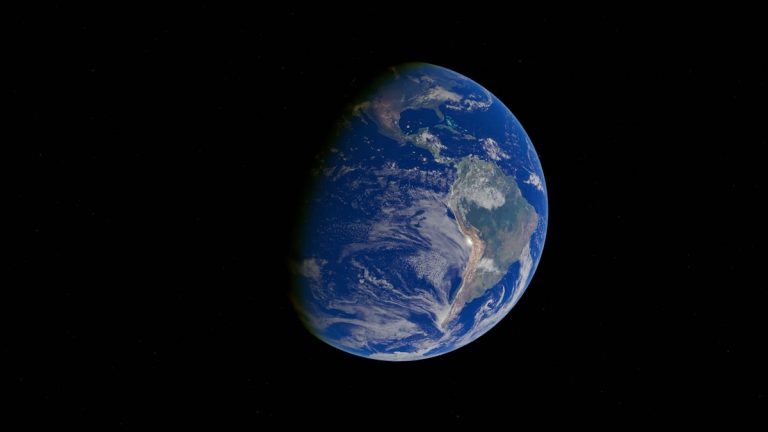
Securing Antarctica’s Environmental Future, the Monash-led program involved in the study, focuses on Antarctic and Southern Ocean science for Australia, the Asia-Pacific region and the wider world. This research fits that mission because ice loss in Antarctica does much more than change a remote landscape. It reaches every coast.
The discovery gives planners a firmer grip on the decades immediately ahead. Antarctica’s deeper future still demands better models, sharper measurements and lower emissions. For now, the continent is offering a clearer warning signal and that signal can be used.