Oceans

RSS Feed

Ocean science news, explainers, and statistics covering marine environments, currents, climate, coasts, seafloor research, and the changing global ocean.

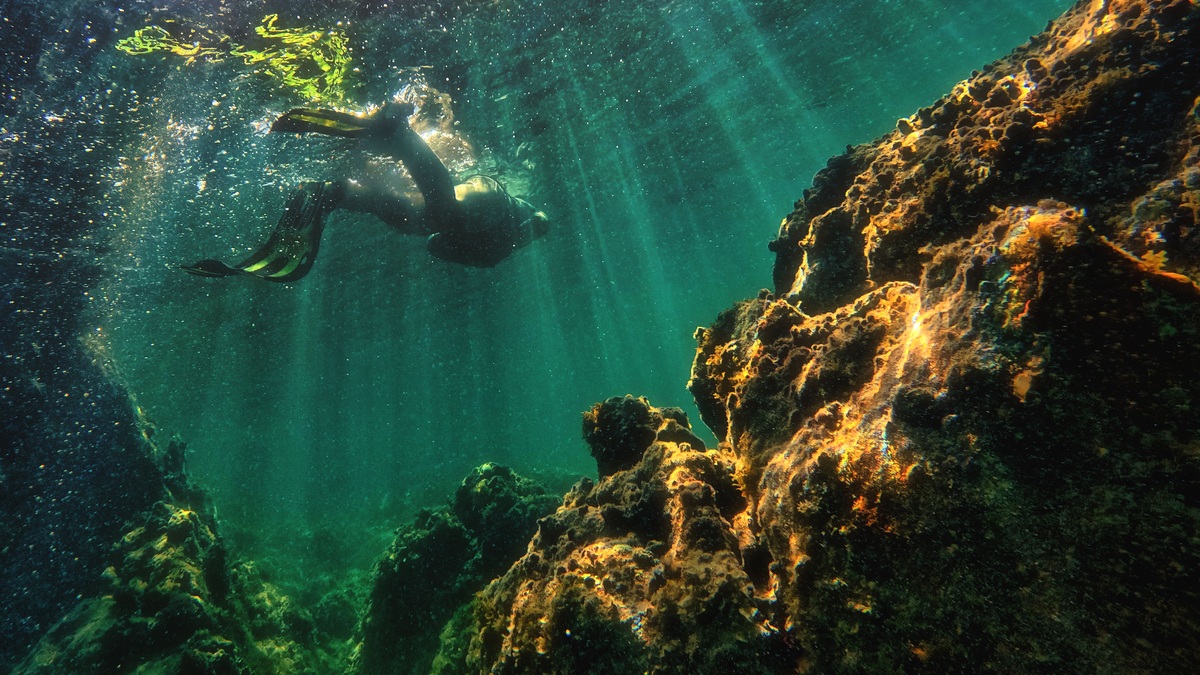
A scuba diver exploring an underwater reef

Is Atlantis a Real Underwater Civilization?

Neat lines cross parts of the seafloor on digital maps, sometimes forming grids that resemble streets. The patterns have inspired claims of a lost city beneath the Atlantic. Their true origin is more revealing about how scientists map the ocean than about any vanished civilization. NOAA explains that one often-cited underwater city pattern northwest of…
More

More in Oceans

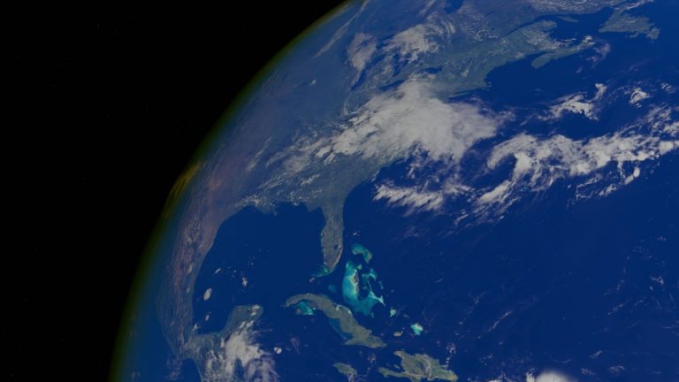
World_map_showing_the_planets_oceans

What Are the Seven Seas?

The Seven Seas do not have one permanent historical list. The phrase has followed the horizons of the people using it, from regional waters known to ancient traders to the great ocean divisions on modern maps. A current popular list counts the Arctic, North Atlantic, South Atlantic, North Pacific, South Pacific, Indian and Southern oceans.…

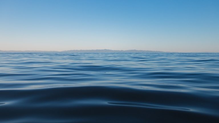
Open_ocean_near_the_pacific_pole_of_inaccessibility

Where Is Point Nemo?

Point Nemo lies in the South Pacific at roughly 48°52.6′ south and 123°23.6′ west. Every direction leads across about 1,670 miles of open water before reaching land. Its three nearest points are Ducie Island to the north, Motu Nui near Easter Island to the northeast and Maher Island off Antarctica to the south. The name…

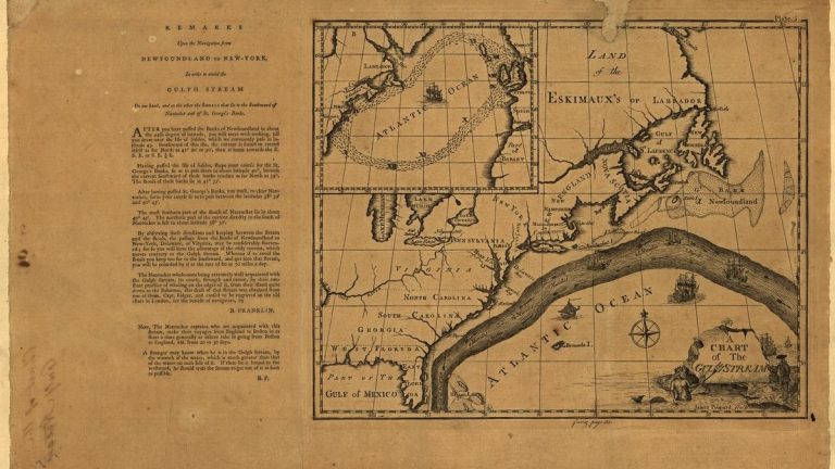
The Franklin-Folger chart showing the Gulf Stream across the Atlantic Ocean

Who First Mapped the Gulf Stream?

Benjamin Franklin and Nantucket sea captain Timothy Folger produced the first widely recognized chart of the Gulf Stream in the late 1760s. Their map answered a practical postal puzzle: packets sailing west from Britain often took longer to reach New York than experienced American whalers expected. Folger knew where the fast current ran and Franklin…