
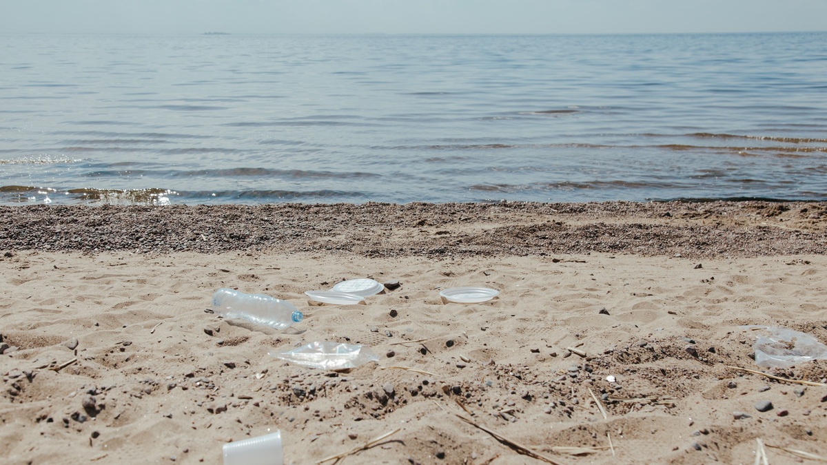
A catcher beach is a stretch of coast where winds and currents repeatedly deposit floating debris. Its sand or rocks may hold fishing floats, bottles and other objects that entered the water far away. The unusual concentration can make the beach look like a major local source of pollution even when ocean circulation delivered much of the material.
NOAA’s definition of a catcher beach focuses on geography and transport. A shoreline’s orientation, nearby current patterns and exposure to prevailing winds determine whether floating objects arrive or pass by. Because those controls operate again and again, cleaning the site once may leave it covered after the next sequence of storms.
Catcher beaches help scientists study transport because they concentrate material that would otherwise remain widely scattered. They also create an unfair burden for remote communities. Residents may have produced little of the debris they remove, while access and disposal costs make each cleanup difficult. The shoreline acts as a physical collector without regard to political boundaries or ownership across the connected ocean basin.
Currents funnel debris toward certain shores
Floating debris does not move exactly with the water beneath it. Wind pushes the portion exposed above the surface, waves create a net drift and currents carry the object along the coast. A high-sided foam float can respond to wind more strongly than a waterlogged crate, so different objects may follow different paths.
Shoreline orientation determines what happens when those paths approach land. A headland may deflect a current, while a curved bay retains floating material that enters its quieter water. Islands on the downwind side of a broad ocean reach can intercept debris that otherwise would continue traveling.
Tides redistribute the arrivals. High water places debris above the normal shoreline and later waves may bury it in vegetation or between rocks. Another tide can refloat part of the deposit, creating a continuing exchange between land and sea.
Oceanographers use drifters and circulation models to study these routes. The NOAA currents tutorial explains how wind, density differences and Earth’s rotation contribute to ocean movement. Local beach accumulation adds the influence of coastal shape at the final stage.
Windage describes the force of wind on the portion of an object above the surface. A buoy with a tall exposed section can move at a different speed or angle from a nearly submerged net. Mixed debris therefore separates during transport even under the same broad weather pattern.
A catcher beach records distant activity
Labels, fishing gear styles and manufacturing marks sometimes reveal where an item came from. The evidence can connect a remote beach to shipping or fishing grounds across a large region. It rarely identifies the exact route or date of loss because objects can circulate for months, strand temporarily and return to the water.
Debris composition provides broader clues. An urban river mouth may deliver food packaging and smoking litter, while a remote North Pacific coast may receive more floats, nets and crates associated with marine activity. Disaster debris can add a temporary pulse that differs from the normal pattern.
Weathering gives only a rough sense of time. Sun-bleached plastic may have spent years exposed, but abrasion can happen quickly in surf. Organisms growing on an object indicate immersion, although growth rates depend on water temperature and where the object traveled.
Arrival timing can still reveal patterns when records span several seasons. A pulse of similar fishing floats after a sequence of storms may indicate common transport conditions. Analysts need multiple observations before connecting the pulse to a particular source region.
Remote catcher beaches can hold large loads
Alaska’s long, complex coastline contains beaches exposed to North Pacific transport. NOAA has described Catcher Beach on Afognak Island as a site with high debris accumulation. The Native Village of Afognak project paired cleanup with work on trails and a culturally important historic village area.
Remote removal is physically difficult. Crews may need boats or aircraft to reach a site and recovered nets can be heavy with water and sand. Sharp metal and unknown containers require careful handling. Moving collected material to a suitable disposal or recycling facility can cost more than picking it up.
Limited access also affects monitoring. A city beach can be surveyed weekly, while an isolated island may be visited once during a field season. A large pile observed on arrival may represent several years of accumulation rather than a recent surge.
Wildlife exposure continues between visits. Rope and nets can entangle animals, while smaller plastic is available for ingestion. Debris can crush vegetation or cover nesting habitat when storms push it inland.
Cleanup crews often cut large nets into manageable sections only after checking for trapped wildlife. Wet synthetic rope and attached organisms add substantial weight. Planning must include tools, protective equipment and a route that moves material without scattering fragments.
Cleanup data reveal how fast debris returns
Researchers distinguish standing stock from accumulation. A standing-stock survey counts the material present on a beach at one moment. An accumulation study clears a defined area and returns at regular intervals, measuring what arrived during each period.
Repeated collection can show seasonal patterns tied to storms or fishing activity. It also lets managers calculate the effort needed to keep a high-priority site clear. Photos, weights and standardized categories make results comparable across visits.
A cleaner beach after a project does not prove that the source has stopped. Catcher beaches receive material from a wide area and the same circulation processes remain active. Monitoring after removal separates a lasting reduction from a brief reset.
Standardized transects make visits comparable. Teams mark a fixed shoreline length, record the width searched and apply the same lower size limit. Without those controls, a larger volunteer group can appear to find a pollution increase simply because it searched more ground.
Prevention must reach beyond the beach
Local cleanup protects habitat and prevents stranded objects from returning to sea, but it treats the end of the route. Prevention includes secure waste systems on land, recovery of lost fishing gear and better control of materials aboard vessels. Ports can provide disposal options that make damaged gear easier to bring ashore.
The EPA Trash Free Waters program targets land-based material before it reaches waterways. International cooperation is also relevant because currents cross national boundaries. Data from a catcher beach can help identify product types and sectors that deserve focused action.
A catcher beach is therefore both a cleanup challenge and a monitoring site. Its concentrated debris shows how ocean physics connects distant places. Protecting it requires repeated local care, while reducing future arrivals depends on stopping waste and gear loss across the larger region that supplies the current.
Regional coordination gives the observations more value. Ports, fishing organizations and coastal communities can compare item types across sites. When several catcher beaches record the same change, the shared evidence can support a targeted prevention project instead of isolated cleanup alone.
Prevention results may appear slowly because old debris remains in circulation. A reduction in newly lost gear can coexist with continued arrivals from material released years earlier. Labels, condition and repeated counts help analysts separate legacy pollution from a current source, although many individual objects remain impossible to date. Managers therefore compare several seasons and look for consistent changes in distinctive items. A decline at one catcher beach gains credibility when nearby monitoring sites show the same direction under comparable survey methods.
Related reading: how much plastic is in the ocean and flotsam and jetsam.





