
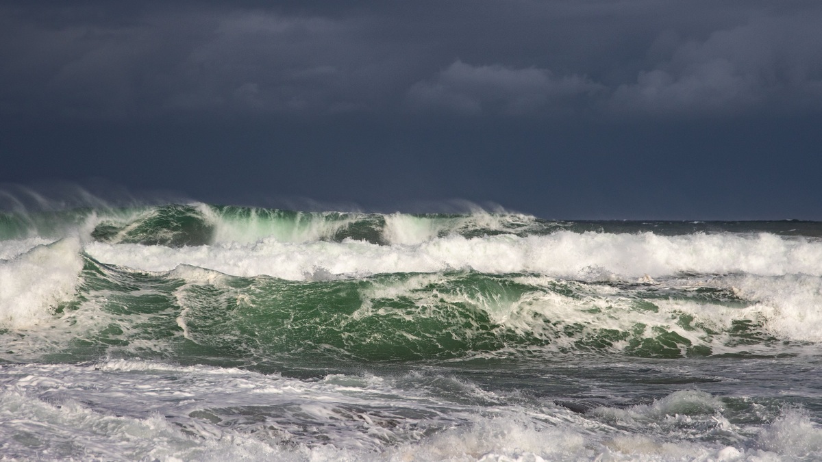
Wave fetch is the uninterrupted distance across water over which wind blows in a broadly consistent direction. A longer fetch gives the wind more room to transfer energy into the surface, allowing waves to become taller and develop longer periods. Short fetch restricts growth even when the wind itself is strong.
Fetch works together with wind speed and duration. NOAA’s Mariners Weather Log explains that wave growth depends on the speed of the wind, how long it blows and the fetch available. Each factor can become the limit that keeps a sea from reaching its potential size.
The concept applies to oceans and smaller waters. A broad bay exposed along its long axis can develop rougher waves than a nearby sheltered cove. On the open ocean, a storm’s moving wind field creates an effective fetch whose geometry changes with time, making real forecasts more complicated than measuring a straight line on a map.
Fetch measures usable open water
Fetch length starts at the upwind boundary where the air begins acting on the water and extends downwind to the observation point or another obstruction. Coastlines provide clear boundaries, but wind direction determines which stretch counts. A change of a few degrees can greatly alter fetch inside an irregular lake or bay.
For a point forecast, the relevant line usually ends at that point. For a whole shoreline, analysts evaluate many points because each has different exposure. The longest available path does not automatically control if the wind is weaker along part of it.
Islands, peninsulas and sea ice can interrupt the path. Their protection is directional, so the lee side may remain relatively calm under one wind and become exposed after a shift. Harbor design uses the same principle by placing breakwaters where they reduce the open-water distance aligned with troublesome winds.
Ocean fetch is less sharply bounded. Meteorologists examine the area where winds have sufficient speed and directional consistency to generate a coherent wave system. A curved or moving storm can give the waves a longer effective interaction than a fixed geometric line suggests.
Map scale matters when estimating a coastal fetch. The line should follow the wind’s approach direction over water, accounting for islands large enough to block wave development. A single longest line can overstate conditions if much of the surrounding wind field is shorter. Some methods average several rays around the main direction to represent directional spread.
Wind speed sets the energy supply
Faster wind applies stronger stress to the surface and transfers energy more rapidly. Tiny capillary ripples appear first, then gravity becomes the main restoring force as waves enlarge. Short, irregular wind waves grow into a broader spectrum containing many heights and periods.
A long fetch cannot compensate for wind that is too light to build large waves. NOAA’s coastal currents tutorial states that slow wind produces only small waves regardless of duration or fetch. The air must deliver enough energy before distance becomes the controlling factor.
Duration gives waves time to grow
Even strong wind needs time to act. A brief squall may produce steep local chop, yet the wave field remains young because longer-period components have not developed. If the wind persists, interactions move energy across the spectrum and the waves increase in height and wavelength.
A sea is duration limited when the wind stops or changes before waves use the available fetch. It is fetch limited when the waves reach the downwind boundary first. Forecasters compare both constraints with the wind speed to estimate the stage of development.
Wave-growth charts historically provided relationships among wind speed, duration and distance. Modern spectral models perform the calculation across grid cells, but the limiting logic remains. A forecast can show waves still increasing after the local wind has steadied because the system has not yet used the available time or space.
Once growth has continued long enough over sufficient distance, the field approaches a fully developed sea for that wind speed. Energy input is then balanced by dissipation through whitecapping and other processes. Stronger wind would establish a higher potential state, while weakening wind leaves the existing waves to decay and disperse.
The largest waves in a storm do not necessarily sit beneath the strongest instantaneous gust. They often occur where sustained winds have acted over the most favorable track. The history of the air-water interaction matters more than a snapshot.
Moving storms create dynamic fetch
A storm can move in the same direction as its generated waves. When its translation speed and wave group speed align, the waves may remain under strong wind longer than expected from a stationary map. This dynamic fetch can support exceptional growth along a narrow corridor.
If the storm outruns the waves or moves across their path, energy transfer is cut short. Wind direction may also rotate around the storm center, spreading energy into different headings. Numerical models track these changing vectors rather than assuming one uniform rectangle of wind.
Hurricanes add intense winds and a complex moving circulation. The right side of a Northern Hemisphere storm often combines rotational wind with forward motion, but the exact wave maximum depends on track, speed and prior sea state. Fetch remains a key idea without serving as a complete hurricane-wave formula.
Fetch explains differences between nearby shores
A long narrow lake provides a clear example. Wind blowing along its length has much more fetch than wind crossing its width. The downwind shore can receive larger breakers and greater setup, while an upwind shore remains protected. A later wind shift reverses the exposure.
Coastal orientation produces similar contrasts. A bay open toward the prevailing wind admits a longer effective fetch than a bay facing away. Headlands block some directions and expose others. NOAA’s wave education page uses buoy observations to show why a given wind speed can correspond to many heights: duration and fetch vary.
Seasonal ice changes fetch at high latitudes. A continuous ice cover removes open water from the generation area, while retreat creates a longer path for wind to build waves. Newly available fetch can increase coastal exposure even if the wind climate itself remains similar. Broken ice can also dissipate wave energy in ways a simple open-water line does not capture.
Long fetch helps produce swell
Waves leaving their generating wind become swell. Longer-period components travel faster through deep water and separate from the shorter, steeper sea. A broad storm fetch can produce swell that crosses an ocean basin and reaches a coast under clear skies.
The source fetch influences swell direction and period, but travel spreads energy across a wider front. Height declines with distance while the organized long-period motion persists. Distant swell may therefore look smoother than local wind waves while still carrying enough energy for powerful coastal surf.
Wave models such as those used by the National Weather Service calculate generation across evolving wind fields, then propagate the spectrum outward. The WAVEWATCH III description includes wind growth, dissipation and propagation among its modeled processes. Effective fetch is represented through the spatial wind input rather than entered as one manual number.
Wave fetch is best understood as opportunity: it is the water distance available for a wind to do work. Stronger wind supplies more power, duration supplies time and fetch supplies room. The smallest of those opportunities often controls the waves that finally reach a vessel or shoreline. Wind direction determines where the available room begins for each forecast location.
Related reading: Ocean floor topography explained and abiotic factors in the ocean.





