Water

RSS Feed

Water science news, explainers, and statistics covering freshwater, hydrology, lakes, rivers, groundwater, ice, and Earth’s connected water systems.

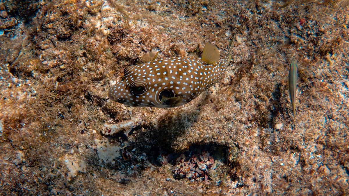
A Hawaiian spotted puffer fish camouflaging among the coral reef underwater

Hawaii Food Web: From Algae and Plankton to Apex Predators

Hawaii’s marine food web begins with microscopic phytoplankton in the water and algae growing on the seafloor. Herbivorous fish and invertebrates consume this primary production. Predatory fish, seabirds, turtles and sharks connect the higher levels, while microbes and detritivores return nutrients from waste and dead organisms. The web changes between shallow reefs and deeper mesophotic…
More

More in Water

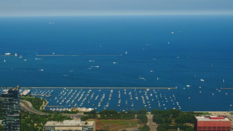
Aerial_view_of_lake_michigan_and_chicago

Lake Michigan Contour Map and Deepest Point

Lake Michigan’s contour map reveals a lakebed divided into broad shelves, deep basins and submerged ridges. The deepest recorded area lies in the Chippewa Basin, where NOAA describes depths greater than 275 metres. The U.S. Coast Pilot gives a maximum recorded depth of 923 feet, about 281 metres. NOAA’s Lake Michigan bathymetry provides the official…

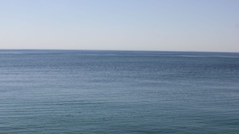
Tranquil view of Lake Ontario's serene blue waters and horizon, capturing peace and calm

Lake Ontario Depth Map and Deepest Point

Lake Ontario’s depth map shows a broad deep basin east of the lake’s center, with the lakebed descending beyond 240 metres in the Rochester Basin. The widely reported maximum is about 244 metres, or 802 feet. Shallow shelves border much of the shore before the bottom slopes into deeper offshore water. The most useful public…

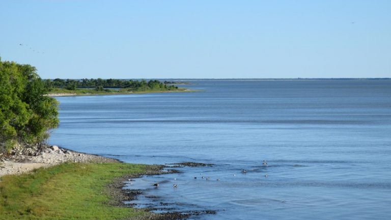
Broad_lake_and_grassy_shore_in_manitoba

Lake Winnipeg: Map, Size and Depth

Lake Winnipeg stretches north from Manitoba’s settled southern plain into the boreal region, creating a long freshwater corridor near the geographic center of Canada. On a map, its two broad basins are joined by a narrow central passage called the Narrows. Winnipeg lies south of the lake rather than on its shore. The Manitoba government…