
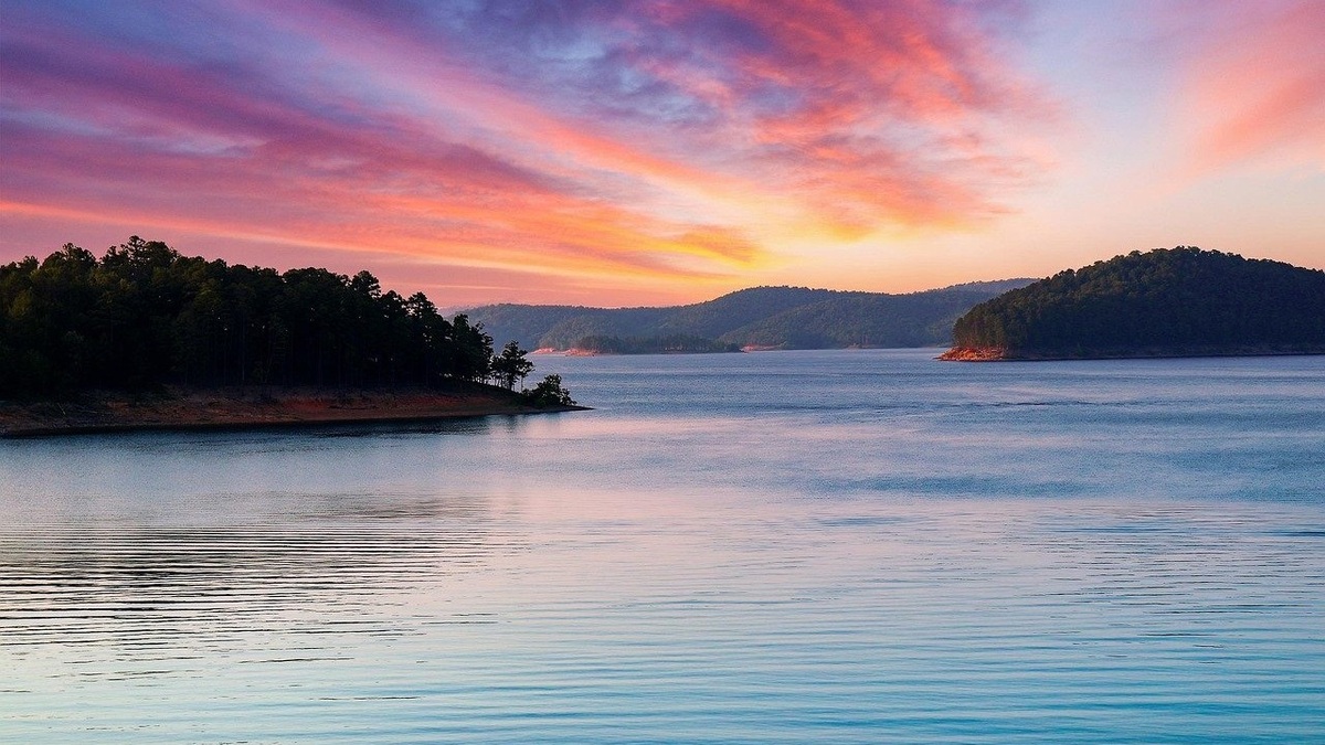
Broken Bow Lake is commonly identified as Oklahoma’s deepest lake, reaching roughly 180 feet near the dam when the reservoir is at its normal conservation pool. It is a human-made reservoir on the Mountain Fork River, not a natural lake and its actual water depth changes with pool elevation.
The figure can be derived from U.S. Army Corps of Engineers project elevations. The official project page describes the dam crest at elevation 645.09 feet and 225 feet above the streambed, placing the old channel near elevation 420 feet. The normal conservation pool is elevation 599.5 feet, a difference of about 179.5 feet.
Calling that value the lake’s depth requires two qualifications. It represents the vertical distance between a reference pool and the low streambed near the dam. It does not describe most of the reservoir and it decreases when the operating pool falls below 599.5 feet.
Broken Bow is a reservoir
The Corps built Broken Bow Dam for flood control, hydroelectric generation, water supply and recreation. Construction began in 1961, impoundment started in 1968 and the conservation pool filled in 1970.
Mountain Fork once flowed through a valley in the Ouachita Mountains. Impoundment flooded the channel and its tributary valleys, leaving a long, branching water body whose bottom retains much of the pre-dam terrain. The lake stretches about 22 miles upstream through steep country.
Reservoir depth follows the former valley. Water is generally deepest near the dam and old river channel. Covelike tributary arms become shallower toward their heads, while submerged ridges separate local basins.
How the 179.5-foot figure is calculated
The conservation pool is listed at elevation 599.5 feet. The dam crest stands at 645.09 feet and rises about 225 feet above streambed. Subtracting 225 from 645.09 gives an approximate streambed elevation of 420.09 feet.
Subtracting that bed estimate from the conservation pool gives 179.41 feet, which rounds to about 179.5 feet. The result is consistent with the figure commonly repeated for Broken Bow’s maximum depth, but the calculation relies on rounded project dimensions rather than a coordinate-specific modern sounding.
The Corps’ 2023 Broken Bow master plan lists the same 599.5-foot conservation elevation. It also reports 14,163 surface acres at that pool, noting that a later GIS measurement gives 14,151 acres. That note illustrates why mapped dimensions can differ by method.
Pool elevation changes the water depth
Reservoir operators track the elevation of the water surface. Rainfall and river inflow raise storage, while releases, evaporation and withdrawals lower it. Flood-control operations can place the surface above the conservation pool for a limited period.
If the pool is five feet below elevation 599.5, the maximum water column over the same bed is also about five feet smaller. If it rises into flood-control storage, the column becomes deeper. A single depth number without a pool elevation conceals this relationship.
Current lake level should come from the Corps rather than a static article. The Tulsa District provides a Broken Bow lake-level page with operational observations. Navigation still requires current charts and local hazard information.
The same relationship applies during floods. Argo’s explanation of how lakes flood shows why a temporary rise above conservation pool increases stored volume without changing the surveyed bed. Operators release that additional water according to project rules and downstream conditions.
The maximum is not the typical depth
Maximum depth samples the lowest point beneath a chosen water surface. Average depth divides volume by area. A boat traveling up an arm encounters a range of depths, so neither statistic guarantees clearance along a route.
Broken Bow’s steep basin preserves more deep water than Oklahoma’s broad lowland reservoirs. However, flooded timber, points and old road grades create abrupt local changes. Sonar may display a soft sediment surface above the original channel bed.
Bathymetric contours are more informative than one superlative. Closely spaced lines show steep underwater slopes. Widely spaced lines show shelves where a small drop in pool elevation can move the shoreline a long distance.
Why Oklahoma’s deepest lakes are human-made
Oklahoma’s major lakes were created by dams. The Oklahoma Geological Survey says the state’s natural lakes are limited to oxbows along large rivers and playas in the western High Plains. Those natural basins are shallow compared with flooded mountain valleys.
An official state geology overview places Broken Bow among the large reservoirs and separates them from natural oxbow and playa lakes. Argo’s article on Oklahoma’s largest lakes ranks surface area, which is a different metric from depth.
A wide reservoir can have enormous area without being the deepest. Lake Eufaula leads Oklahoma by surface area, while Broken Bow’s narrower mountain setting produces greater relief near its dam.
How Broken Bow compares with Tenkiller
Lake Tenkiller is another deep eastern Oklahoma reservoir and is often mentioned in informal answers to this question. Published figures vary depending on whether they describe maximum depth, depth at normal pool or water near the dam.
The defensible statewide answer favors Broken Bow because the Corps project elevations support a depth near 180 feet. Comparisons should use the same reference condition. A high-pool maximum from one lake cannot be compared fairly with an average or low-pool depth from another.
Source quality also matters. A marina page may repeat a round number without a datum. Project manuals and official elevation-capacity tables show what surface and bottom references produced the result.
Depth affects temperature and habitat
Deep water can separate into thermal layers during warm weather. Sun-heated surface water remains above colder, denser water, with a transition zone between them. Wind mixes the upper layer more readily than the deep basin.
Oxygen can decline below the transition when microbes consume organic material and surface mixing cannot replenish it quickly. Fish distribution therefore depends on temperature and dissolved oxygen together. Depth alone does not identify the best habitat.
Seasonal mixing can redistribute oxygen and nutrients. The process differs from the behavior of Oklahoma’s ephemeral playas, which may dry completely. Argo’s lake-versus-pond comparison explains why depth and mixing are more useful than name alone.
Water safety depends on more than depth
A deep reservoir can remain hazardous near shore. Sudden drop-offs, submerged objects and cold layers deserve attention, while steep terrain can make access difficult. Life jackets and designated recreation rules remain important even for experienced swimmers.
Dam infrastructure creates restricted areas. Boaters should obey buoys and closure notices, then check weather before departure. A lake depth map cannot forecast waves or show temporary construction zones.
Broken Bow’s approximate 180-foot maximum is a useful geographic fact. Safe decisions still require present pool elevation and location-specific information rather than the statewide ranking.
Survey products answer different questions
A project elevation table describes the dam and operating pools. A bathymetric chart maps underwater contours, while a sonar log records the return beneath one boat track. Each product can contain a valid depth that differs in scope.
Older soundings may predate decades of sediment deposition. The largest change is expected where tributaries deliver sediment or where a flooded channel widens and slows. The deepest bed near a dam may change less, but only a repeat survey can quantify the difference.
Map resolution also controls what is visible. A statewide lake layer outlines the reservoir but cannot locate a narrow submerged channel. A detailed contour map is better for interpreting basin shape, though it still cannot replace navigation information.
The dam dimensions set upper reference levels
The Corps lists the top of flood-control pool and spillway crest at elevation 627.5 feet. The maximum pool is 639.7 feet, below the 645.09-foot dam crest. Those engineering elevations describe storage and dam safety rather than ordinary recreation depth.
Normal conservation pool covers about 14,163 acres in the project table and stores approximately 913,370 acre-feet. The reservoir’s depth distribution creates that volume; multiplying maximum depth by area would greatly overstate it because most water is shallower.
Pool elevation must accompany any updated maximum. If a source reports depth during flood storage, it should not be presented as the normal-pool figure. The roughly 179.5-foot answer remains tied to elevation 599.5 feet.





