Oceans

RSS Feed

Ocean science news, explainers, and statistics covering marine environments, currents, climate, coasts, seafloor research, and the changing global ocean.

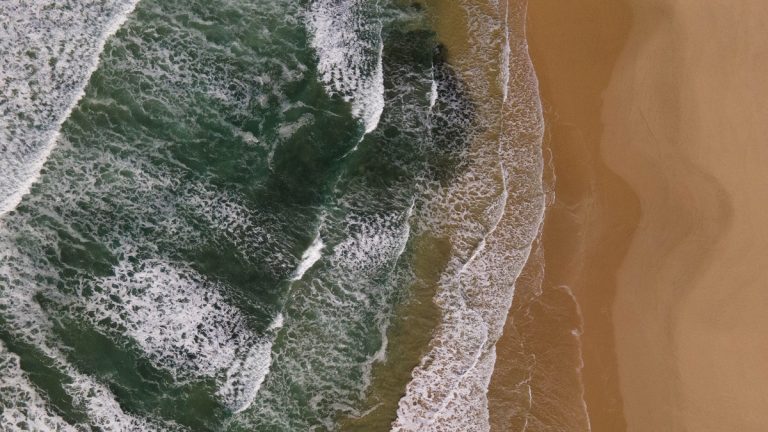
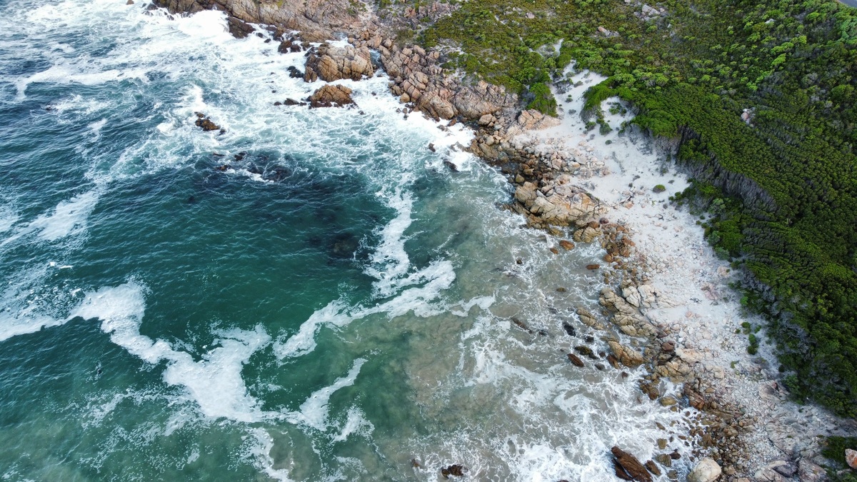
An aerial shot capturing the intricate patterns of ocean waves and foam from above

Marine Geography Explained: Ocean Basins, Coasts and the Seafloor

Marine geography studies the spatial arrangement of oceans, seas, coasts and seafloor features, along with the relationships connecting those places. It asks where a feature occurs, how it is distributed and how physical geography influences human activity or ecosystems. Maps are central because much of the subject lies beneath water. The field overlaps with oceanography…

More

More in Oceans

Scuba_diver_descending_into_deep_blue_ocean_water

How Deep Can a Human Go in the Ocean?

There is no single depth limit for a human in the ocean. A breath-hold diver exposes the body directly to increasing pressure, a scuba diver breathes gas at ambient pressure and a passenger inside a rigid submersible remains near one atmosphere. The answer therefore ranges from tens or hundreds of meters for exposed divers to…

NOAA global ocean bathymetry map showing the shape and depth of the seafloor

Ocean Floor Topography Explained

Ocean floor topography is the three-dimensional shape of the seabed. Scientists describe and measure that shape through bathymetry, the underwater counterpart of topographic mapping on land. An ocean-basin profile commonly begins with a shallow continental shelf, drops down a continental slope, crosses a continental rise or trench and continues over the deep basin toward ridges,…

Bathymetric map of the Cayman Trough

How Deep Is the Cayman Trench?

The Cayman Trench reaches approximately 25,216 feet, or 7,686 meters, below sea level. The Cayman Islands Department of Environment uses that figure for the deepest part of the Caribbean Sea. It is deep enough to place the trench floor more than 4.7 miles beneath the surface. Also called the Cayman Trough and historically the Bartlett…