
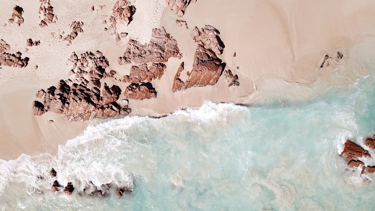
The neritic zone is ocean water over the continental shelf, from the low-tide edge to the shelf break. The oceanic zone begins beyond that break, where water overlies the continental slope and deep ocean basins. Distance from shore is only a rough clue because shelf width varies greatly.
NOAA’s discussion of the pelagic environment places open-ocean water beyond the shelf. The boundary is geological, but currents and mobile animals cross it continually.
The shelf gives neritic water a shallow foundation
Most shelves descend gently to roughly 200 meters before the seafloor steepens. Sunlight can reach much or all of the water column in clear areas and waves or tides may mix nutrients from the bottom.
Rivers deliver nutrients and sediment near land. Seasonal heating, storms and freshwater create strong changes in stratification. The combination makes shelf seas productive but variable.
Argo’s continental shelf article explains the submerged platform beneath neritic water.
Shelf water often exchanges with the open ocean through eddies, wind-driven transport and cross-shelf currents. The export carries larvae, nutrients and organic matter beyond the shelf break. Flow in the opposite direction can bring deep nutrients toward coastal ecosystems, so the geological boundary channels exchange rather than stopping it.
Salinity provides another contrast near land. River discharge creates buoyant coastal plumes that spread across neritic water and sometimes reach the shelf edge. Rainfall and evaporation dominate broad offshore patterns. Plume fronts concentrate particles and organisms, while strong storms can mix fresh surface water downward.
Oceanic water extends across deep basins
Beyond the shelf break, the bottom drops down the continental slope. The water column can be kilometers deep, with a sunlit surface separated from cold dark layers below.
Open-ocean surface water may be nutrient-poor where stable stratification prevents deep nutrients from rising. Upwelling, fronts and eddies create productive exceptions.
The oceanic zone covers far more area and volume, but production per square meter can be lower than on many shelves. Vast area still makes its carbon cycle globally important.
Observation systems reflect the different scales. Coastal radar maps surface currents across parts of the shelf, moorings resolve tides and research vessels sample the shelf break. Offshore floats and satellites cover enormous areas with less local detail. Combining them follows water as it crosses the named provinces.
Carbon burial differs across the boundary. Shelves receive large sediment inputs and can bury organic matter efficiently, yet storms and trawling resuspend it. Open-ocean particles descend farther and are consumed repeatedly before reaching the abyss. Measurements must separate high local burial from the much larger total area offshore.
Food webs reflect depth and nutrient supply
Neritic phytoplankton support zooplankton, forage fish and many fisheries. Benthic production can join the food web because the bottom lies relatively close to surface light and sinking food.
Oceanic food webs rely on small plankton adapted to scarce nutrients across broad subtropical gyres. Productive currents and equatorial upwelling support larger predators and fisheries.
Many seabirds, turtles and fish use both provinces during a life cycle. Spawning may occur on the shelf while adults forage beyond it.
A changing climate can move ecological patterns without moving the shelf break. Marine heat waves cross both zones, but shallow water often warms rapidly and loses oxygen near the bottom. Offshore species may shift toward the shelf, while coastal species track suitable temperature along it. The geographic labels stay fixed as communities reorganize.
Shelf-break upwelling can occur when winds or currents move surface water away and deeper water rises along the slope. The incoming water is often cold and nutrient rich. Phytoplankton blooms may form a narrow band visible from satellites, attracting fish and seabirds to the geological transition.
The shelf break concentrates physical change
Currents encounter a rapid change in bottom slope at the shelf edge. Tides can generate internal waves and fronts may gather plankton or drifting material.
Submarine canyons cut across the boundary and carry sediment downslope. They can also steer nutrient-rich water upward, creating local biological hotspots.
Shelf-break fronts move seasonally rather than following one fixed map line. Satellite color and temperature reveal their surface expression, while profilers measure the structure below.
Larval transport can decide whether shelf populations persist. Eggs released in neritic water may be swept offshore, retained by rotating eddies or returned by subsurface flow. Biologists combine plankton surveys with current models because straight-line distance from an adult habitat does not predict where offspring settle.
NOAA’s ocean-current tutorial explains the forces behind cross-shelf exchange. At a shelf break, tides and winds interact with sloping bottom topography, producing jets or internal waves. The resulting flow can concentrate plankton on one day and disperse it across the boundary on another.
Human pressures differ across the provinces
Neritic water receives runoff, dredging effects and intense coastal development. Fishing, shipping and offshore energy also concentrate on accessible shelves.
The oceanic zone is remote but not isolated. Plastics, underwater noise and climate-driven warming reach deep offshore water. Migratory animals carry exposure between regions.
Management boundaries rarely match ecological movement. Protecting a shelf nursery can fail if adults face heavy mortality offshore, while high-seas measures need coastal states to protect spawning habitat.
The shelf receives a disproportionate share of direct seabed disturbance. Dredging, cable routes and bottom-contact fishing affect shallow habitats that exchange nutrients with overlying neritic water. Offshore pressure becomes more dispersed, though shipping noise and drifting plastic cross the entire oceanic province.
A continental shelf is a geological feature with ecological consequences. NOAA’s continental-shelf explanation shows why its seaward edge differs from a political boundary. Coordinated management must follow migrating animals and moving water beyond the jurisdiction drawn on a chart.
Scientists define the boundary before comparing data
A charted shelf break supplies a reproducible geological boundary. Researchers may instead use depth, water mass or distance from shore when a study asks a different question, but the chosen rule should be explicit.
Neritic versus oceanic describes where water sits relative to the continental margin. It does not mean coastal water is always bright or open water always clear. Weather, circulation and biology create local exceptions.
Combining bathymetry with temperature, salinity, nutrients and species observations shows how the transition functions. The result is a dynamic interface rather than a wall in the sea.
Why the boundary looks different around each continent
A passive continental margin can have a shelf hundreds of kilometers wide, placing the oceanic zone far offshore. An active margin may have a narrow shelf beside a trench, bringing deep water close to land. The same distance from shore can therefore be neritic in one region and oceanic in another.
Sea level also shifts the shelf coastline through geological time. During glacial low stands, much of today’s shelf was exposed and rivers cut channels across it. Rising water flooded those landscapes. The modern shelf break largely retains its deeper geological position, while the landward edge of neritic water moved dramatically.
Nutrient ratios also change across the shelf break. Coastal inputs can supply nitrogen, phosphorus and silica in proportions that favor particular phytoplankton, while offshore recycling retains some nutrients more efficiently than others. Bottle incubations and nutrient profiles test which element limits growth on each side of the transition. Researchers repeat those measurements through the year because spring runoff, summer stratification and winter mixing can reverse the contrast. A single cruise may capture an event rather than the normal relationship between the provinces. Moorings help distinguish a brief pulse from a seasonal pattern by recording between ship visits. Satellite color supplies wider coverage, but field samples identify the organisms responsible.
The shelf edge that divides these waters is described in Argo’s guide to the continental shelf. A separate comparison explains pelagic water and benthic habitat.





