
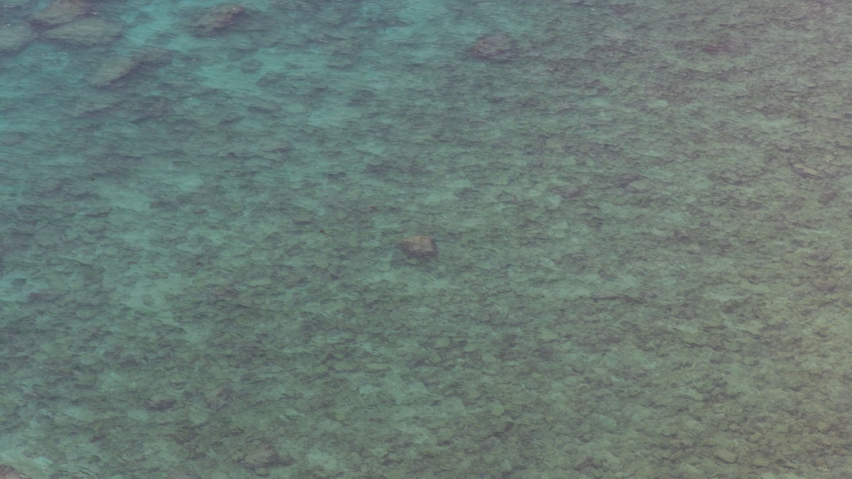
The continental shelf is the gently sloping seafloor that extends from the coast to the shelf break, where the bottom begins a steeper descent toward the deep ocean. Although submerged, it belongs geologically to the continent. Its shallow water, mobile sediment and close connection to land make the shelf one of the ocean’s most productive and heavily used regions.
Shelves differ dramatically in width. Some active continental margins have only a narrow strip of shallow seabed, while passive margins may carry a shelf hundreds of kilometers offshore. The USGS Ocean Glossary defines the shelf as the submarine extension of a landmass to the outer edge of the continental margin.
The shelf break commonly occurs near 200 meters of depth, though there is no fixed global contour. Local tectonics, sediment supply and past changes in sea level all influence its position. A shelf is therefore identified by its form and geologic setting rather than by one depth printed on a chart.
The USGS ocean program studies currents, habitats and geologic hazards across shelf areas. A complete shelf description consequently combines bathymetry with substrate and water movement. Equal-depth contours alone cannot show whether the seabed is mobile sand, exposed rock or reef habitat.
A drowned edge of the continent
Continental crust extends seaward beneath the shelf. It is generally thicker and less dense than the basaltic oceanic crust found farther out in the basin. Over millions of years, erosion removes rock from land and rivers deliver part of that material to the coast. Sand and mud spread across the shelf, covering much of the underlying bedrock.
Sea level repeatedly advanced and retreated across shelves during glacial cycles. At the last glacial maximum, global sea level stood more than 100 meters below its modern position. Large areas of today’s shelf were dry coastal plains. Rivers crossed the exposed ground and people or animals could occupy landscapes that are now underwater.
As ice sheets melted, rising water flooded those plains. Former river valleys became estuaries or buried channels. Sand ridges and relict shorelines remained on the seabed. Marine geologists use sonar and sediment cores to reconstruct that history, separating ancient features from bedforms created by modern currents.
Waves and currents keep shelf sediment moving
The inner shelf lies within reach of waves during ordinary conditions, so its sediment is frequently stirred. Farther offshore, only long-period storm waves may affect the bottom. Once grains are lifted, coastal currents can move them alongshore or toward deeper water. Fine mud tends to settle where current energy weakens.
Storms can reorganize a broad swath of the seabed in a few days. Sand may move offshore during high-energy conditions and return landward later. River floods deliver fresh sediment and organic matter. The shelf’s surface is therefore a working landscape, even where its overall slope looks smooth on a small-scale map.
Near the shelf break, tides and prevailing currents can create fronts where water masses meet. Wind-driven upwelling and downwelling alter the exchange between shallow water and the open ocean. Canyons may intercept sediment moving along the shelf and direct it down the continental slope.
Researchers map those pathways with current meters, sediment traps and repeat sonar surveys. Measurements reveal whether material stays near the coast, travels parallel to it or escapes into deep water. The answer affects coastal erosion, buried carbon and the delivery of contaminants from populated watersheds.
Shallow water supports rich ecosystems
Sunlight reaches the seafloor across the shallowest parts of many shelves. Seagrass, kelp and bottom-living algae can grow where water clarity and substrate allow. Phytoplankton in the water column also benefit from nutrients mixed upward or supplied from land. Their production feeds food webs that support commercially important fish.
Habitat changes across short distances. Sand flats favor burrowing animals, while rock outcrops provide attachment surfaces for corals, sponges and kelp. Shelf-edge reefs can rise into stronger currents that deliver food. Low-oxygen zones develop where circulation is weak and decomposition consumes oxygen faster than it is replaced.
Many fish use different parts of the shelf through their lives. Nursery areas may lie in estuaries or protected coastal habitats, while adults feed or spawn farther offshore. Protecting one patch without understanding those connections can leave a population vulnerable elsewhere.
The shelf break marks a major transition
The shelf break is the zone where the gentle platform rolls into the continental slope. It may appear as a sharp bend in a seismic profile or a broad change in gradient. Its depth often reflects the combined influence of crustal subsidence, sediment buildup and erosion during past low sea levels.
Water circulation changes near this boundary. Currents following depth contours can become concentrated along the edge and eddies can exchange water across it. Nutrients lifted from depth may enhance productivity near the break. At the same time, sediment crossing the edge can enter steeper terrain where gravity-driven transport becomes important.
Submarine canyons sometimes cut through the break and reach landward across the shelf. They connect shallow sources with deep depositional fans. Argo’s article on turbidity currents explains the dense bottom flows that can race through these channels.
Mapping the break also helps define the broader topography of the ocean floor. Shelf, slope and rise are adjacent provinces, yet each is recognized by its gradient, depth and dominant processes. Their boundaries rarely resemble straight lines.
Scientific and legal shelves use different rules
In geology, the shelf is a physical landform. Under the United Nations Convention on the Law of the Sea, “continental shelf” also refers to seabed rights with a legal definition. A state’s legal shelf includes the seabed and subsoil out to at least 200 nautical miles where maritime boundaries permit, even if the geomorphic shelf ends much closer to shore.
Some coastal states can establish an outer limit beyond 200 nautical miles by documenting features of their submerged continental margin. The process uses bathymetry, sediment thickness and the location of the foot of the continental slope. Those rules concern seabed jurisdiction and do not change the location of the natural shelf break.
Resource use makes clear definitions important. Shelves hold fisheries, cables and offshore energy infrastructure. They can also contain sand, gravel and other deposits. Scientific surveys help governments assess habitats and hazards before activities disturb the bottom.
The NOAA maritime-zones guide distinguishes jurisdictional zones from underwater terrain. Reading the map requires both ideas: geology explains how the seabed formed, while law identifies which rights a coastal state may exercise there.
Measurements reveal a changing shelf
Hydrographic surveys repeatedly measure depth where navigation requires current charts. Research programs add sediment sampling, water chemistry and biological observations. Together, these records can reveal migrating sand waves, erosion around infrastructure and shifts in habitat boundaries.
Seismic reflection profiles image layers beneath the seabed. Buried river valleys mark former low sea levels, while faults show tectonic deformation. Cores connect those acoustic patterns to real sediment and provide material for dating.
Shelf research must account for strong seasonality. River discharge, stratification and storm energy change through the year. A short survey offers a snapshot, so moorings and satellites help place ship observations within a longer pattern.
Satellite ocean color shows broad changes in surface productivity, while sea-surface temperature reveals fronts and upwelling. Clouds and the water surface limit what satellites can see below, so ship profiles remain necessary for depth, chemistry and bottom conditions.
A shelf model combines wind, tides, river flow and seabed friction. Scientists test it against current-meter records before using it to estimate transport between observations. Agreement at one season does not guarantee equal skill during an extreme storm.
Beyond the shelf break, the continental slope descends toward deeper basins. The shelf also forms the physical base of the neritic zone.





