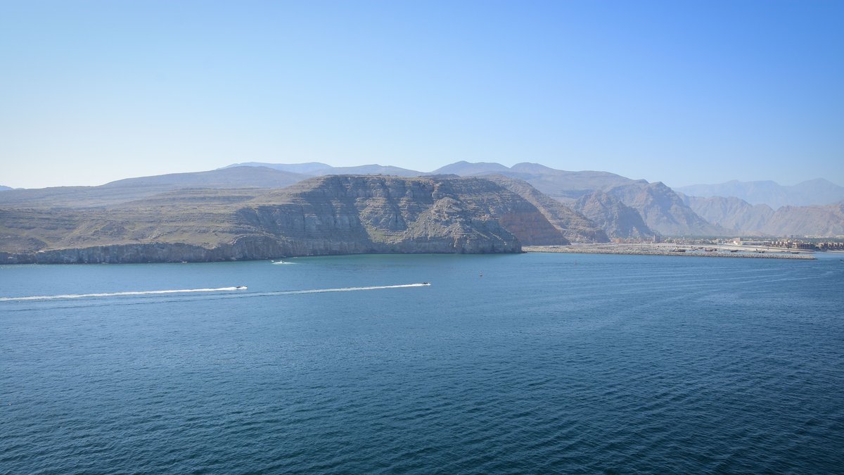
At the Strait of Hormuz, the hard limestone spine of the Musandam Peninsula meets a much larger geological turn. To the northwest, Arabia presses into Eurasia in the Zagros collision zone. To the southeast, seafloor from the Gulf of Oman descends beneath southern Iran along the Makran subduction system. The narrow sea passage lies beside the bend between those settings, a junction geologists call the Strait of Hormuz syntaxis. The visible mountains mark a transition that continues beneath the nearby seafloor.
Its shape was not carved by a single fault. The peninsula records a long history of plate motion that first buried the Arabian margin, then reworked it as the surrounding plate boundary changed. In a foundational 1979 study, Robert S. White and David A. Ross used seismic-reflection and gravity profiles to argue that a basement ridge beneath the strait may continue Musandam below the water. Modern field studies and seismic measurements have filled in parts of that picture, while leaving important underground details unresolved.
A bend between collision and subduction
Plate boundaries rarely follow a ruler-straight line. Near Hormuz, the north-moving Arabian plate encounters continental crust in the Zagros region, where the Arabian and Eurasian landmasses shorten and thicken. East of the bend, older oceanic crust in the Gulf of Oman continues beneath Iran. The switch from continental collision to ocean-continent subduction creates the unusual geometry around Musandam. It also means that a regional map must account for distinct kinds of crust meeting within a short distance.
White and Ross named a major boundary in this setting the Oman Line. Their marine profiles placed it north of the strait and distinguished the collision-related structures west of it from the subduction-related margin farther east. Their proposed buried ridge matters because it links the peninsula’s visible mountains to the concealed crust below a heavily sedimented channel. A gravity anomaly can reveal a contrast in rock density, while reflected seismic waves trace layered boundaries beneath the seafloor. Together, the measurements offered an early regional view of a place where direct observation is difficult.
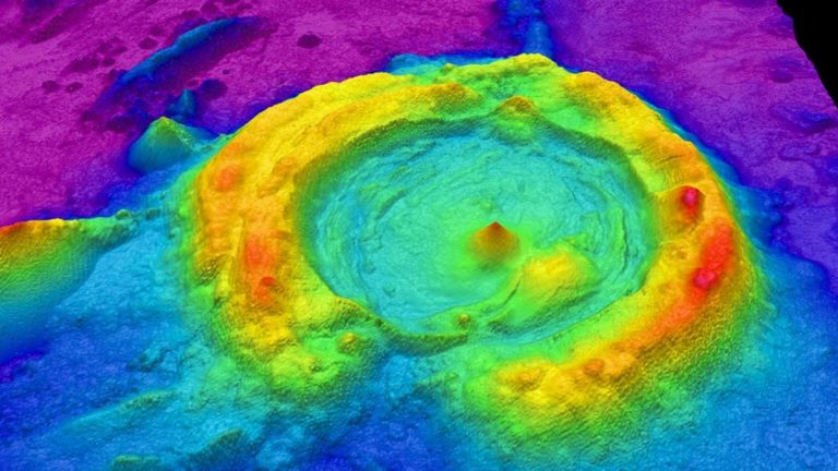
Geologists use the word syntaxis for a tight bend or knot where mountain belts change direction. Around the strait, structural trends swing from the north-south orientation common in Musandam toward the east-northeast to west-southwest trend seen across the water near Qeshm Island. The map therefore captures movement distributed through several fault zones and folds, rather than a clean corner in a single plate edge.
An ancient Arabian shelf becomes a mountain peninsula
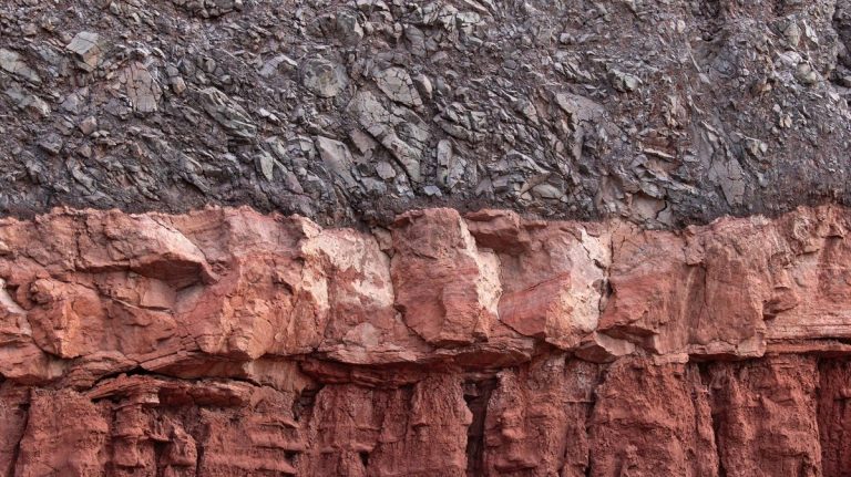
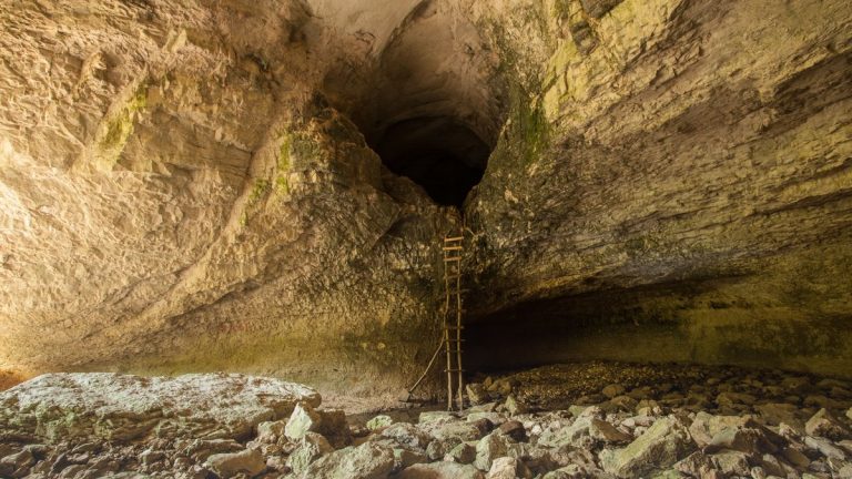
Before the mountains rose, the future peninsula sat on the edge of Arabia beneath shallow seas. Much of Musandam consists of thick carbonate layers, deposited when marine sediments accumulated on a broad continental shelf from the Permian through the Cretaceous. Carbonate rock forms when calcium-rich material settles or precipitates in seawater, which helps explain the massive pale beds exposed in the range. The cliffs and folded strata now visible on land provide the rock record that structural geologists can measure directly.
Musandam’s shelf rocks did not stay flat. During the Late Cretaceous, slices of deep-water sediment and oceanic material were pushed across the Arabian margin as the regional plate system changed. Researchers studying faults in northern Oman describe west-directed thrusting in Musandam and the nearby Dibba Zone between about 74 and 60 million years ago, based on U-Pb dating of minerals that grew while faults slipped.
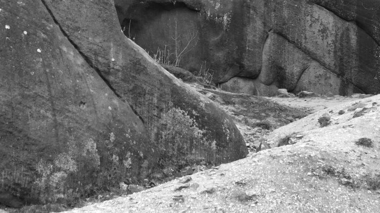
Musandam is built from ancient shelf rocks that deformation reshaped before erosion brought them to the surface. The preserved Musandam limestone contains folds and faults, while younger sediments around the range reveal later episodes of uplift. Geological ages do not turn the range into a frozen relic: they establish when particular structures formed, then help separate that history from deformation still occurring across the broader plate boundary.
Oceanic rocks left a deep structural imprint
A crucial earlier event involved the Semail ophiolite, a large package of former oceanic crust and upper mantle rocks exposed across Oman and the United Arab Emirates. During the Late Cretaceous, this material was carried onto the Arabian continental margin. Such emplacement is called obduction and it left an unusually strong imprint on the crust beneath the Oman Mountains.
Musandam sits at the northern reach of that mountain belt, close to the point where the margin changes character. The overlying ophiolite and thrust sheets forced continental rocks deeper into the crust, changing their thermal history. Carminati and colleagues found evidence that some major faults were reactivated around 13.2 million years ago, consistent with Musandam becoming involved in the later Arabia-Eurasia collision. Their dated calcite veins formed as mineral-rich fluids circulated through fractures, leaving a time stamp on fault movement.
Musandam preserves an ancient episode, while the plate boundary farther east continues beneath the Gulf of Oman. Obduction describes an ancient episode that placed ocean-derived rocks over Arabia. Continental shortening affects the Zagros side of the junction. Farther east, the Gulf of Oman system feeds the Makran accretionary prism, a deformed wedge that grows above descending oceanic crust as sediment is carried into the plate boundary.
Seismic waves test the hidden architecture
Field geologists can trace a fault where rock is exposed. Beneath the strait, seismic reflection can identify layered rock and buried faults. Gravity and magnetic data place limits on rock density and composition, while recordings of distant earthquakes probe deeper material. Each measurement responds to a different underground property, so agreement can strengthen an interpretation without making every buried structure visible.
A 2021 study used recordings from a focused seismic network to examine crust and mantle deformation beneath the UAE-Oman mountains and the southern Zagros. Its authors reported an approximately 90-degree change in the preferred orientation of fast seismic-wave directions from the Zagros toward the Oman mountain belt. Measurements of shear-wave splitting across northern Musandam also supported northeast-directed polarity in the older Oman subduction system.
Shear-wave measurements do not photograph a plate boundary. They reveal directional differences in minerals and rock fabrics that seismic waves cross at depth. Combined with rock studies and marine surveys, the results support a model in which the crust below Musandam retains the memory of more than one tectonic episode.
Why a geological bend still matters
Musandam’s tectonics matter because the strait is part of an active region where plate motion is still being absorbed. GPS studies place Arabia-Eurasia convergence near Hormuz in the range of a few centimeters per year, although estimates vary with the model and the exact location measured. A 2004 assessment reported local estimates between 23 and 35 millimeters per year. Some shortening becomes mountain-building in the Zagros, while other motion is transferred toward the Makran margin through a broad zone of faults and folds.
Research on the UAE foreland fold-and-thrust belt shows that deformation can be transferred between differently oriented structures around the northern Oman Mountains. The 2022 analysis describes thrust transfer zones that connect the northern Oman Mountains with the Zagros. The connection through thrust-transfer zones helps explain why a small peninsula occupies such an outsized place on tectonic maps.
Earthquake hazard cannot be read from a coastline alone. White and Ross associated collision and underthrusting beneath Iran with large regional earthquakes, while the adjacent Makran subduction zone has its own earthquake and tsunami history. The transfer-zone study found present-day deformation spread across a wide area in southeastern Iran, a reminder that the bend at Hormuz is best understood as a changing plate-boundary system rather than a single break in the ground.