
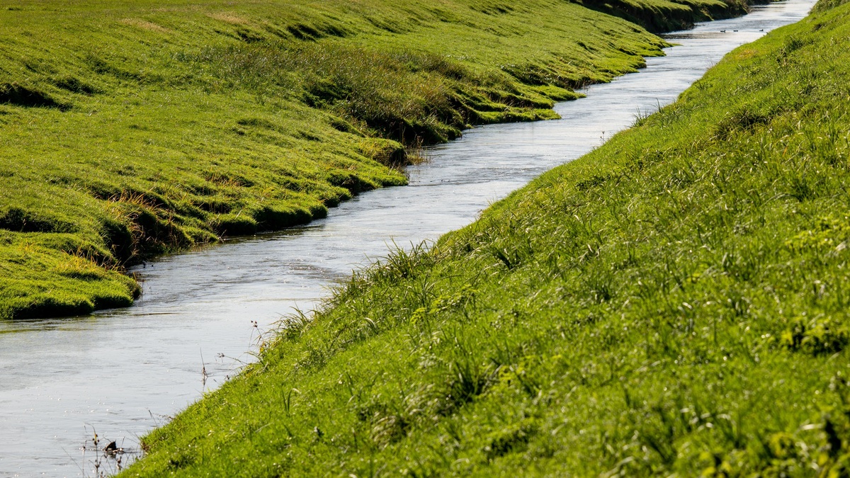
A gaining stream receives groundwater through its bed or banks, while a losing stream sends water downward into the surrounding aquifer. The direction is controlled mainly by the relative elevation of the stream surface and the local groundwater level. One river can gain in an upstream reach yet lose farther down. Seasonal water levels or pumping can reverse either exchange.
The exchange links two resources that are often discussed separately. Groundwater can sustain river flow between storms, while a losing reach can recharge an aquifer. Water quality also crosses the boundary, carrying dissolved minerals, nutrients or contaminants between the channel and the subsurface.
Hydraulic head controls the direction
Water moves from higher hydraulic head toward lower hydraulic head. If the water table beside a stream stands above the stream surface, groundwater flows toward the channel and the reach gains. If the water table lies below the stream, water seeps through the bed and the reach loses.
The USGS explanation of stream and groundwater exchange shows both arrangements. A losing stream may remain connected to the aquifer by saturated sediment, or an unsaturated zone may separate the channel from the regional water table.
Bed material affects the rate of exchange. Clean sand and gravel transmit water more readily than compact clay. Fine sediment or biological growth can clog pores along the bed, reducing leakage even when the difference in water level would otherwise drive strong flow.
Groundwater sustains flow in gaining reaches
Groundwater discharge supplies baseflow, the portion of streamflow that persists after direct runoff has faded. It helps explain why some rivers continue to flow through dry weather. Argo’s guide to baseflow in a river describes how slowly draining aquifers smooth the sharp variations produced by storms.
Gaining water often reflects the temperature of the shallow aquifer. In summer it may cool a stream, while in winter it can be warmer than surface water. Local groundwater inputs therefore create thermal refuges for fish and invertebrates when the main channel reaches stressful temperatures.
Springs are visible points of groundwater discharge, but much exchange is diffuse. Water can seep through broad areas of the bed without an obvious spring. Temperature sensors and chemical tracers help reveal these hidden inputs.
Losing reaches recharge the subsurface
In a losing reach, stream water moves into the bed and becomes groundwater recharge. The process is common where an alluvial channel crosses dry terrain or where a stream leaves a confined mountain valley and spreads across permeable sediment.
Some losing streams remain hydraulically connected to the regional aquifer. Others perch above a deeper water table, with unsaturated sediment in between. In the disconnected case, leakage can continue downward even though lowering the regional water table farther may have little immediate effect on the streambed seepage rate. A losing stream may shrink downstream without any diversion or evaporation large enough to explain the change. Flow measurements must account for tributaries, withdrawals and return flows before the remaining decrease can be attributed to seepage.
A river can gain and lose at the same time
Natural channels cross layers of sediment with different permeability and the water table does not maintain a constant height relative to the bed. One segment may receive groundwater while the next leaks into a gravel deposit. Even individual bends can contain short paths where stream water enters the bank and returns downstream through the hyporheic zone.
Seasonal recharge changes the pattern. A rising water table after snowmelt may convert a losing reach into a gaining one. During drought, groundwater levels can fall below the channel and reverse the exchange. Floodwater can also push temporarily into banks, then drain back as river stage declines.
This variability is one reason flow permanence cannot be inferred from a single observation. The distinctions among perennial, intermittent and ephemeral streams describe the duration of surface flow. Gaining and losing instead describe a direction of exchange at a particular reach and time.
How hydrologists identify gaining and losing water
A seepage run measures discharge at several points along a stream over a short period. After tributary inflows and known withdrawals are included, an unexplained increase suggests groundwater input and a decrease suggests loss. Measurements work best during stable weather, when rapid changes in runoff are unlikely to confuse the comparison.
Water-level wells placed beside a channel reveal the hydraulic gradient. On a contour map, groundwater-elevation lines tend to bend upstream around a gaining stream and downstream around a losing stream. Direct seepage meters can measure movement through the bed at selected points.
Temperature is another tracer because groundwater usually varies less over a day and year than surface water. Fiber-optic cables can map small temperature differences along long stream sections. Dissolved ions or stable isotopes may distinguish groundwater from recent rainfall when the sources have contrasting chemistry.
Pumping can reverse or weaken the connection
A well removes water from aquifer storage at first, then changes the surrounding flow field. Over time, some pumped water may be supplied by reduced groundwater discharge to a stream or increased leakage from the channel. The effect depends on distance, pumping rate and the aquifer’s ability to transmit water.
The USGS report on streamflow depletion by wells explains why the response can continue long after pumping begins. A well does not have to sit beside the bank to affect flow and recovery may lag after pumping stops.
Streamflow depletion becomes most visible during dry periods, when baseflow supplies much of the channel. A small reduction that is difficult to detect during a flood can represent a large share of late-summer flow.
Why the distinction matters for water management
Gaining reaches connect groundwater withdrawals to river habitat and downstream water rights. Losing reaches can carry river contaminants into aquifers used for drinking water. Managing either resource without the exchange can misstate both available supply and pollution risk.
Flow records add context but do not identify the mechanism by themselves. Argo’s overview of stage and discharge measurements explains how gauges track changes at a station. Seepage studies can isolate groundwater exchange, while wells and tracers provide independent evidence.
The most accurate description names the reach and measurement time, then identifies the evidence. “Gaining river” can be misleading when conditions vary downstream or across seasons. “This reach gained groundwater during the September measurement” preserves the scale of the observation and the dynamic character of the connection.
Water chemistry reveals the direction of exchange
Groundwater often contains more dissolved minerals because it has remained in contact with soil and rock. A sudden downstream increase in specific conductance can point to groundwater discharge when no tributary enters. The signal needs confirmation because wastewater or road salt can produce a similar change. An unseen drain is another possible source.
Stable isotopes of hydrogen and oxygen can distinguish recently evaporated surface water from groundwater recharged under different conditions. Radon is useful in some studies because groundwater can carry much higher concentrations than open river water. Researchers combine tracers with discharge and head measurements so that one ambiguous indicator does not control the conclusion.
Exchange also changes stream temperature and oxygen. A cool patch might mark a spring, yet shade can produce the same pattern. Mapping several properties through time is more reliable than labeling a reach from one afternoon of thermal imagery.
An EPA issue paper describes groundwater and surface water as one connected resource because contamination and water removal can cross the boundary. A leaking channel can deliver polluted surface water to an aquifer, while contaminated groundwater can discharge into a gaining reach long after the original release on land.
Travel time affects management. Water entering a sandy bank may return to the stream within hours, whereas flow through a regional aquifer can take years. Identifying the pathway helps determine whether a rapid response or long-term source control is likely to improve river conditions.





