
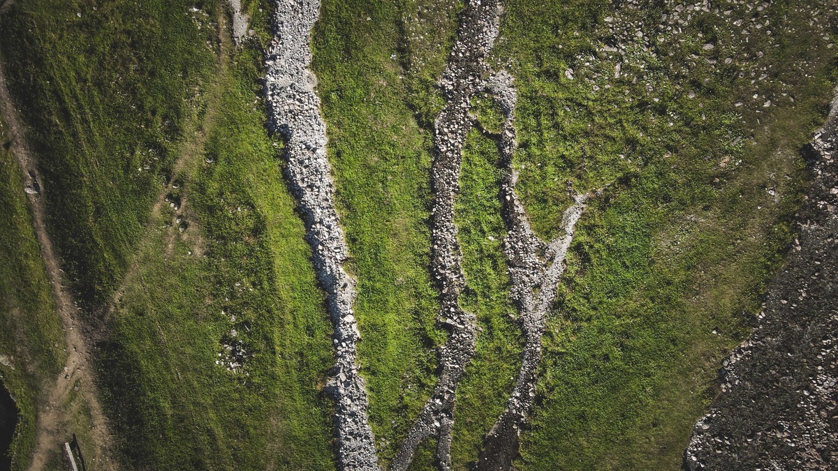
Perennial streams carry flowing surface water continuously during a year of normal rainfall. Intermittent streams sustain flow for only part of the year, often during a wet season or snowmelt. Ephemeral streams flow only in direct response to precipitation, with a bed that remains above the water table under the classification used by the U.S. Environmental Protection Agency and U.S. Army Corps of Engineers for regional assessment methods.
The labels describe streamflow duration rather than river size or ecological importance. A small spring-fed channel can be perennial, while a broad desert wash may remain dry until a storm sends water through it.
Perennial streams flow through normal years
A perennial reach contains flowing water throughout a normal-rainfall year. Groundwater commonly supplies its baseflow. Runoff raises flow during storms, while melting snow can provide a longer seasonal increase. The definition allows unusual drought to interrupt a channel that is normally perennial.
Flowing water can persist because the channel intersects the water table for much of the year. Springs may add another dependable source. Reservoir releases and wastewater discharges can also create continuous flow, so year-round water does not by itself reveal a natural groundwater connection.
The word applies at the reach scale. A river may be perennial in one section before disappearing into permeable sediment. Flow can resume farther downstream. Maps that assign one class to an entire named stream can conceal this local variation.
Intermittent streams have a sustained season
An intermittent reach carries flowing water for part of the year rather than only for a few hours after rain. Its wet period may occur when the water table rises into the channel or when snowmelt supplies sustained runoff. Storms can still produce brief surges on top of that seasonal flow.
The dry phase does not necessarily mean all water has vanished. Pools can remain where the bed is deep enough and saturated sediment may persist beneath the surface. Those refuges can support aquatic organisms until connected flow returns.
Timing varies by climate. A mountain stream may flow through spring melt and dry later in summer. A Mediterranean-climate channel can run during winter rains. In some regions, prolonged drought shortens the flowing season enough to change the reach’s observed behavior.
Intermittency creates a moving boundary between aquatic and terrestrial habitat. Some organisms survive through drought-resistant eggs, while others move into refuges. Life cycles can also synchronize with wet periods. Those adaptations differ among regions and cannot be inferred from the label alone.
Ephemeral streams respond directly to storms
Under the EPA’s regional SDAM definitions, an ephemeral reach flows only during or shortly after precipitation. Its streambed is above the water table, making stormwater runoff the primary source. Dry channels can remain recognizable through their banks, deposited sediment and evidence of concentrated flow.
Water can arrive abruptly in steep terrain or an arid watershed. Rain falling upstream may create a flood where little or no rain is visible locally. A USGS study of ephemeral channels in Arizona used streambed temperature loggers to determine flow frequency and duration, illustrating why event monitoring needs more than a single field visit. Entering a dry wash during storm conditions is dangerous because the absence of water at that moment does not prove the channel will remain dry.
Ephemeral channels transfer water and sediment through a watershed. They can recharge groundwater where flow infiltrates a permeable bed and can connect uplands with downstream rivers during events. Their ecological function continues between floods through soils and riparian vegetation influenced by the channel.
A single visit may give the wrong impression
Seeing water once does not establish a perennial stream and finding a dry bed once does not establish an ephemeral one. A recent storm can make any class flow. Drought can leave an ordinarily perennial reach dry, while a dam release can temporarily wet a channel.
Direct classification from continuous records can require years of data. The EPA developed Streamflow Duration Assessment Methods, or SDAMs, as faster reach-scale tools. They combine observable hydrologic evidence with channel form and biological indicators, using region-specific methods because evidence behaves differently across climates.
The methods can return intermediate outcomes when confidence is limited. EPA recognizes “less than perennial,” “at least intermittent” and “needs more information” outcomes in addition to the three familiar classes. Those categories prevent weak evidence from being forced into an unjustified label.
Regional performance results cited by EPA show strong ability to distinguish ephemeral reaches from intermittent or perennial ones in tested regions, with percentage accuracies in the 80s and 90s. The figures describe validation of particular regional tools, not perfect classification everywhere.
Maps and legal terms need context
A dashed blue line on a topographic map does not guarantee a field classification under the latest method. Map symbols can be based on older observations or remote interpretation and the flow class can vary along the mapped feature. Field evidence should be assessed at the intended reach.
Definitions also differ among scientific programs and laws. The EPA page explicitly notes that multiple regulatory and scientific definitions exist. A streamflow-duration class does not, by itself, settle whether a water is subject to a particular law; jurisdiction depends on the applicable rule and facts.
Managers use the class when setting restoration targets or choosing water-quality standards. Survey design also depends on when water is likely to be present. A perennial reference condition would be inappropriate for a naturally ephemeral channel. Conversely, treating every dry observation as natural could overlook groundwater withdrawal or channel alteration.
Flow duration connects surface water with groundwater
Perennial behavior often reflects a dependable groundwater contribution, the process described in Argo’s guide to watersheds and connected waters. Intermittent behavior may track a seasonally rising water table. Ephemeral flow is dominated by direct precipitation response under the regional definition.
Actual river records can be checked through official streamgage links, although many small channels have no gage. Stage data show when water is present at a station; classification needs enough temporal evidence to represent normal conditions.
Flow duration is a continuum expressed through practical classes. Weather and groundwater levels move the observed boundary through time, while reach-scale geology moves it through space. Careful classification keeps those sources of variation visible instead of treating every blue line as the same kind of stream.
Channel evidence persists after the water recedes
Field assessors look for features produced by repeated flow rather than one wet or dry snapshot. A defined bed and bank can show that a channel conveys flow. Sediment sorting or organic debris placed by moving water adds evidence. The EPA Pacific Northwest field method documents reach selection, observed hydrology and regional indicators. Each indicator has limits because wind or livestock can imitate parts of the pattern, as can land disturbance.
Biological evidence may include aquatic organisms whose life histories require a minimum duration of flow. Algae or plant distributions can add information. Assessors use a group of indicators because one organism can be transported from upstream and one patch of vegetation can reflect a local spring.
Regional calibration is essential. Evidence developed in a forested mountain basin does not transfer automatically to a desert wash. EPA supplies separate SDAMs for major regions and provides a web application that directs users to the relevant method.
Climate change can alter observed duration
Warmer conditions can change snow accumulation and the timing of melt, moving the season when some intermittent streams flow. Greater evaporative demand can shorten wet periods even where annual precipitation changes little. More intense rain may create stronger episodic flows without establishing sustained flow.
A reach should not be reclassified from one unusual year alone. Long records and the applicable definition of normal rainfall are needed to separate variability from a durable transition. Classification records should include their date because the hydrologic regime can change.
Human activity can produce similar changes. Groundwater pumping may reduce perennial baseflow, while an imported-water release may prolong flow in an otherwise seasonal channel. Source information prevents the visible duration from being mistaken for an unchanged natural regime.





