
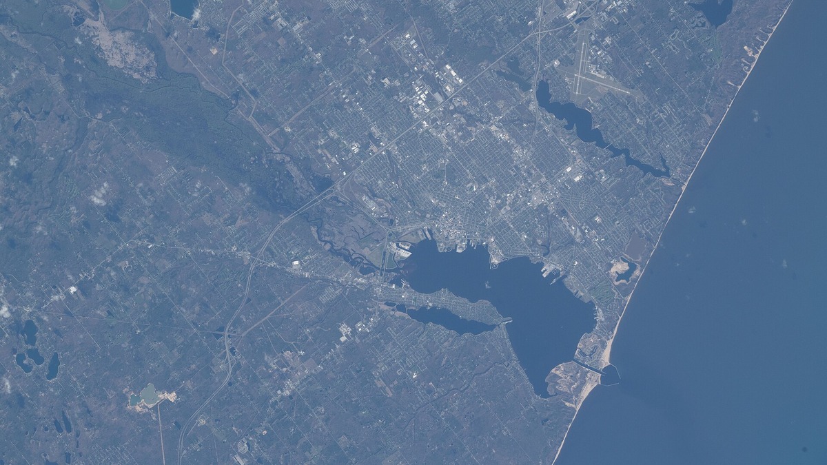
The Lake Michigan watershed is all the land where surface water drains toward Lake Michigan through streams, rivers, wetlands or direct runoff. It reaches into Michigan, Wisconsin, Indiana and Illinois. Its boundary follows high ground between neighboring drainage systems, so it does not match state or county lines and includes much more than the immediate shoreline.
The watershed’s land drainage area is about 45,000 square miles. An EPA Lake Michigan plan describes more than 45,000 square miles of land draining from four states, while the International Joint Commission reports 45,600 square miles. Lake Michigan’s own water surface covers about 22,300 square miles. Adding those two figures or calling one the other creates a misleading basin measurement. A watershed is the contributing land; the lake surface is the receiving water body.
How a watershed boundary works
Rain or melting snow on one side of a ridge may enter a Lake Michigan tributary, while water falling a short distance away can begin a route toward Lake Superior, Lake Huron or the Mississippi River. The dividing line is a drainage divide. It bends through farm fields, forests and cities without regard to political borders.
Large watersheds contain smaller ones. The Grand River watershed in Michigan and the Fox-Wolf system in Wisconsin each contain many tributary basins, which in turn contain creeks and neighborhood drainage areas. Water managers use this nested structure to trace a pollution source or plan restoration at a scale where action is practical.
Groundwater complicates the simple map. Much groundwater follows regional gradients toward streams and the lake, but underground divides do not always coincide exactly with surface topography. The everyday term “Lake Michigan watershed” generally refers to the mapped surface drainage basin unless a source explicitly includes a groundwater contributing area.
Four states share the basin
Most of the watershed lies in Michigan and Wisconsin. The eastern half includes much of Michigan’s Lower Peninsula and part of the eastern Upper Peninsula. Michigan EGLE notes that nearly half of Michigan’s land area drains to Lake Michigan.
Wisconsin contributes the western drainage through the Fox-Wolf, Menominee, Milwaukee and many smaller river systems. Indiana’s northwest and north-central areas reach the lake by routes including the St. Joseph River, Trail Creek and waterways of the Calumet region. A state Indiana basin assessment mapped about 489 square miles drained directly by streams to Indiana’s portion of Lake Michigan.
Illinois has a small Lake Michigan watershed around its northeastern shore. Reversal of the Chicago River redirected much of the urban area toward the Illinois and Mississippi system. The Illinois EPA reports a Lake Michigan watershed of about 100 square miles under its hydrologically modified definition. Numbers from older or local plans may differ because they delineate the boundary at another scale.
Major rivers entering from Michigan
The Grand River drains the largest watershed wholly within Michigan before reaching the lake at Grand Haven. Its network crosses farm country and cities including Jackson, Lansing and Grand Rapids. The Muskegon, Manistee, Pere Marquette and Kalamazoo rivers also carry water west from the Lower Peninsula.
The St. Joseph River begins in southern Michigan, loops through northern Indiana and returns to Lake Michigan at St. Joseph. Its interstate path illustrates why water quality cannot be managed by one jurisdiction. EPA’s Kalamazoo River overview describes a 175-mile river with a watershed exceeding 2,000 square miles and a history of PCB contamination from paper manufacturing.
Upper Peninsula tributaries include the Manistique, Escanaba and Ford rivers. The Menominee forms part of the Michigan-Wisconsin border before entering Green Bay. Shorter coastal streams may drain far less land than the major rivers, yet their mouths and wetlands can be important fish and bird habitat.
Wisconsin’s Fox-Wolf and coastal rivers
The Fox-Wolf system drains a broad part of eastern Wisconsin into Green Bay. Water moves through the Wolf River and Lake Winnebago before the Lower Fox reaches the bay. Agricultural runoff, urban discharges and legacy industrial contamination within this system can affect one of Lake Michigan’s largest embayments.
The Menominee, Peshtigo and Oconto rivers enter Green Bay from the north and west. Farther south, the Manitowoc, Sheboygan and Milwaukee rivers flow directly to the lake. Each major system contains tributaries with distinct geology and land use, so “Lake Michigan water quality” is the combined result of many local watersheds.
EPA’s Lake Michigan Mass Balance work sampled 11 tributaries that represented more than 90 percent of river flow into the lake during the study. Its tributary data report included the Menominee, Fox, Sheboygan and Milwaukee in Wisconsin and several Michigan rivers. Such monitoring estimates the amount, or load, of a chemical delivered over time rather than relying only on its concentration in one bottle.
Where Lake Michigan’s water goes
Lake Michigan and Lake Huron meet through the broad, deep Straits of Mackinac and stand at essentially the same water level. Hydrologists often treat them as one connected system even though geographic convention gives them separate names. Argo’s account of how the Great Lakes are connected follows the route onward through the St. Clair and Detroit rivers, Lake Erie, Lake Ontario and the St. Lawrence River.
Water remains in Lake Michigan for many decades on average, so persistent pollutants can circulate long after release. Wind drives currents within the lake and seasonal mixing redistributes heat and dissolved substances. The amount stored in the basin is described separately in how much water Lake Michigan holds.
The Chicago Sanitary and Ship Canal creates an engineered outflow toward the Mississippi basin. Diversion is regulated because it transfers Great Lakes water across the natural divide. The canal also forms a potential route for aquatic invasive species, demonstrating how infrastructure can connect watersheds that geography had separated.
How land use reaches the lake
Water picks up material as it crosses the landscape. Farm fields can contribute soil, phosphorus and nitrogen, especially where bare ground, frozen soil or intense rain limits infiltration. Urban pavement speeds runoff and carries oil residues, metals, road salt and litter into storm drains. Construction sites can release large sediment loads unless controls remain in place.
Point sources enter through an identifiable pipe or facility and are regulated through discharge permits. Nonpoint pollution comes from diffuse land runoff, so reducing it often requires many changes across a watershed. Buffer strips, cover crops, restored wetlands and stormwater infiltration address different pathways. Their effectiveness must be measured under actual weather and soil conditions.
Septic systems and wastewater plants can add nutrients or microbes when they fail or overflow. Combined sewers may discharge during heavy rain in older cities. Industrial contaminants deposited decades ago can remain in river sediment. Cleaning a hot spot reduces one source, while preventing new inputs protects the investment.
Habitats connect land and open water
Tributary mouths, drowned river valleys and coastal wetlands are transition zones between the watershed and lake. They slow water, store floods and offer complex habitat. Many Lake Michigan fish may spawn in a river, grow in a wetland and spend adulthood offshore. Bird migration along Indiana Dunes shows the same connection between coast and continental landscape.
Rocks and sediment carried by ice and rivers help define the shore. Readers can explore the physical evidence in rocks around Lake Michigan. Fine sediment is also a stressor when excessive erosion covers spawning gravel or clouds shallow water.
Development, shoreline armoring and invasive species have reduced or degraded many transition habitats. Great Lakes habitat loss examines the historical decline of coastal wetlands and current restoration. Watershed planning supports that work by addressing upstream causes rather than repairing the shoreline repeatedly.
Shared water requires coordinated management
The 1972 Great Lakes Water Quality Agreement provides a binational framework for the United States and Canada, even though Lake Michigan itself lies entirely within the United States. Lakewide Action and Management Plans identify priorities and coordinate agencies, Tribes, states and local partners. EPA’s LAMP program treats each lake as an ecosystem influenced by its tributaries and connecting waters.
Local watershed groups work at a finer scale by monitoring streams, restoring banks and helping landowners adopt runoff controls. States set water-quality standards and administer permits. Tribal nations exercise sovereign authority and treaty rights. Municipalities manage drinking water, wastewater and stormwater infrastructure.
Data must match the question. Stream gauges measure flow at specific points, chemistry samples reveal concentration and biological surveys show how organisms respond over time. Multiplying concentration by flow helps estimate pollutant loads delivered to the lake. Remote sensing maps land cover but cannot replace field measurements of groundwater or small streams.
A boundary with practical consequences
The watershed concept answers a practical question: where can rain fall and eventually carry something into Lake Michigan? Across roughly 45,000 square miles of land in four states, the routes range from a curbside drain to the Grand or Fox-Wolf river systems. The lake’s separate surface area is roughly half as large and neither figure should be presented as the other.
Living within the basin makes everyday land decisions part of lake management. Soil retained on a field, salt kept out of a storm drain and a wetland left connected all change what travels downstream. The watershed boundary may be invisible on the ground, but it provides the clearest map for tracing those accumulated effects to Lake Michigan.
Wildlife within the watershed
Continue with animals found in Lake Michigan.





