
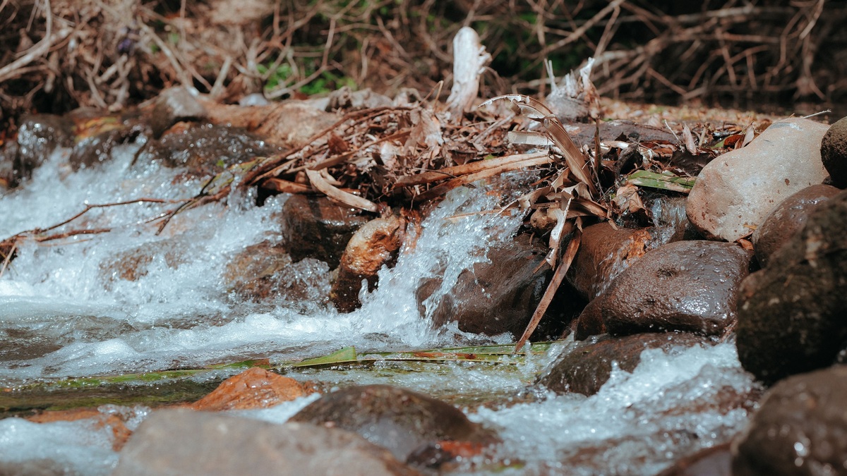
Baseflow is the relatively sustained part of streamflow supplied between storms, commonly by groundwater discharging into the channel. It keeps many rivers and creeks flowing after surface runoff has faded. Slow landscape drainage can also contribute. Wetlands and prolonged snowmelt add sustained water in some basins, so baseflow should not be treated as a perfect synonym for groundwater everywhere.
A hydrograph often shows baseflow as the broad, slowly changing background beneath sharper peaks caused by rain or snowmelt. Its size and persistence depend on geology, climate, water use and the hydraulic connection between the aquifer and stream.
Groundwater can feed a stream from below
Rain or melting snow can infiltrate soil and enter permeable rock, eventually raising the water table. Where that water table stands above the stream surface, groundwater moves through the bed into the channel. Some water enters through the banks. The USGS calls this a gaining stream and the groundwater contribution is baseflow.
The route underground is slower than surface runoff. Water can remain in pores and fractures long after the storm that supplied it, then move down a hydraulic gradient toward a channel. This delayed release smooths the river’s response and can sustain flow through a dry spell.
Losing streams work in the other direction, allowing river water to seep into the aquifer when the water table is below the channel. A river may gain in one reach and lose in another. Pumping can lower nearby groundwater levels enough to reduce a former gain or reverse it.
Baseflow appears beneath storm peaks
A stream hydrograph plots discharge through time. Direct runoff produces a steep rise after precipitation reaches the channel, followed by a recession as hillslopes drain. Baseflow changes more gradually and remains after the recognizable storm pulse ends.
The separation is conceptual because water sources mix in the channel. Some subsurface storm water reaches a stream quickly through shallow soil, while older groundwater may respond to pressure changes without traveling the full distance during the event. A smooth line drawn beneath a flood peak is therefore an estimate rather than a chemically pure sample of groundwater.
Hydrologists compare the baseflow component with total streamflow using the baseflow index. An index near one indicates that slow sources account for a large share over the chosen period. Its value depends on record length and method, with watershed conditions adding further variation. Those choices must be documented.
USGS software includes several hydrograph-separation methods, including HYSEP, PART and Base-Flow Index approaches. Different algorithms can produce different answers from the same flow record because they use different rules to identify the slow component.
Geology controls how long flow persists
An aquifer with substantial storage can release water gradually, producing a stable dry-weather flow. Fractured rock may transmit water rapidly through preferred paths but store less. Thick, permeable sediments often support a different recession pattern from a thin soil over nearly impermeable bedrock.
Watershed shape and channel incision influence where groundwater meets a stream. Vegetation also returns soil water to the atmosphere through evapotranspiration. During the growing season, that loss can lower water tables and reduce discharge even without a change in pumping.
Climate sets the timing of recharge. A humid basin may receive replenishment across much of the year, while a seasonal climate concentrates recharge into a wet period or snowmelt. Frozen ground can block infiltration. Rain intensity controls how quickly water arrives, while drought depletes soil moisture before deeper recharge begins.
Human withdrawals can lower baseflow. A well captures groundwater that might otherwise have reached the channel, although the timing and size of depletion depend on its distance from the river and the aquifer’s properties. Reservoir operations and wastewater returns can add sustained flow that resembles a natural background on a graph but has a different source.
Why baseflow matters to rivers
Baseflow supplies aquatic habitat when direct runoff is absent. Its temperature and chemistry often differ from recent rainwater because it has traveled through soil and rock. Groundwater inflow can keep a reach cooler in summer, yet a particular aquifer may also deliver dissolved minerals or contaminants.
Low baseflow can concentrate pollutants by providing less water for dilution. It can also shrink connected habitat into isolated pools. Ecological consequences vary by species and season, while water temperature adds a separate constraint beyond discharge.
Water managers use baseflow estimates in drought assessment, water budgets and evaluations of groundwater development. Argo’s guide to current river levels helps readers locate live observations, but a single day’s reading cannot establish the long-term baseflow contribution. A record covering seasons and flow conditions is needed.
Baseflow and recharge measure different processes
Groundwater recharge is water entering an aquifer. Baseflow is water leaving groundwater storage for a stream, along with any slow components included by the chosen definition. Recharge may later be removed by pumping or evapotranspiration. Some exits occur through springs outside the measured basin and some groundwater passes beneath a gage without entering the channel.
Over a long period, analysts sometimes use baseflow as a proxy for recharge when changes in aquifer storage and other losses are small. The USGS method comparison warns that baseflow is not recharge and may represent less than the amount entering the aquifer.
A field measurement also cannot isolate baseflow merely because no rain fell that day. The stream may still carry delayed storm water or regulated releases. Reliable interpretation uses precipitation records beside the streamflow history, supported by knowledge of the groundwater system.
Reading the dry-weather signal
Look for the slowly receding discharge between distinct storm peaks rather than using river height by itself. Stage and discharge have a site-specific relationship, while Argo’s watershed overview shows how connected land and water frame the record. Long records reveal seasonal lows and show whether dry periods are becoming more severe.
The strongest conclusion is usually comparative: how the estimated baseflow share changes through time under one consistent method, or how it differs among similarly analyzed basins. Absolute source attribution remains uncertain without tracers or a detailed groundwater model. Baseflow is a measured river signal interpreted through hydrology, not a separate pipe whose contribution can always be observed directly.
Field chemistry can clarify the source
Groundwater often spends enough time in contact with rock to acquire a stable dissolved-ion signature. Recent rainfall may be less mineralized. Temperature measurements can therefore help identify changing source contributions, especially when paired with specific conductance across both storms and dry periods.
Environmental tracers offer stronger evidence in research settings. Stable isotopes or dissolved gases may separate younger water from older groundwater, although mixing and chemical reactions complicate interpretation. A tracer result represents the sampled reach and period rather than every location in the basin.
No single indicator proves baseflow. A cold inflow can be groundwater, but shaded tributary water may also be cool. Investigators combine flow records with wells, seepage measurements and watershed geology to test a source explanation.
Drought can expose long-term change
During a short dry spell, stored groundwater continues draining toward many streams. A multiyear drought can reduce recharge, lower the water table and diminish that support. The decline may lag behind the first rainfall deficit because aquifer storage buffers the response.
Long records help distinguish a seasonal low from a persistent shift. Analysts compare similar parts of the year and account for withdrawals or land-use changes. A lower dry-weather flow has several possible causes, so precipitation alone cannot explain every trend.
Reduced baseflow can also alter water quality. Less groundwater may warm a formerly cool reach, while a larger groundwater share can increase the concentration of naturally dissolved minerals. Monitoring flow beside chemistry keeps those mechanisms separate from a generic claim that more baseflow is always better.
Groundwater beside river channels is explored further in Argo’s guide to alluvial aquifers beneath river valleys.
Baseflow depends on the hydraulic relationship between a channel and its aquifer. A gaining stream receives groundwater, while a losing stream sends water underground. Sustained pumping can alter that exchange, as described in the overview of groundwater depletion.





