Explainer

RSS Feed
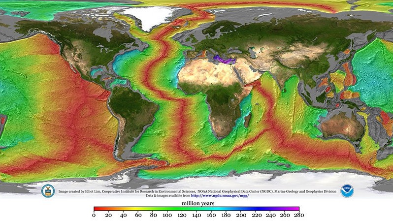
NOAA global map showing the continuous mid-ocean ridge system

Seafloor spreading builds Earth’s vastest mountain chain

Nearly 65,000 kilometers of underwater mountains trace the places where Earth’s plates pull apart. Along this global ridge system, seafloor spreading steadily adds fresh oceanic crust. The process is slow on a human clock, yet it has helped reshape ocean basins for millions of years. At a mid-ocean ridge, two tectonic plates move away from…

More

More in Explainer

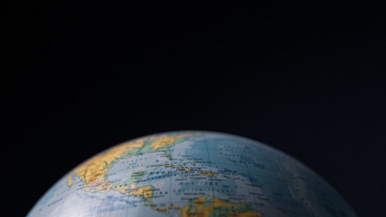
Globe centered on Central America between the Atlantic and Pacific oceans

11 countries with coasts on both the Atlantic and Pacific oceans

The International Hydrographic Organization maintains a standard for naming and dividing oceans and seas. That standard helps explain why 11 countries can be counted as having Atlantic and Pacific coasts. The answer includes shorelines on Atlantic-connected seas such as the Caribbean, Gulf of Mexico, Baltic Sea and Black Sea. Geography makes the count less obvious…

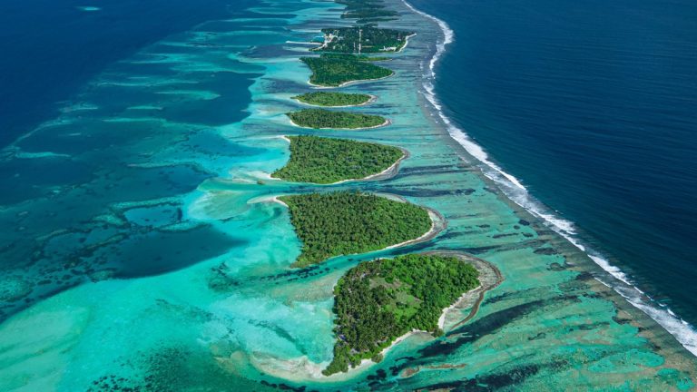
Aerial view of a Maldives atoll in the warm Indian Ocean

Why the Indian Ocean is the warmest ocean

Sunlight warms the ocean surface most strongly near the Equator and the NOAA scientific report identifies the tropical Indian Ocean as having the warmest surface waters among the global open oceans. That warmth matters far beyond a beach forecast. It helps shape monsoon rains and fuel tropical weather. It also sets conditions for reefs, fish,…

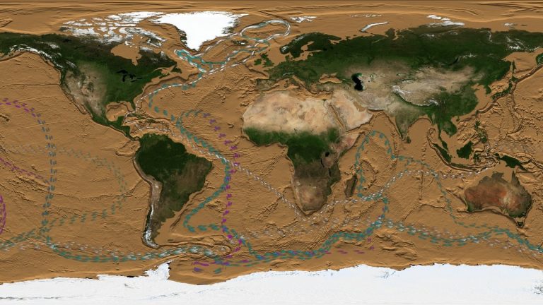
NASA visualization of thermohaline circulation in the global ocean

The ocean conveyor belt moves heat, salt and nutrients around Earth

NOAA’s ocean conveyor overview describes a hidden system that links chilly northern seas to waters thousands of miles away. This slow, globe-spanning movement redistributes key properties through the ocean. A single parcel of water can take about a thousand years to complete the trip, so changes unfold on a very different clock from a storm…