
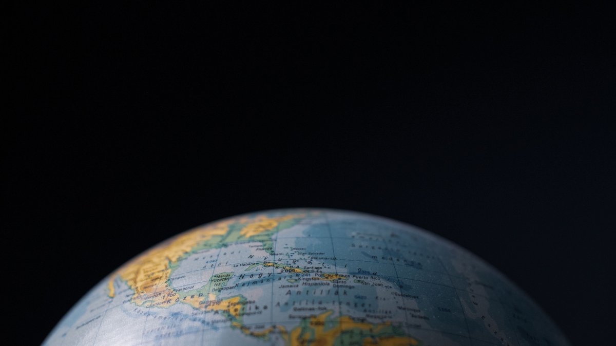
The International Hydrographic Organization maintains a standard for naming and dividing oceans and seas. That standard helps explain why 11 countries can be counted as having Atlantic and Pacific coasts. The answer includes shorelines on Atlantic-connected seas such as the Caribbean, Gulf of Mexico, Baltic Sea and Black Sea.
Geography makes the count less obvious than a map of the five oceans suggests. The Caribbean Sea, for example, is a marginal sea of the Atlantic. A country can therefore face the Caribbean on one side and the Pacific on another while still fitting the Atlantic-Pacific description.
Why the count is 11
The list is Canada; the United States; Mexico; Guatemala; Honduras; Nicaragua; Costa Rica; Panama; Colombia; Chile; and Russia. Canada, the United States and Chile reach the open Atlantic. The other cases depend on connected seas or a narrow southern passage.
That approach describes ocean geography rather than legal ownership or trade power. Coastline totals also vary because maps count islands, tidal inlets and shore detail differently. A country may have a short coast on one side and a vast coast on the other. Both shorelines can still shape fishing, ports, weather and access to maritime routes.
There is no single legal label called a two-ocean country. The practical question is whether a nation’s shore faces the Pacific and the Atlantic system. That system includes seas connected to the Atlantic through natural straits. It also explains why a list based only on open-ocean beaches would be shorter than the useful geographic list.
Ocean labels are tools for describing connected water, currents and navigation. They do not erase the identity of a regional sea. The Caribbean has its own currents, reefs and island chains. The Baltic has a much narrower exchange with the Atlantic. Both still connect their coastal countries to a wider Atlantic network in a way that matters for this comparison. The IHO publication supplies names and boundary conventions for oceans and seas. This article applies those conventions to an editorial count that includes Atlantic marginal seas and Chile’s southern Atlantic-facing waters. A narrower definition limited to open-ocean frontage would produce a different total.
The continental-scale countries
Canada has a Pacific shore in British Columbia and a huge Atlantic-facing coast around Newfoundland and Labrador, Quebec, Nova Scotia and New Brunswick. Its many islands add striking complexity to any coastline total. Vancouver and Prince Rupert serve Pacific trade, while Halifax and other eastern ports face the Atlantic basin.
The United States has a direct Pacific coast along California, Oregon, Washington and Alaska. Its Atlantic coast extends from Maine to Florida, with the Gulf of Mexico adding another Atlantic-connected shore. This geography supports separate port networks, naval bases, fisheries and climate patterns on opposite sides of the continent.
Mexico faces the Pacific along its west and south, including the Baja California peninsula. On the east, the country borders both the Gulf of Mexico and the Caribbean Sea. Mexico’s environment ministry describes these as its Pacific and Atlantic marine regions. That gives Mexico a clear example of how marginal seas matter in this count, because its eastern coastline belongs to the wider Atlantic basin.
Russia reaches the Pacific through its Far East coast, including waters around the Sea of Okhotsk and the Bering Sea. Its Atlantic connection comes through the Baltic and Black seas. Those routes are indirect on a world map, though they remain linked to the Atlantic through connected waterways and straits.
These four countries show the scale of the idea. Canada and the United States spread across large northern landmasses. Mexico joins a Pacific edge to the Gulf and Caribbean. Russia connects very distant coasts through different seas. Each has two marine neighborhoods that developed separate shipping patterns and coastal cultures.
Central America forms a two-ocean bridge
Guatemala has a short Pacific coast and a shorter Caribbean coast. Its ports sit on opposite sides of a mountainous country. The distance between oceans is small compared with the long coastal routes of Canada or Russia, yet the two coasts face very different marine regions.
Honduras has a narrow Pacific outlet on the Gulf of Fonseca and a much longer Caribbean coast. The Gulf is shared with El Salvador and Nicaragua. Its Caribbean ports have historically carried much more of the country’s seaborne trade.
Nicaragua also has coastlines on the Pacific and Caribbean sides. The country’s broad Caribbean shore is often called the Mosquito Coast, a name connected to the Miskito people. Its low route through Lake Nicaragua once made it a serious candidate for an interoceanic canal.
Costa Rica pairs a Pacific coast with a Caribbean coast. Mountains between them influence rainfall and habitats, helping create distinct coastal settings. Pacific beaches often have a stronger dry season, while the Caribbean side receives moisture through much of the year.
Panama provides the clearest physical link between the two basins. The Panama Canal treaty documents describe the canal corridor as running from the Atlantic entrance to the Pacific entrance. Ships cross the isthmus through locks and lakes, avoiding the long passage around South America.
Colombia and Chile complete South America’s list
Colombia is South America’s only country with a Caribbean coast and a Pacific coast, as the Colombian Ocean Commission’s official map guidance notes. Buenaventura is the country’s leading Pacific port, while Cartagena and Barranquilla sit on the Caribbean side. The Pacific shore includes some of the wettest coastal environments on Earth, with mangroves and rainforest close to the sea.
Chile’s long western coast faces the Pacific. At its far southern end, Chile also has Atlantic-facing waters around the eastern outlet of the Strait of Magellan and Tierra del Fuego. The location is remote, windy and important to navigation history because vessels used the strait before the Panama Canal opened.
South America’s two examples differ greatly. Colombia’s coasts lie on opposite sides of the continent’s northern corner. Chile’s Atlantic connection lies at the far southern end of a long, narrow country. Together they show why a simple coast-coloring exercise needs attention to regional seas, passages and exact map boundaries.
The Strait of Magellan also shows how geography can change shipping history. Before the canal route became available, sailors used southern passages to avoid crossing land. The strait is safer than the open waters around Cape Horn in some conditions, although it remains narrow and demanding. Chile’s southern geography therefore has an Atlantic role that is both physical and historical.
Why two-ocean coasts matter
Two-ocean geography creates options, although the value differs sharply from country to country. Ports can serve markets on separate sides of a continent. Coastal ecosystems can also be very different, from cold Pacific upwelling zones to warm Caribbean reefs and temperate Atlantic shelves.
The 11-country count is therefore a useful map-reading exercise with a careful definition behind it. Open-ocean coasts are only part of the story. Marginal seas, straits, islands and canal routes reveal how the Atlantic and Pacific are connected across the world’s shorelines.
The comparison also helps explain why ports and ocean science are often regional. A Pacific current, hurricane route, or shipping lane may have little in common with conditions on the same country’s Atlantic side. Two coastlines give a country more than a second beach. They place it in two linked yet distinct ocean systems.
For students and map readers, the best method is to state the rule before counting. Include Atlantic marginal seas and the answer is 11. Restrict the question to direct open-Atlantic exposure and several borderline cases fall away. The broader definition is valuable because it follows how hydrographers describe connected seas and how coastal regions actually function.





