Explainer

RSS Feed
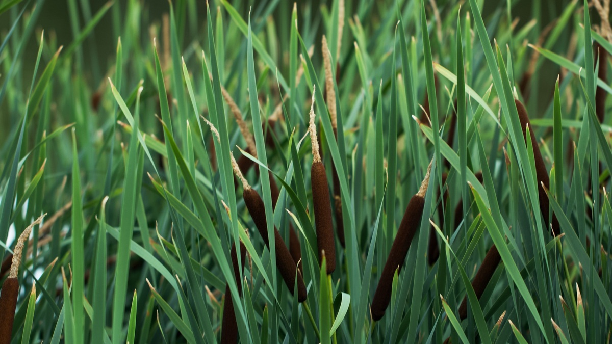
Vibrant green bulrush plants growing in a serene wetland setting

Plants of the Great Lakes

Plants in the Great Lakes occupy several different habitats. Submerged species grow below the surface, floating-leaved plants reach the light and emergent plants root in shallow water while extending stems into the air. Coastal wetlands add sedges, grasses, shrubs and trees along the changing boundary between land and lake. The five lakes are too deep…
More

More in Explainer

Vibrant abstract artwork resembling a topographic map with flowing blue and magenta lines

Great Lakes Topographic Map and Elevations

A topographic map of the Great Lakes combines land elevation with underwater bathymetry. The five lake surfaces form a descending staircase from Lake Superior at a chart reference near 601 feet above the International Great Lakes Datum zero to Lake Ontario near 243 feet. Their floors descend much farther, with Lake Superior reaching about 1,332…

Traveler studies map by tranquil lake surrounded by hills

Utah Lake Depth Map and Deepest Point

Utah Lake is unusually shallow for its size. At a full-lake reference level, official local sources describe an average depth of roughly 9 to 10.5 feet and a maximum depth of about 14 feet, or 4.3 meters. The deepest water lies within the broad central basin rather than in a narrow offshore trench. Those figures…

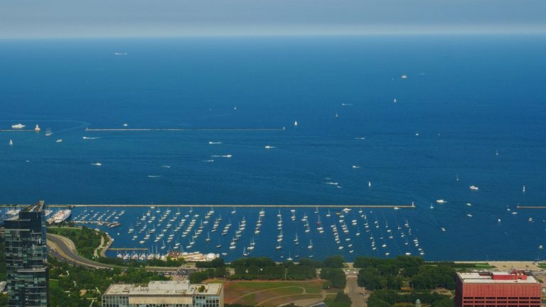
Aerial_view_of_lake_michigan_and_chicago

Lake Michigan Contour Map and Deepest Point

Lake Michigan’s contour map reveals a lakebed divided into broad shelves, deep basins and submerged ridges. The deepest recorded area lies in the Chippewa Basin, where NOAA describes depths greater than 275 metres. The U.S. Coast Pilot gives a maximum recorded depth of 923 feet, about 281 metres. NOAA’s Lake Michigan bathymetry provides the official…