
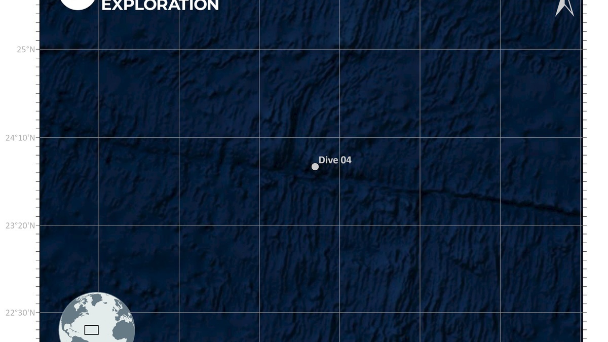
An oceanic transform fault is an active plate boundary where two plates slide horizontally past each other. A fracture zone is the inactive scar that extends beyond the ends of that transform across older oceanic crust. Both may appear as one long line on a seafloor map, but only the transform segment currently separates plates.
The distinction becomes clear at an offset mid-ocean ridge. Two spreading segments do not line up and the transform fault connects their ends. Plate motion on either side of that connector is opposite. Past each ridge axis, the line continues within a single plate as a fracture zone, where crust on both sides now travels together.
USGS defines modern marine transforms as strike-slip or oblique faults that accommodate lateral offsets, while fracture zones are relicts of transform faulting. Earthquake patterns, crustal ages and relative motion allow geologists to tell them apart.
Magnetic stripes supply an independent check on the geometry. The WHOI history of seafloor spreading explains how matching polarity bands extend away from ridge crests. Their displacement across a transform records the offset while their ages show which crust moved past the ridge-transform intersection. Seismic focal mechanisms independently confirm the present direction of slip at depth.
Transform faults connect spreading segments
Mid-ocean ridges form a global plate boundary, but their axes are divided into segments. Curvature of the plates and variations in spreading geometry require lateral offsets. Transform faults accommodate those offsets without creating or destroying large amounts of lithosphere.
At the active transform, blocks on opposite sides belong to different plates. Their relative movement produces strike-slip faulting and shallow earthquakes. The fault may contain several strands, pull-apart basins and zones of crushed rock rather than a single clean crack.
The sense of motion can look counterintuitive. Ridge segments seem offset one way on a map, yet earthquake slip along the connector may occur in the opposite apparent direction. Plate-motion vectors, rather than visual offset alone, determine actual movement.
Fracture zones preserve an inactive trace
When crust leaves a ridge-transform intersection, it carries the structural boundary away from the active plate edge. Both sides of the line become part of the same rigid plate and move in the same direction. The old boundary remains visible as a fracture zone.
Crust across the line formed at different times because the ridge axes were offset. Older lithosphere has cooled longer, become denser and subsided farther. A step in seafloor depth can persist across the fracture zone for thousands of kilometers.
Sediment thickness may also change across the line because older crust has collected material longer. Faulted rock creates rough terrain and later stress can reactivate local structures. Such activity does not make the entire fracture zone a present plate boundary.
The Clarion and Clipperton fracture zones in the Pacific are famous partly because the broad region between them contains manganese nodules. Their names describe ancient tectonic scars; they are not two continuously active transform faults spanning the whole basin.
Earthquakes reveal the active segment
Earthquake epicenters cluster between the offset ridge axes along a transform fault. Beyond the axes, fracture-zone segments are usually much less seismic. Mapping that distribution supplied strong evidence for transform-fault theory and plate motion.
Most oceanic transform earthquakes are shallow because the brittle fault zone occupies the cool upper lithosphere. Events can still grow large when a long section ruptures. Their effects are often remote from cities, though they can threaten seafloor infrastructure and occasionally contribute to tsunami generation through associated vertical movement or landslides.
Seismologists examine waveforms to determine fault orientation and slip direction. Ocean-bottom instruments improve coverage where land networks are distant. Bathymetry shows scarps and basins, while magnetic anomalies identify the ages of crust on both sides.
Faulting exposes deep rocks and guides fluids
Transform terrain can bring lower crust or upper mantle closer to the seafloor. Seawater entering fractures reacts with ultramafic rock in a process called serpentinization. The reaction changes the rock and can produce hydrogen, affecting local hydrothermal chemistry.
Pull-apart basins develop where fault geometry creates local extension. Other bends compress the crust. These variations complicate the common classroom image of two smooth plates sliding along one vertical plane.
Hydrothermal circulation can occur at intersections between transforms and spreading ridges. USGS research has examined how faulting, crustal thinning and exposed deep rocks relate to mineral deposits. The association is local and geologically controlled, so a fracture zone does not automatically indicate valuable minerals.
Argo’s seafloor brine-pool article discusses a different type of chemical environment. Linking a feature to its actual process is crucial because visually striking seafloor basins can arise from very different geology.
The map records both motion and memory
The USGS plate-motion guide describes transform boundaries as zones where plates slide past one another. At a ridge offset, the active transform is the short connector. The long extensions are the inherited record of that connector’s earlier positions.
This geometry helps scientists reconstruct plate history. Fracture-zone trends trace changes in spreading direction, while offsets and magnetic stripes constrain past motion. A bend may indicate that a plate changed course relative to its neighbor.
Sonar surveys provide the surface form and satellite gravity reveals long structures across poorly mapped ocean. Seismic data locate active slip. Rock samples and magnetic measurements establish ages, allowing one linear feature to be separated into active and fossil portions.
Magnetic anomaly stripes terminate or shift across fracture zones, preserving the amount of ridge offset at the time each strip formed. Their ages turn the seafloor pattern into a record of changing plate velocity. Adjacent stripes also show whether spreading remained symmetrical.
Within the global ocean-floor landscape, transform faults break ridges into segments and fracture zones stripe the older basin. One accommodates present motion; the other preserves where that motion occurred in the past.
Transform boundaries differ from divergent ridges
A divergent boundary makes new crust as plates separate. A transform boundary transfers motion laterally between offset boundary segments. Crust is neither systematically created nor consumed along the connector, although small pull-apart basins may produce local volcanism.
The junction between ridge and transform is tectonically complex. Hot young crust on one side can face older cooler crust across the fault. Stress, heat flow and hydrothermal circulation change abruptly over short distances.
After crust passes the junction, the former fault trace becomes part of the plate interior. Its relief can continue steering currents and collecting sediment. Present morphology therefore preserves a plate boundary that has moved elsewhere.
Terminology prevents a common map-reading error
Older sources sometimes use transform fault and fracture zone loosely, especially when referring to the entire linear feature. Modern plate-tectonic usage separates the active segment from inactive extensions. The difference is based on relative motion rather than visual appearance.
A map showing earthquakes provides a quick diagnostic. Frequent shallow events between ridge axes indicate the transform. Long quiet traces beyond them are fracture zones, subject to occasional intraplate events rather than continuous boundary slip.
Keeping the terms separate clarifies hazard statements and plate reconstructions. It also prevents a mineral field or deep channel near an old fracture zone from being described as if it sits on an active fault. The terminology therefore describes motion as well as shape.
Bathymetric steps also influence sediment. The older, deeper side can trap bottom-current deposits, while scarps expose rock on the shallower side. These effects keep a fossil boundary visible long after active slip has ended.
Modern earthquake catalogs supply the decisive check. An active ridge-transform segment accommodates repeated plate-boundary motion. Scattered events beyond it require local analysis and do not reactivate an entire ocean-spanning fracture zone.
These features commonly interrupt a mid-ocean ridge. Modern surveys reveal their relief with bathymetry and multibeam sonar.





