
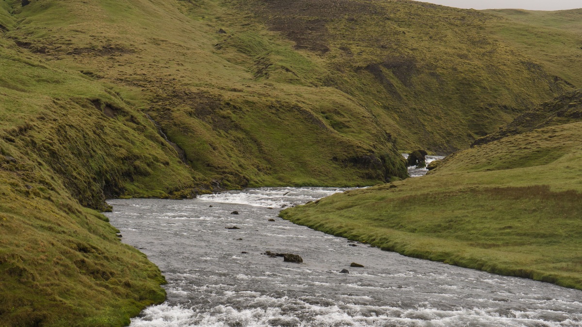
Surface water is the water visible in rivers, lakes, reservoirs and wetlands. Groundwater occupies pores and fractures beneath the land surface. Location is the clearest difference, but it is only the beginning. The two supplies move at different speeds, respond differently to weather and pollution and often flow into each other.
A river can seep downward and recharge an aquifer. Groundwater can also rise through a streambed, keeping the channel flowing between storms. The U.S. Geological Survey describes surface water and groundwater as connected parts of one resource, so decisions about either supply can affect the other.
Where surface water and groundwater are found
Surface water collects on the land or flows across it. Rain and melting snow feed streams, ponds and lakes, while dams hold river water in reservoirs. Oceans are surface water too, although water managers usually use the term when discussing freshwater supplies. A surface-water body has an exposed boundary with the atmosphere, allowing direct exchanges through rainfall and evaporation.
Groundwater begins below the water table, where connected openings in soil, sediment or rock are saturated. An aquifer is a body of material that can store water and transmit enough of it to be useful. Sand and gravel commonly form productive aquifers because water can move through their connected pores. Fractured limestone or volcanic rock can also carry substantial groundwater.
Water beneath the ground does not occupy a vast empty cavern in most places. It fills tiny spaces between grains or moves through cracks. Argo’s explanation of alluvial aquifers shows how river-deposited sand and gravel can become an important underground reservoir beside a channel.
How each supply moves
Gravity drives both forms of water, yet their travel times differ sharply. Surface runoff may reach a creek within minutes after an intense storm. Rivers then carry water downstream at a pace that can often be observed directly. Lake currents, wind and outlet flow redistribute water over hours, seasons or longer periods.
Groundwater follows differences in hydraulic head, moving from areas with higher energy toward areas with lower energy. Its speed depends strongly on the material. Large connected openings let water pass relatively freely, while compact clay resists flow. The USGS groundwater-flow overview notes that shallow routes may be completed quickly, whereas water in deep aquifers can remain underground for thousands of years.
The path is seldom a straight vertical descent. Water infiltrates through the unsaturated zone, reaches the water table and then moves laterally through an aquifer. Confining layers can redirect it. A well, spring or stream may become its discharge point. The route reflects local geology as much as the shape of the land above.
Storage also differs. A reservoir holds a recognizable volume behind a dam. Aquifer storage is distributed through a three-dimensional mass of sediment or rock. Lowering the groundwater level drains part of that pore space, although the amount released depends on the aquifer’s physical properties.
The boundary between them is permeable
Many streams are gaining streams: the nearby water table stands higher than the channel, so groundwater enters through the bed and banks. This contribution is called baseflow. It explains why some rivers continue to run through dry weather, a process explored in Argo’s article on baseflow in rivers.
A losing stream has the opposite relationship. Its water surface stands above the adjacent water table, allowing water to seep into the ground. One channel may gain in one reach and lose in another. The direction can also reverse seasonally as river stage and groundwater levels change.
Lakes exchange water with aquifers in similarly complex ways. Some receive groundwater across much of their beds. Others leak downward and many gain water on one side while losing it elsewhere. The USGS report Ground Water and Surface Water: A Single Resource explains how these exchanges also transfer dissolved chemicals between aquatic and underground environments.
Weather reaches the two stores on different schedules
Surface water usually responds first. A downpour can raise a small stream rapidly, while a dry, windy period increases evaporation from a lake. Snowmelt can create a predictable seasonal pulse. These changes make surface supplies relatively easy to monitor, yet they can also make available volume highly variable.
Groundwater response depends on the depth of the water table and the time needed for recharge to pass through soil and rock. A shallow well in permeable sand may rise soon after a wet period. A deep confined aquifer can show a delayed or muted response. Pumping may produce a larger short-term change than rainfall at an individual well.
Groundwater’s slower movement can buffer drought by sustaining streams after surface runoff declines. The same delay can hide depletion. An aquifer may support pumping for years while its stored volume steadily falls. Recovery can then require many wet seasons, especially where recharge is naturally limited.
Pollution behaves differently above and below ground
Surface-water contamination is often visible or detected soon after a spill because runoff carries material directly into channels. Sunlight, oxygen and flowing water can transform or dilute some contaminants, although rapid transport may spread them far downstream. Algal blooms, sediment plumes and fish kills can provide obvious warning signs.
Soil and sediment can filter particles before infiltrating water reaches an aquifer, but this natural treatment is incomplete. Dissolved nitrate, solvents and many other chemicals can travel with recharge. Once contamination enters groundwater, darkness and slow movement may let it persist for decades. Cleanup is difficult because the affected water occupies a large volume of pore space.
Hydraulic connection means pollution can cross the apparent boundary. Contaminated groundwater may discharge into a river for years after the original surface source is removed. Polluted stream water can seep into a nearby aquifer. The USGS therefore advises evaluating water quality and quantity together rather than assuming one source is isolated.
How people obtain and manage the water
Surface water is commonly withdrawn through an intake, then treated before delivery. Reservoirs can shift water availability across seasons, but they also lose water to evaporation and alter downstream flow. Managers can measure lake elevation, river stage and discharge directly, as described in Argo’s guide to river stage and stream discharge.
Groundwater is reached through wells that intersect saturated material. Pumping lowers hydraulic head near a well and creates a cone of depression. If withdrawal continues faster than recharge and incoming groundwater can replace it, nearby wells may deepen, pumping costs may rise and connected streams may lose flow.
Neither source is automatically cleaner or more dependable. Surface water may offer large, renewable flows but remain exposed to weather and runoff. Groundwater may be naturally protected and available during drought, yet contamination and depletion can remain hidden. Suitability depends on the watershed, aquifer, demand and treatment required.
The practical conclusion is simple: surface water lies above ground and groundwater lies below it, but the hydrologic system links them. Sustainable planning tracks the direction of exchange, the time needed for replenishment and the combined effects of withdrawals. Treating the two stores as a single moving resource gives a more accurate picture of how much usable water is truly available.
Scientists measure the two systems differently
Stream gauges record water level and use a site-specific relation to estimate discharge. Lake monitoring may combine elevation readings with mapped storage volume. Sampling stations track temperature and dissolved substances, while satellites can reveal changes in broad surface-water areas. These observations capture a system that is accessible but can vary quickly during storms.
Groundwater monitoring relies on wells completed at known depths and in identified aquifers. A water-level tape or pressure sensor measures hydraulic head over time. Pumping tests record how levels fall and recover, allowing hydrogeologists to estimate how readily an aquifer transmits water. Chemical tracers can help distinguish recent recharge from older groundwater.
No single measurement defines the connection. Investigators compare streamflow with nearby well levels, measure seepage through a bed and examine water chemistry. A river that keeps flowing during a rainless period offers indirect evidence of groundwater discharge, but a complete estimate requires separating baseflow from other sources and accounting for withdrawals.





