A Science study reports that a thin, weak layer of clay beneath the Japan Trench helped the 2011 Tohoku-oki earthquake rupture toward the seafloor. That shallow break allowed the ocean bottom to lurch an extraordinary 130 to 200 feet, helping drive the tsunami that devastated Japan’s coast.
The finding comes from an international ocean drilling effort involving Northern Arizona University geologist Christine Regalla, Cornell University researcher Patrick Fulton and collaborators from institutions around the world. Their work points to a deceptively simple feature with huge consequences, a soft clay-rich layer squeezed between stronger rocks at one of Earth’s most dangerous plate boundaries.
“That’s equivalent to the entire area between Los Angeles and San Francisco moving 130 to 200 feet in just six minutes,” Regalla said. The comparison captures the scale of motion that unfolded offshore on March 11, 2011, when a magnitude 9.1 megathrust earthquake generated a catastrophic tsunami.
The 2011 disaster killed nearly 20,000 people and caused more than $200 billion in damage. It also challenged scientists’ expectations about how much the shallowest part of a subduction-zone fault could move during a great earthquake. The new drilling results offer a clearer look at the buried conditions that made such extreme slip possible.
A weak clay layer beneath the Japan Trench
The key feature is a roughly 100-foot-thick layer of pelagic clay, a soft sediment that accumulates slowly on the deep ocean floor. Over millions of years, tiny particles settle through the water and form clay-rich deposits. At the Japan Trench, that material was carried into a subduction zone where the Pacific Plate dives beneath another tectonic plate.
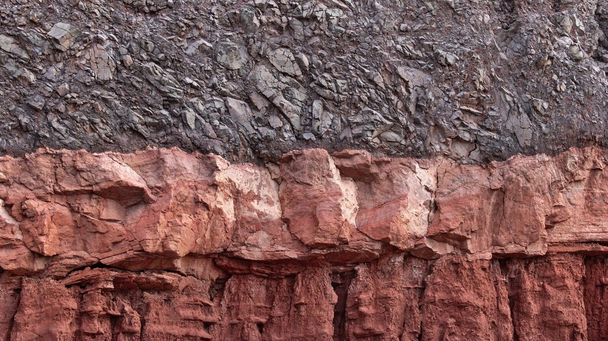
Once buried and squeezed between stronger layers, the clay created a natural zone of weakness. In a megathrust earthquake, that weakness can guide where the fault slips. The study found that the plate boundary at the Japan Trench tends to form at the top or base of this clay layer, where there are sharp contrasts in strength and physical properties.
Fulton described the effect in unusually direct terms. “At the Japan Trench, the geologic layering basically predetermines where the fault will form,” he said. “It becomes an extremely focused, extremely weak surface, which makes it easier for ruptures to propagate all the way to the seafloor.”
That matters because the shallowest part of a subduction zone sits close to the seafloor. When it moves dramatically, it can lift and shove vast volumes of seawater. The result can be a tsunami with destructive energy that travels across the ocean.
Why the rupture reached the seafloor
Most large subduction earthquakes begin deep underground, where plates are locked together by immense pressure. As stress builds, the boundary eventually breaks and releases energy. The rupture can spread across the fault surface, though shallow sections often behave differently from deeper ones.
The 2011 Tohoku-oki earthquake stood out because enormous slip occurred very close to the trench. According to the study summary, peak slip reached about 50 to 70 meters on the shallowest portion of the plate boundary megathrust. That is the same range described to the public as roughly 130 to 200 feet of seafloor displacement.
Regalla said the scale surprised researchers who study earthquakes. “We’ve never seen anything like that in the time we’ve been observing earthquakes,” she said. The event showed that a shallow fault segment can produce far more motion than many models had anticipated.
The clay layer helps explain why. A rupture moving along a narrow, weak surface can keep traveling instead of dying out before reaching the trench. When that rupture breaks through the shallow plate boundary, the seafloor above it can shift with stunning force.
This mechanism gives scientists a more physical explanation for the tsunami’s power. The disaster was shaped by the geometry of the trench, the location of the rupture and the weak sediment hidden beneath the seabed.
The drilling mission that broke records
The evidence came from International Ocean Discovery Program Expedition 405, also known as JTRACK. Researchers sailed aboard the Japanese deep-sea research vessel Chikyu, a ship designed for scientific drilling in some of the planet’s most challenging marine environments.
The expedition drilled multiple holes through the region of large slip and at a Pacific Plate input site. That approach let researchers compare the fault zone with the sediment and rock layers being carried into the subduction system. The goal was to see how incoming materials shape the plate boundary before earthquakes occur.
According to the public summary, the team drilled about 26,000 feet into the ocean floor during the campaign. Guinness World Records recognized the expedition as the deepest scientific ocean drilling project ever completed. For earthquake science, that depth offered rare access to materials tied directly to one of the most consequential earthquakes ever recorded.
The recovered cores allowed scientists to examine the layering, composition and physical behavior of sediments beneath the Japan Trench. Those samples revealed how a thin band of clay could become a slip surface for a massive earthquake. In practical terms, the drilling mission turned an invisible weakness into something researchers could measure and describe.
How a narrow fault produced extreme motion
The Science study identifies fault localization as a central part of the story. In simple terms, the fault became concentrated along a very narrow weak zone. Instead of spreading deformation through a broad jumble of rocks, the plate boundary focused slip along the clay-rich surface.
That focus can make a fault easier to move during an earthquake. The pelagic clay behaves as a weak layer compared with the surrounding material. When stress reaches a critical point, the concentrated surface can allow rupture to keep propagating toward the trench.
This is especially important at a megathrust fault, where one plate dives beneath another. These faults are capable of producing the largest earthquakes on Earth. When the shallow end of a megathrust slips by tens of meters, the overlying seafloor can heave and displace seawater across a huge area.
Fulton said the work helps account for the quake’s unusual behavior. “This work helps explain why the 2011 earthquake behaved so differently from what many of our models predicted,” he said.
The lesson reaches beyond one event. If a subduction zone contains a similar weak layer in the right position, it may have the ingredients for large shallow slip. Scientists still need site-specific evidence, since each trench has its own structure and history.
What this means for future tsunami forecasts
The clay-rich layer extends for hundreds of miles along the Japan Trench, according to the public research summary. That suggests the same geological setup may exist beyond the section that ruptured in 2011. For hazard scientists, that makes the discovery more than a post-disaster explanation.
Better maps of weak layers could help researchers identify which subduction zones are capable of producing the largest shallow slips. That information could improve tsunami source models, evacuation planning and coastal risk assessments. It could also help policymakers decide where to strengthen infrastructure and update emergency plans.
The implications are international. Tsunamis generated near Japan can cross the Pacific and affect distant coastlines, including Hawaii and ports around the ocean basin. Regalla noted that earthquakes and tsunamis in Japan can affect communities far from the source region.
Earthquake forecasting still faces deep challenges. Scientists can identify dangerous fault systems and assess likely behavior, yet precise predictions of time and location remain out of reach. Studies like this improve the underlying physics by showing which buried materials can turn a large earthquake into a tsunami-generating disaster.
For Japan, the 2011 tsunami remains a painful reminder of how much energy can be released offshore in minutes. For researchers, the newly sampled clay layer gives that tragedy a clearer geological mechanism. A thin seam beneath the seafloor helped shape one of the most destructive natural disasters in modern history.