Oceans

RSS Feed

Ocean science news, explainers, and statistics covering marine environments, currents, climate, coasts, seafloor research, and the changing global ocean.

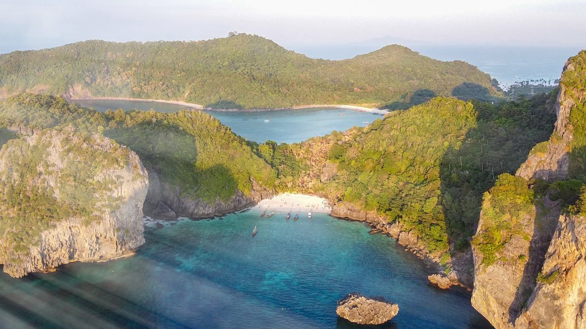
Forest and tropical sea, amazing aerial view from drone. Holiday concept

Satellite view reveals tide-fed biodiversity in Guinea-Bissau

Eighty-eight islands and islets spread across Guinea-Bissau’s coast, then seem to enlarge as the sea pulls back. A July 17 NASA Earth Observatory release uses a Landsat 8 image to show that daily transformation in the Bijagós Archipelago. The image was acquired on November 28, 2025, by the satellite’s Operational Land Imager. At relatively low…
More

More in Oceans

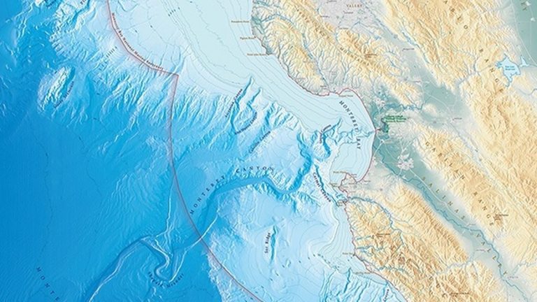
NOAA bathymetric map of Monterey Bay and its submarine canyon

In 1857, James Alden found a deep valley in Monterey Bay while sounding from the Coast Survey Steamer Active, revealing the first known seafloor canyon before sonar existed and giving mariners an early glimpse of the hidden terrain beneath California’s central coast

In 1857, a set of depth measurements in Monterey Bay produced a surprise that no sailor could see from the deck. James Alden, commanding the Coast Survey Steamer Active, traced a deep valley running through the bay. The feature would become known as Monterey Canyon and NOAA records describe it as the first known seafloor…

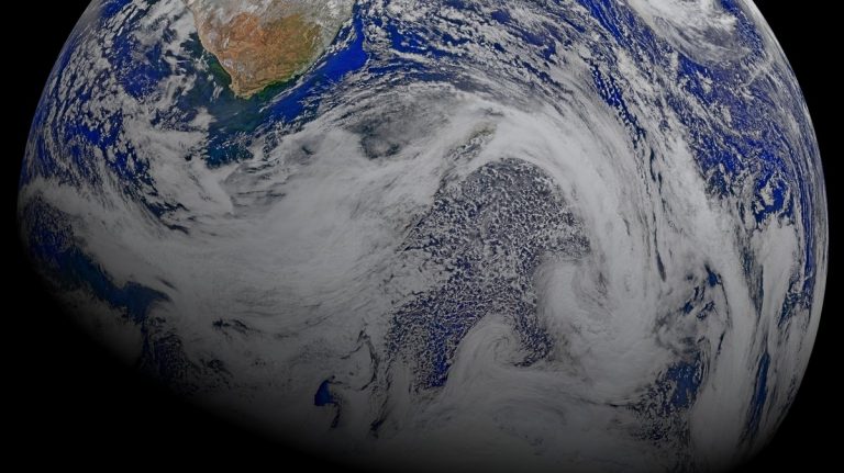
NASA satellite composite centered on the Indian Ocean, southern Africa and Madagascar

Indian Ocean facts

The Indian Ocean helps set the rhythm of life for hundreds of millions of people. Its seasonal winds help shape rainfall over East Africa, the Indian subcontinent and Southeast Asia. Its warm waters store heat, feed powerful storms and carry water between the tropics and the Southern Ocean. It is also a busy marine crossroads.…

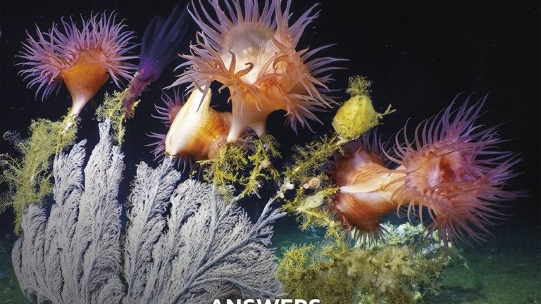
Answers from the Abyss

In 1961 CUSS I held position in 11,673 feet of Pacific water and drilled through 558 feet of sediment into basalt, proving deep-ocean drilling could work and launching a field while Project Mohole’s goal of reaching Earth’s mantle remained out of reach

In 1961, a converted drilling barge named CUSS I hovered above the Pacific near Guadalupe Island, Mexico, with nearly 2.2 miles of water beneath it. The vessel drilled down through 11,673 feet of ocean, then entered the seafloor itself. Its deepest hole crossed a thick stack of sediment and recovered rock from the oceanic crust.…