
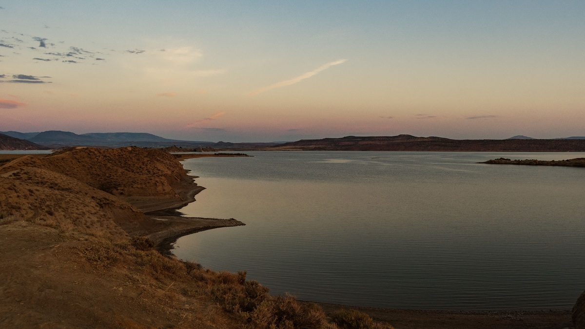
A map of New Mexico lakes is largely a map of reservoirs. The state’s most prominent open-water destinations include Elephant Butte, Navajo, Conchas, Ute, Caballo, Heron and El Vado. Natural lakes exist, especially in mountain and volcanic settings, but engineered impoundments provide most of the large blue shapes visible on a statewide map.
The best current reference depends on the question. The New Mexico fishing map helps locate public waters and check fishing information. The State Parks Division publishes current lake conditions for managed parks, while federal reservoir pages supply storage and elevation data.
Where the major lakes are
Elephant Butte Reservoir lies on the Rio Grande in south-central New Mexico, north of Truth or Consequences. Caballo Reservoir sits downstream on the same river. Together they form the clearest concentration of major water bodies in the southern half of the state.
Navajo Reservoir occupies the San Juan River near the Colorado line in the northwest. Heron and El Vado lie farther east in the upper Rio Chama basin. Conchas and Ute reservoirs are on the Canadian River system in eastern New Mexico.
Mountain lakes cluster in the north-central highlands, while smaller reservoirs appear near cities and irrigation districts. A statewide map therefore shows water concentrated along river corridors rather than spread evenly across the desert.
Elephant Butte and Caballo
Elephant Butte is New Mexico’s largest reservoir by storage capacity when full. The Rio Grande project stores water there for irrigation and downstream delivery. Its long, branching shoreline changes noticeably as elevation falls because broad shallow arms retreat toward the old river channel.
Caballo Reservoir regulates releases below Elephant Butte. On a small map the two can look like neighboring recreation lakes, yet their positions reflect a connected water-management system. The Bureau of Reclamation hydrodata service is a better source than a static outline for current storage.
Readers planning access should check park notices separately. Boat ramps that appear beside water on a basemap may be unusable at a low elevation and temporary restrictions can change after the map was published.
Navajo Reservoir in the San Juan Basin
Navajo Reservoir crosses the New Mexico and Colorado boundary. Navajo Dam impounds the San Juan River, a major Colorado River tributary. The reservoir’s interstate position makes scale especially important because a New Mexico-only map can clip its northern arms.
The dam and the lake serve different mapping purposes. A hydrographic layer traces the water body, a transportation map shows access roads and a watershed map reveals the much larger upstream drainage. Argo’s explanation of the difference between a lake and a river helps clarify why reservoir arms retain river names.
Eastern reservoirs on the Canadian River
Conchas Reservoir lies where the Canadian River system crosses northeastern New Mexico. Ute Reservoir is farther downstream near Logan. Their placement reflects the Canadian River’s eastward course toward Texas, well north of the Rio Grande reservoirs.
These lakes often appear more isolated on road maps because eastern New Mexico has fewer large surface-water features. Their tributary arms can be difficult to distinguish at statewide scale, so a detailed topographic layer is preferable for shoreline questions.
Santa Rosa Lake also belongs to the Pecos River basin in the east-central part of the state. It should not be grouped hydrologically with Conchas and Ute merely because all three appear in eastern New Mexico.
Heron and El Vado in northern New Mexico
Heron Lake and El Vado Reservoir sit close together but have distinct operating histories and water sources. Both are associated with the Rio Chama system, which later joins the Rio Grande. The nearby setting can make their outlines seem like a single complex on a simplified map.
High elevation changes the setting around these waters. Forested slopes, winter ice and seasonal road conditions differ sharply from the open desert around Elephant Butte. A physical map adds useful terrain context that a plain political map cannot show.
Natural lakes and volcanic water bodies
New Mexico also has small natural lakes. High mountain basins hold ponds and lakes formed through glacial or local geomorphic processes. In northeastern New Mexico, volcanic landforms include maar craters and other depressions that can hold water under suitable conditions.
Natural origin does not guarantee permanent water. Evaporation is strong, precipitation varies and some basins are shallow. A named lake on a historic map may be intermittent, while a reservoir outline may contract far inside its mapped shoreline during drought.
Argo’s guide to landforms created by rivers explains how flowing water shapes some natural basins and channels. New Mexico’s large recreation waters, however, are dominated by dams.
How to read a New Mexico lake map
Start with the legend and publication date. Blue may identify permanent water, seasonal water or the maximum mapped reservoir pool, depending on the product. Thin blue lines usually represent streams, while a broader filled polygon represents a lake or reservoir.
Map scale controls what appears. A statewide map emphasizes the largest reservoirs. Detailed USGS topographic maps can show coves, intermittent channels, dams and elevation contours. Argo’s overview of river anatomy provides useful terms for reading connected channels.
Many web maps use a familiar screen projection that distorts area, particularly away from the equator. That distortion is modest within one state but still makes screen measurements less reliable than data measured in an appropriate local projection.
Water levels change the shoreline
Reservoir polygons often show a reference shoreline rather than today’s water edge. Storage changes with inflow, releases and evaporation. Sediment accumulation can also alter shallow arms over decades, so a modern aerial image may disagree with an older contour map.
A map is a geographic snapshot, not a launch-ramp guarantee. State park alerts should be checked before travel. Water-quality advisories and fishing regulations come from separate agencies and may apply to only part of a lake.
For historical comparison, keep the reservoir elevation or image date with every shoreline measurement. Comparing two unlabeled screenshots can make seasonal drawdown look like a permanent geographic change.
Choosing the right official map
Use the state wildlife trip planner for fishing destinations, park pages for facilities and conditions and Bureau of Reclamation data for federal reservoir operations. The USGS National Map Viewer supplies topography and hydrography across the entire state.
The strongest map combines location with purpose. A visitor needs roads and access points. A hydrology question requires watershed boundaries and connected channels. A storage comparison needs dated reservoir measurements rather than the apparent size of blue polygons.
Once those distinctions are clear, New Mexico’s pattern becomes easy to read: large reservoirs follow major rivers, northern lakes sit among higher terrain and smaller natural waters occupy scattered local basins.
Comparing lake size responsibly
Reservoir area depends on water elevation. A published maximum pool, a satellite outline from a dry year and a current storage report can describe three different footprints without contradicting one another. Every comparison should identify its date and measurement basis.
Named capacity may refer to total storage, active conservation storage or another operating zone. Compare like with like and use agency tables rather than estimating volume from map color. A visually long reservoir can hold less water than a more compact but deeper basin.
Watershed boundaries provide another comparison. Two reservoirs can appear close on a road map yet collect runoff from different river systems. Switching on basin layers reveals whether water ultimately follows the Rio Grande, Canadian, Pecos or San Juan network.
Elevation shading completes the picture because New Mexico spans large changes in terrain. Mountain snowmelt can supply a reservoir far from the highest peaks shown on the same map.





