Explainer

RSS Feed
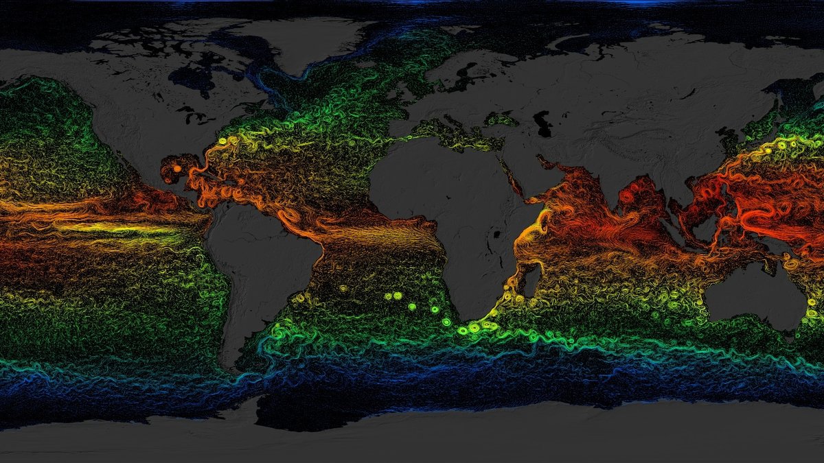
NASA visualization of global sea-surface currents colored by temperature

What is the Coriolis effect and why does it shape ocean currents?

NOAA’s National Ocean Service explains that the Coriolis effect curves the paths of moving air and water as Earth turns. That curve helps organize broad wind belts, storm circulation and much of the ocean’s surface flow. A boat or cloud can start moving because of wind, engines, gravity, or pressure differences. Earth’s rotation changes how…
More

More in Explainer

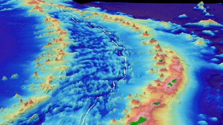
Bathymetry map of the Mariana Trench

Ocean trenches form where Earth’s crust bends and sinks

NOAA’s NCEI describes the Mariana Trench as the product of a slow collision between ocean plates. One plate bends, then descends into Earth’s mantle, drawing the edge of the plate above it downward and leaving a long trough in the seafloor. That motion has built the deepest valleys on the planet. It also links the…

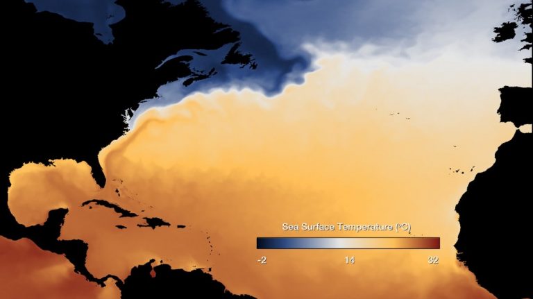
North Atlantic sea surface temperature map showing the warm Gulf Stream

How ocean currents steer climate around the world

NOAA Ocean Service explains that ocean currents move seawater from place to place and help regulate climate by carrying warm water away from the Equator and cold water back toward it. Those moving waters help explain why coasts at similar latitudes can have very different weather. They also carry heat and moisture that influence storms,…

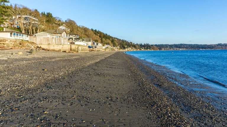
Shoreline at low tide in Burien, Washington

How the Moon and Sun pull Earth’s oceans into a tidal rhythm

NOAA’s National Ocean Service explains in its tides overview how gravity turns entire oceans into slow-moving waves. This regular rise and fall shapes coastal ecosystems, changes water depths and controls currents through harbors and narrow channels. Accurate tide predictions help ships navigate safely and allow coastal communities to prepare for unusually high water. The familiar…