Visible greenery, open skies and nearby water were linked to stronger jogging activity across Fuzhou, while hotter surfaces were associated with fewer recorded runs. The findings offer a detailed picture of how blue-green spaces may support everyday exercise in a dense, humid city facing rising heat stress.
The research article, published June 16, 2026, in Frontiers in Public Health, examined jogging records from Fuzhou, China. The team combined fitness-app data with maps of vegetation, water, street views, urban development and surface heat.
Researchers led by Fan Zhang, with Jian Sun as corresponding author, used several computer models to identify the environmental features most closely associated with jogging flow. Their results describe patterns across recorded starting points. Further research using complete running routes would help explain how people experience shade, heat and scenery throughout each journey.
Jogging records reveal public-space use
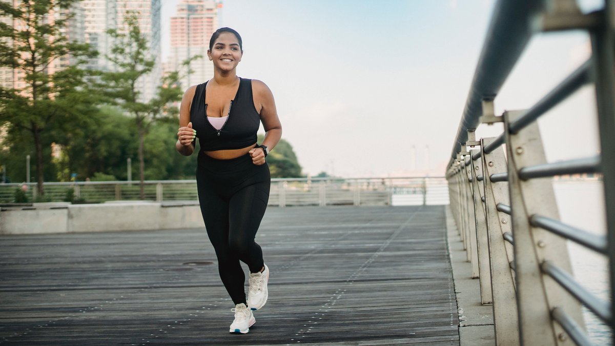
Jogging offers researchers a useful way to study how residents use streets, parks and waterfronts for physical activity. Running is inexpensive, occurs across many types of public space and can be followed through location data when people record their exercise with mobile apps.
The team collected anonymized records from Keep, a popular fitness-tracking platform in China. After removing entries with unusual speeds, extreme distances or invalid locations, the researchers retained 20,207 jogging records from September 2024. Each record included a starting location along with information such as distance, speed and duration.
Starting points served as the geographic anchors for the analysis. Nearby environmental information was then assigned to each point, allowing the team to compare jogging activity with local greenery, water access, surface temperature and features of the built environment. The records covered 10 county-level administrative areas within Fuzhou.
Nine models test 38 urban factors
Fuzhou presents a demanding setting for outdoor exercise. The city has a subtropical monsoon climate with hot, humid conditions and heavy seasonal rainfall. It also contains a large network of rivers and lakes, alongside more than 1,000 parks reported by the researchers.
The study examined 38 possible influences on jogging flow. Some measured blue and green space, including the distance to vegetation or water. Others described what runners could see at street level. Surface temperature represented heat stress, while road density and residential building density helped describe urban development.
The researchers also included access to sports facilities, local points of interest and economic conditions. Air quality and weather measurements were considered during the first stage of the analysis, along with terrain and land-use information.
Nine machine learning methods competed to predict jogging flow from the same screened dataset. The researchers placed 70 percent of the observations in a training group and used the remaining 30 percent for validation. Five-fold cross-validation helped tune each model while reducing the risk that one data split would decide the outcome.
CatBoost delivered the strongest overall performance, with an R² value of about 0.94 and the lowest prediction error among the nine models. A sensitivity test removed nine unusually influential training samples. Performance remained stable and improved slightly, suggesting that a small group of extreme observations had not controlled the main result.
Green views and open skies rank highly
After selecting CatBoost, the researchers used a method called SHAP to examine how strongly each factor contributed to the model’s predictions. SHAP assigns a value to every variable for each observation. Positive values raise a prediction, while negative values lower it.
Distance to vegetation ranked first, followed by the sky view index. Surface temperature and the green view index also ranked near the top. Together, the results suggest that runners respond to several parts of the outdoor setting, including access to nature and the scenery visible from street level.
The green view index measures how much vegetation appears in street images. It can capture trees and other plants that a person sees while moving through a neighborhood, even when the area lacks a large park. The sky view index measures how much of the sky remains visible between buildings, trees and other objects.
Greater openness may help create routes that feel less enclosed and easier to follow. Visible greenery can offer shade or a more pleasant setting, although the study did not measure each runner’s personal experience. Both indicators reflect conditions close to eye level, giving them a direct connection to the streetscape encountered by people outdoors.
Hotter surfaces are linked to less jogging
Land surface temperature ranked among the strongest predictors in the model. As surface temperature increased, predicted jogging flow generally declined. The pathway analysis also found a negative direct association between heat stress and jogging activity.
The study abstract summarizes the central result: “BGS-related variables showed positive associations with jogging flow, whereas higher LST was associated with lower predicted jogging flow.” The wording reflects a statistical relationship observed in the data.
Land surface temperature describes the warmth of roofs, roads, soil and vegetation as seen by a satellite sensor. A sunlit paved area can become much warmer than nearby air. Trees may cool the surface by blocking sunlight and releasing water vapor, while rivers and other open water can influence local temperature conditions.
Human heat exposure also depends on humidity, wind and direct sunlight. Shade along the route can alter how hot a runner feels and time of day can produce large changes. The study used surface temperature as a broad indicator of urban heat stress, providing a city-scale view while leaving personal thermal exposure for future work.
Waterfront access supports active spaces
Water played a smaller role than the leading greenery and sky-view measures, yet it remained connected with jogging flow. Greater distance from water was generally linked to lower predicted activity. The structural model also found a positive direct association between blue space and jogging flow.
Rivers, canals and lakes can provide long corridors through a crowded city. Their edges may support paths with fewer road crossings, wider views and connections between neighborhoods. Fuzhou’s extensive water network gives planners many possible locations for linked walking and running routes.
The models also pointed to the importance of activity opportunities near blue-green areas. Access to sports facilities and other useful destinations may encourage residents to begin a run nearby. In the pathway analysis, public activity opportunity measures had a stronger direct association with jogging flow than either green or blue space alone.
Green and blue spaces also showed indirect links through those activity opportunities. A park or waterfront may draw more use when it connects with paths, sports areas and accessible public nodes. The findings support planning that treats natural areas as parts of a working activity network.
Dense neighborhoods reveal a greenery mismatch
One result requires careful interpretation. Starting points farther from the nearest vegetation patch sometimes received positive contributions from the machine learning model. The pattern could appear to favor distance from greenery, yet the location of jogging origins offers another explanation.
Some runners may begin near a home or workplace in a dense district, then travel toward a park, riverfront or greener route. A starting point can therefore sit far from vegetation while the main part of the run passes through a more attractive outdoor setting.
Interactions with residential density, road density and economic activity supported this possibility. Some high-distance starting points were located in developed areas where many people may want to exercise, even though nearby vegetation remains limited. Such neighborhoods may contain strong demand for running routes alongside a shortage of close green space.
The study’s structural analysis found that urban pressure had a negative association with green-space conditions. Its links with blue space and public activity opportunities were positive, reflecting Fuzhou’s complex urban layout. Developed districts can have dense road networks and useful destinations while offering uneven access to vegetation.
A mismatch between activity demand and nearby greenery can guide local investment. Pocket parks, planted sidewalks and connections to larger greenways may offer practical options where space for major new parks is scarce.
Starting points leave route exposure uncertain
The study captures where recorded runs began and the environmental conditions around those locations. A complete route would reveal every street, park and waterfront segment that a jogger crossed. Starting-point analysis provides a consistent measure because those coordinates were available across the full dataset.
Keep users also represent a particular part of the city’s population. People who record runs with a fitness app may be younger, more active or more comfortable with mobile technology than residents who exercise without tracking devices. The data therefore describe recorded app users across Fuzhou.
Another limit comes from timing. The jogging records and changing environmental measures were matched to September 2024. Running patterns can vary by season, weather and time of day. A study covering a full year could explore how residents change their routes as heat and rainfall shift.
The researchers used structural equation modeling to examine possible direct and indirect pathways. The model explained about 49 percent of the variation in jogging flow. Its pathways describe statistical associations from cross-sectional observations. Long-term studies and evaluations conducted before and after new green infrastructure would provide stronger tests of how environmental changes influence behavior.
Planning cooler routes for active cities
The results support heat-sensitive public-space planning in neighborhoods with high surface temperatures. Tree-lined running corridors could improve shade along commonly used paths. Pocket parks may provide rest points, while waterfront routes can connect cooler open spaces across dense districts.
Street-level greenery deserves attention because large parks cannot serve every block. Trees planted along sidewalks can increase visible vegetation and may reduce direct sunlight. Vertical planting and small green areas can add natural features where available land remains limited.
Spatial openness also needs careful design. Building height, street width and tree placement influence how much sky people can see. A comfortable running route may combine shade with enough openness for clear views and easy navigation.
Connections determine whether individual improvements form a useful network. Continuous paths between homes, parks, waterfronts and sports facilities can reduce breaks caused by traffic or disconnected streets. Rest areas and drinking-water access could make longer routes easier to use during warm conditions.
Fuzhou offers one case from a hot, fast-growing city and its findings may guide research in other urban regions facing similar pressure. The central message remains cautious and practical: greener views, open streetscapes and access to blue-green corridors were associated with more recorded jogging, while hotter surfaces were linked to less activity.