
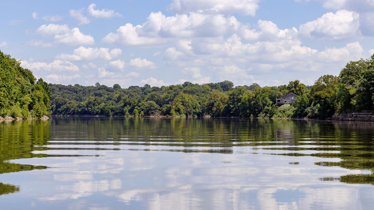
Tennessee’s clearest lake water is usually found in deep reservoirs fed by mountain rivers or in the open water near a dam. Watauga and South Holston have the strongest direct descriptions of clear water from the Tennessee Valley Authority, while federal monitoring supplies transparency or algae data for several other reservoirs.
The numbered entries below form an evidence-based selection, rather than a claim that every lake was tested on the same day and ranked statewide. Water clarity can change after rain, during an algae bloom, or between a river-like upper reach and the quieter water near a dam. A lake that looks clear can also have low oxygen deep below the surface or contaminants that cannot be seen.
Readers comparing Tennessee with other regions can also explore the clearest U.S. lakes, along with separate lists for Minnesota and Michigan. Each region needs its own evidence because geology and monitoring methods differ.
How the lakes were selected
The selection gives the most weight to direct agency descriptions of clarity, followed by Secchi-disk readings and chlorophyll results. A Secchi disk is lowered until it disappears from view, so a deeper reading generally indicates clearer water at that place and time. Chlorophyll measures the pigment associated with algae. Low algae can improve transparency, although suspended soil and dissolved color can still cloud or tint water.
Tennessee’s assessment method uses Secchi depth, chlorophyll and phosphorus to help classify lake productivity. The state methodology also stresses that different parts of one reservoir may have different conditions. TVA likewise samples forebays, mid-reservoir areas and selected inflows. The order below reflects the strength of publicly available clarity evidence, not a permanent scientific ranking.
1. Watauga Reservoir
TVA describes Watauga Reservoir as “clear and cool,” a rare direct clarity statement from the agency that manages it. The reservoir sits high in TVA’s system in northeastern Tennessee, surrounded by the Cherokee National Forest and Appalachian terrain. Forested mountain watersheds can limit some sources of sediment and nutrients, though storms can still change nearshore visibility.
The agency’s 2021 monitoring rated Watauga’s overall ecological health good. Chlorophyll was good at the forebay and high fair at the mid-reservoir station, while sediment quality was assigned a good rating at both locations using results through 2018. TVA also reported low oxygen along parts of the bottom, showing why clear surface water is only one part of lake health.
2. South Holston Reservoir
South Holston Reservoir has another unusually explicit official endorsement. TVA says the reservoir is popular for scuba diving because of its depth and clarity. Cherokee National Forest surrounds 60 percent of its shoreline, placing much of the lake beside managed forest rather than continuous urban development.
TVA’s land management page identifies the reservoir as an impoundment of the South Fork Holston River spanning Tennessee and Virginia. Separate ecological monitoring rated the reservoir fair in 2021 because dissolved oxygen and bottom-life indicators lowered its score. Excellent visual clarity therefore can coexist with stressed habitat at some depths.
3. Dale Hollow Reservoir
Dale Hollow is a large U.S. Army Corps of Engineers reservoir crossing the Tennessee-Kentucky border. Its inclusion rests on direct measurements rather than scenery descriptions. During the Corps’ August 10, 2026 survey, Secchi depth reached 3.1 meters at station DAL20002, roughly 10.2 feet.
The same field report recorded surface chlorophyll of 0.7 micrograms per liter at that station. The readings describe one station during one August survey, so they should not be treated as year-round lakewide averages. They still provide unusually concrete evidence of clear open water.
4. Center Hill Lake
Center Hill Lake, a reservoir on the Caney Fork, also has recent transparency data from the Corps. At station CEN20002 on August 11, 2026, the agency recorded a Secchi depth of 3.1 meters, or about 10.2 feet. Surface chlorophyll measured 1.0 microgram per liter during the same visit.
The August field data also show strong thermal layering and extremely low oxygen in deeper water at that station. Visitors therefore should separate the idea of clear upper water from conditions near the bottom. Visibility may vary elsewhere in the reservoir, especially after runoff enters its tributary arms.
5. Norris Reservoir
Norris is a deep storage reservoir on the Clinch River in East Tennessee. TVA’s 2017 evaluation rated chlorophyll good at the forebay and at both mid-reservoir stations. Lower chlorophyll generally means less algae suspended in the water, which supports Norris’s place among Tennessee’s clearer large reservoirs.
The Norris monitoring record covers three locations and notes that ecological health was fair overall in 2017. Low dissolved oxygen affected the lower half of the water column during part of summer and autumn. TVA explains that the reservoir’s depth and retention time allow warm and cool layers to separate, so surface appearance cannot reveal deep-water oxygen loss.
6. Tims Ford Reservoir
Tims Ford Reservoir lies on the Elk River in south-central Tennessee. TVA rated chlorophyll good at both its forebay and mid-reservoir stations in 2022. The forebay has received good or high-fair chlorophyll ratings in every monitored year, offering a long-running clarity-related signal near the dam.
Its overall ecological rating was poor in 2022 because low deep-water oxygen and bottom-life results pulled down the combined score. Sediment rated fair. Tims Ford belongs here for its algae-related transparency evidence, with those other findings kept in view.
7. Douglas Reservoir
Douglas Reservoir receives water from the French Broad River and stretches through several East Tennessee counties. In 2022, TVA rated chlorophyll good at the forebay and fair at the mid-reservoir station. The quieter forebay has historically remained in the good-to-fair range for that indicator.
Rainfall and runoff produce much of the year-to-year variation described in TVA’s Douglas assessment. Summer oxygen was poor in the lower water column, while sediment and fish indicators rated good at both stations. Douglas illustrates how clarity can be strongest in one zone of a long reservoir and weaker toward its inflowing river.
8. Tellico Reservoir
Tellico occupies the lower Little Tennessee River beside the Blue Ridge province. TVA says the upstream watershed has naturally nutrient-poor soils, so chlorophyll concentrations are expected to be much lower than in Tennessee Valley reservoirs outside the Blue Ridge ecoregion. Low nutrient availability can restrain algal growth and help preserve transparent water.
In 2021, chlorophyll rated fair at Tellico’s forebay and mid-reservoir stations, with readings slightly higher than TVA expected for the setting. The agency’s Tellico report also explains that water exchanged through a canal from nutrient-rich Fort Loudoun can affect the forebay. Natural clarity potential and human water management both influence what visitors see.
9. Cherokee Reservoir
Cherokee is a deep Holston River storage reservoir with conditions that vary along its length. TVA’s 2021 monitoring rated chlorophyll good in the forebay and fair at the mid-reservoir location. The dam-end result supports including the clearer part of Cherokee, while the mid-reservoir record warns against applying one description to every cove.
The official Cherokee assessment describes plenty of nutrients, long retention time and recurring oxygen loss in deep water. TVA also notes that mid-reservoir chlorophyll often rates poor or low fair. Cherokee is therefore a conditional choice: seek its clearer open forebay water and expect visibility to change toward inflows or after wet weather.
10. J. Percy Priest Reservoir
J. Percy Priest Reservoir earns a place through recent transparency measurements from the U.S. Army Corps of Engineers. On August 4, 2026, the Corps recorded a Secchi depth of 2.2 meters, about 7.2 feet, at station JPP20002. Station JPP20003 reached 2.1 meters, about 6.9 feet, later that morning.
The August field report shows pronounced variation across the reservoir. Other stations measured from 0.6 to 1.7 meters during the same survey, while surface chlorophyll also changed substantially by location. Percy Priest belongs in this selection because two monitored areas had strong measured transparency, with no claim that its busy coves or inflows remain equally clear.





