Water

RSS Feed

Water science news, explainers, and statistics covering freshwater, hydrology, lakes, rivers, groundwater, ice, and Earth’s connected water systems.

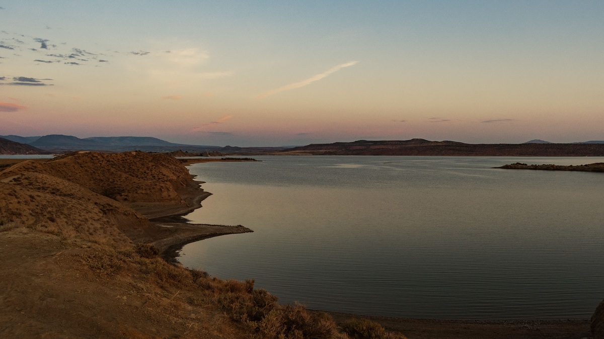
Desert_lake_landscape_for_new_mexico_lakes

Major Lakes in New Mexico: Map and Geography

A map of New Mexico lakes is largely a map of reservoirs. The state’s most prominent open-water destinations include Elephant Butte, Navajo, Conchas, Ute, Caballo, Heron and El Vado. Natural lakes exist, especially in mountain and volcanic settings, but engineered impoundments provide most of the large blue shapes visible on a statewide map. The best…
More

More in Water

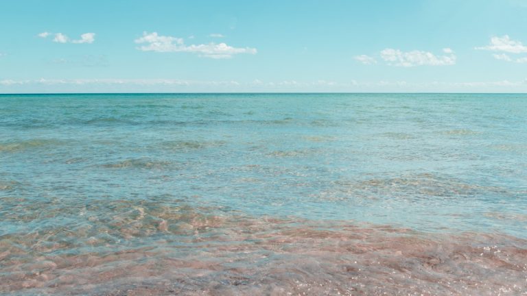
Tranquil shoreline scene with clear skies at East Tawas, Michigan, USA

The Eight U.S. States in the Great Lakes Region

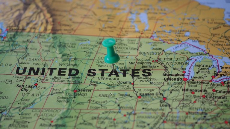
Eight American states lie in the Great Lakes basin: Minnesota, Wisconsin, Illinois, Indiana, Michigan, Ohio, Pennsylvania and New York. Each has land that drains toward at least one of the five Great Lakes. Their physical shorelines differ sharply, from Minnesota’s Lake Superior coast to New York’s frontage on Lakes Erie and Ontario. Ontario is the…

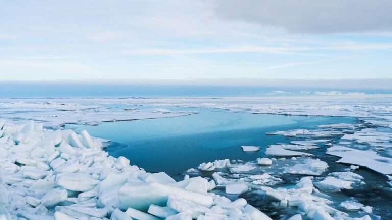
Arctic_ocean_sea_ice_and_open_water

Seas of the Arctic Ocean: Map and Geography

The Arctic Ocean is ringed by broad shelf seas that open toward its deep central basin. Moving clockwise from the Atlantic side, a map commonly shows the Barents, Kara, Laptev, East Siberian, Chukchi and Beaufort seas, followed by waters around the Canadian Arctic Archipelago and Greenland. The Greenland Sea is often included in Arctic geography…

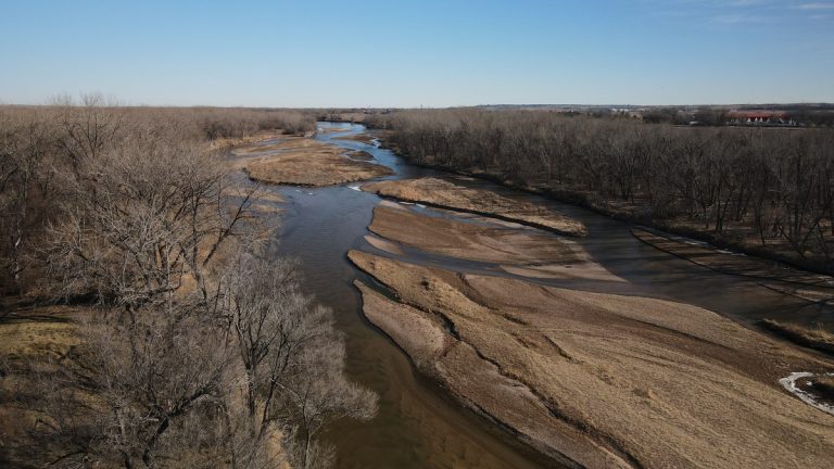
Aerial view of winding North Platte River with sandbanks in a sunlit winter landscape

Major Rivers of Nebraska: Map and Watersheds

Nebraska’s river map is organized around one continental destination: every major river in the state ultimately belongs to the Missouri River basin. The Platte crosses the center, the Niobrara drains much of the north and the Republican crosses the southwest and south. The Loup and Elkhorn join the Platte, while the Blue and Nemaha systems…