Water

RSS Feed

Water science news, explainers, and statistics covering freshwater, hydrology, lakes, rivers, groundwater, ice, and Earth’s connected water systems.

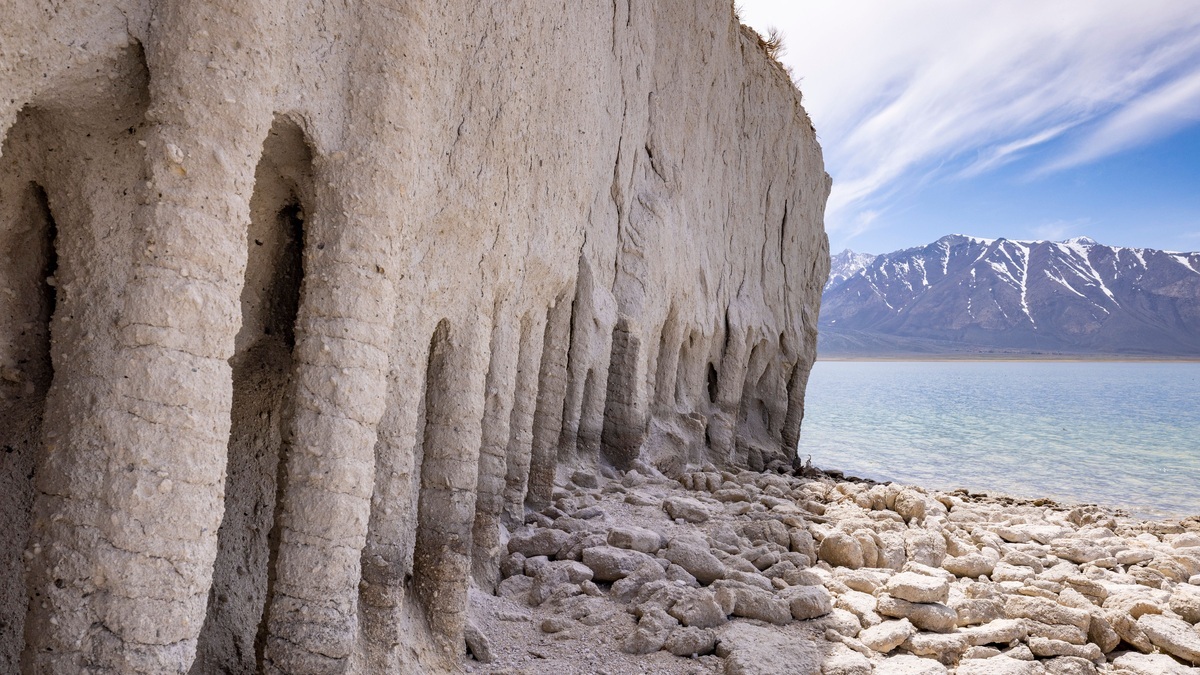
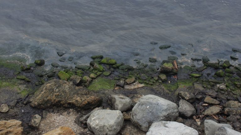
Eroded_limestone_lake_shoreline

Lake Shoreline Erosion: Causes and Natural Control Options

Lake shoreline erosion is the loss and movement of soil or sediment from the water’s edge. Waves drive much of the exposed-shore process. Runoff attacks a bank from above, while ice adds seasonal force. Removal of vegetation or poorly designed construction often accelerates the loss. Effective control begins by identifying the dominant cause and the…
More

More in Water

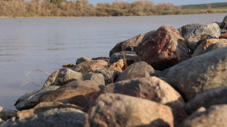
Rocky_shore_of_a_north_dakota_lake

North Dakota lake contour maps

North Dakota’s official lake contour maps are available through the North Dakota Game and Fish Department. Its Fishing Waters Viewer combines bathymetric contours with access and fisheries information, while many waters also have printable PDF maps. The department describes the resource as fishing-waters maps that include lake contours; it does not claim that every lake…

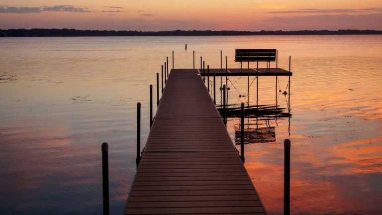
Dock_on_a_calm_midwestern_lake

Iowa lake depth maps

Iowa’s official starting point for lake depth maps is the Iowa DNR Fishing Atlas. Search for a waterbody, zoom to it and display the bathymetry layer where coverage exists. The underlying state map service labels its contour dataset “Bathymetry (selected lakes),” so readers should expect coverage for selected managed waters rather than every pond, lake…

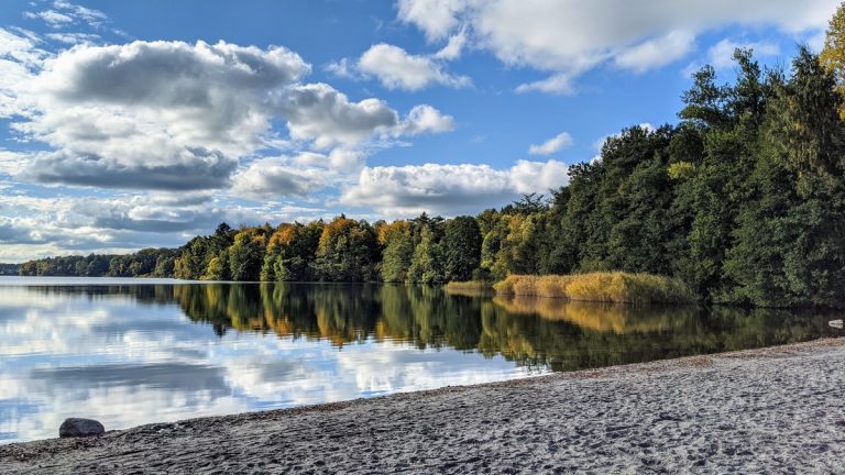
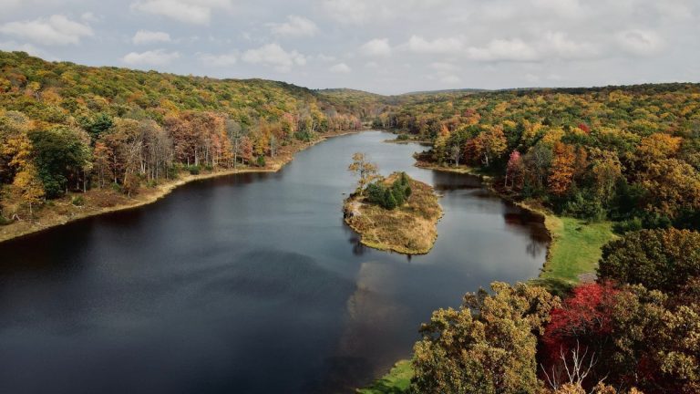
Pennsylvania_lake_surrounded_by_autumn_forest

Pennsylvania lake depth maps

Pennsylvania does not offer one verified, complete bathymetric layer for every lake in the state. Official depth maps are instead distributed through the Pennsylvania Geological Survey, individual state-park pages and federal agencies that manage particular reservoirs. The most effective search begins with the lake’s name and manager rather than an assumption that a statewide contour…