Explainer

RSS Feed
Answers from the Abyss

In 1961 CUSS I held position in 11,673 feet of Pacific water and drilled through 558 feet of sediment into basalt, proving deep-ocean drilling could work and launching a field while Project Mohole’s goal of reaching Earth’s mantle remained out of reach

In 1961, a converted drilling barge named CUSS I hovered above the Pacific near Guadalupe Island, Mexico, with nearly 2.2 miles of water beneath it. The vessel drilled down through 11,673 feet of ocean, then entered the seafloor itself. Its deepest hole crossed a thick stack of sediment and recovered rock from the oceanic crust.…
More

More in Explainer

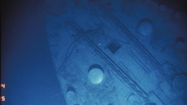
Port side of the Titanic bow, the two capstans and the port and starboard anchor chains are visible

In 1985 a camera sled followed Titanic’s debris trail 12,500 feet below the Atlantic after French sonar narrowed a vast search field and a single boiler seen before dawn on September 1 led the international team from Argo’s live video to the wreck

For 73 years, RMS Titanic lay beyond the reach of searchers in a cold, lightless part of the North Atlantic. Its final position was uncertain across a broad area of seafloor almost 12,500 feet below the surface. Before dawn on September 1, 1985, a tired crew aboard the research vessel Knorr saw the telltale form…

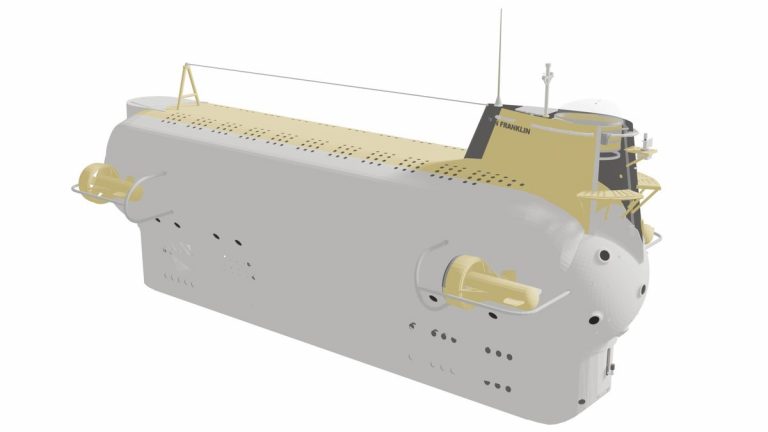
In 1969 six men spent more than 30 days drifting 1,444 nautical miles within the Gulf Stream aboard the Ben Franklin submarine, while Apollo 11 drew the public eye toward the Moon and the quiet voyage tested life and science in a closed vessel

In 1969 six men spent more than 30 days drifting 1,444 nautical miles within the Gulf Stream aboard the Ben Franklin submarine, while Apollo 11 drew the public eye toward the Moon and the quiet voyage tested life and science in a closed vessel

Thirty days inside a powerful ocean current placed six men and their research vessel in a setting that few people had ever experienced. In the summer of 1969, the submarine Ben Franklin let the Gulf Stream carry it north from Florida. The crew lived underwater through the changing conditions of the current. Their route ended…

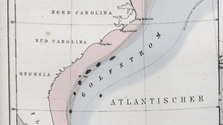
NOAA map of the U.S. East Coast continental shelf, shelf break and slope

Continental shelves form Earth’s submerged coastal plains

Beneath the water beyond many coastlines lies a landscape that once belonged to dry land. It begins at the shoreline and slopes gently seaward, often so gradually that a boat can travel far offshore while the water remains fairly shallow. This broad platform is a continental shelf, the flooded outer edge of a continent. It…