
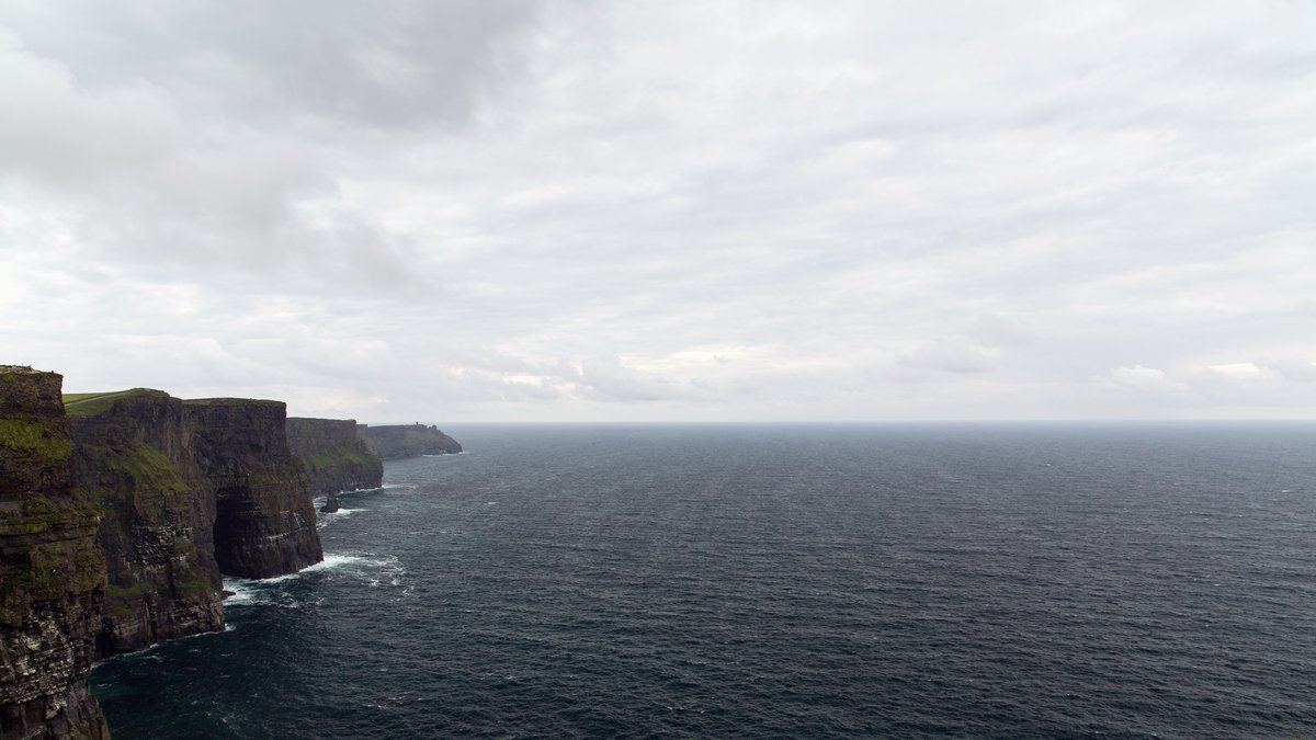
Wind along a coast can move surface water out to sea and open a path for water from far below to rise. That water carries nutrients that have collected in the dark. This ocean lift is called upwelling and it can trigger a burst of microscopic plant life that feeds a much larger food web.
The basic process is strikingly direct. Wind moves surface water away from a coast or away from the equator. Colder water then rises to fill the space. NOAA’s upwelling overview describes this replacement water as cold and nutrient-rich, conditions that often create productive fishing grounds.
Upwelling is an everyday part of ocean circulation, yet its effects reach from tiny cells to seafood markets and coastal weather. Its strength can change with the seasons and from year to year. That makes it one of the clearest examples of how wind, water, life and climate are connected.
Wind opens a path from deep water
Surface winds supply the first push. When winds blow along a shoreline, Earth’s rotation helps turn the moving surface layer away from the coast. In the Northern Hemisphere the net movement is to the right of the wind direction. In the Southern Hemisphere it is to the left. Oceanographers call this sideways response Ekman transport.
As surface water moves offshore, water below has room to rise. The water that comes up is usually cooler because it started deeper in the ocean. It also contains dissolved nitrate, phosphate and other nutrients. These materials become available near the surface, where sunlight can power photosynthesis.
The same kind of separation can happen in the open sea. Near the equator, trade winds can pull surface water apart on either side of the line. Deep water rises between them. Winds around rotating storms and spinning ocean eddies can also bring deeper water upward. Seafloor ridges, islands and underwater slopes may steer currents in ways that help lift water too.
Sunlight turns nutrients into ocean food
Once the nutrients reach the sunlit layer, phytoplankton can respond quickly. These tiny drifting organisms include plant-like algae and photosynthetic bacteria. They use light, carbon dioxide and nutrients to build living material. That fresh growth becomes food for zooplankton, shellfish, small fish and animals higher in the chain.
NASA explains that phytoplankton require nutrients such as nitrate, phosphate and silicate, although the needs differ among groups. Its overview of phytoplankton also notes that chlorophyll lets these organisms capture sunlight. Deep water can therefore act like a delivery system, restocking nutrients that surface communities have used.
That response is visible from space when blooms become large. Satellites detect changes in ocean color caused by chlorophyll and other pigments. The NASA Ocean Color program provides these observations for scientists studying conditions across broad ocean regions. Ship samples and instruments in the water remain essential for identifying organisms and measuring nutrients directly.
Productive hot spots form near coasts and the equator
Some of the best-known upwelling areas lie along the western edges of continents. The California Current off western North America, the Humboldt Current off Peru and Chile, the Canary Current off northwest Africa and the Benguela Current off southwest Africa all include coastal regions where winds can favor upwelling. Each system has its own timing and local geography.
These places support exceptionally active ecosystems because the nutrient supply can persist through a season or recur year after year. Coastal upwelling helps sustain plankton, which supports forage fish such as anchovies and sardines. Seabirds, seals, whales and commercially valuable fish can depend on the productivity that follows.
Seasonal timing matters as much as location. A wind pattern that promotes upwelling in one month may relax or reverse later in the year. Freshwater flowing from land, shelf shape and the depth of the nutrient-rich layer can change the local response. The strongest biological effects often occur where wind and sunlight arrive at a favorable time together.
The equatorial Pacific is another major hot spot. NASA’s global maps show high chlorophyll near the equator and along many upwelling coasts. They also show a different pattern in remote subtropical gyres, where surface waters tend to have fewer nutrients. Such maps reveal the broad footprint of circulation, though local field measurements are needed to explain a particular bloom or fishery change.
Fishing and weather feel the effects
The connection to fisheries is practical. Where nutrient-rich water reaches the surface, the food supply for young fish can grow. Productive upwelling regions have long supported major fisheries. The timing of winds, the movement of fish larvae, ocean temperature, predators and fishing pressure all shape what people eventually catch.
Water brought up from depth can also cool the sea surface near shore. That cooler surface may cool the air immediately above it, helping form low clouds or fog under suitable conditions. Coastal residents can feel this pattern in places where summer winds repeatedly favor upwelling. The ocean is supplying both a nutrient pulse below and a local temperature signal above.
Scientists track these changes with a growing set of tools. Satellite records show chlorophyll and sea-surface temperature over wide areas. Moorings, gliders, research ships and coastal stations add measurements of currents, oxygen, nutrients and animal life. Together, these records help separate a short-lived event from a shift that lasts through a season.
El Niño can interrupt the nutrient supply
Upwelling depends on winds and the structure of the water below. Both can change. During an El Niño event, trade winds over the tropical Pacific can weaken and warmer surface water can spread eastward. The result can reduce the normal rise of cool, nutrient-rich water near the equator and off parts of South America.
NOAA’s explanation of El Niño and La Niña describes how these climate patterns affect Pacific winds, sea-surface temperatures and rainfall. For upwelling ecosystems, a weaker nutrient supply can mean lower plankton growth. Effects can then move through the food web, particularly when the shift coincides with breeding or early growth stages.
The consequences can be especially serious when a population has adapted to a regular seasonal pulse of food. Responses vary among anchovy, seabird and marine-mammal populations and they can differ between events. Researchers therefore combine weather records with ocean measurements and biological surveys before linking a particular El Niño event to a change in abundance.
Longer-term warming adds another reason to keep watching. Warm surface water is lighter than cold deep water, so a stronger density difference can make vertical mixing harder in some locations. The outcome will vary by region because winds, currents and coastlines differ. Careful monitoring is more useful than a single global prediction for judging how a particular upwelling ecosystem may change.
A deep-ocean process with a surface signal
Upwelling shows how a movement below the waves can organize life at the surface. Winds shift a thin surface layer. Deep water rises. Nutrients meet sunlight. Ocean food webs respond, sometimes across entire coastlines and equatorial belts.
Its value also comes with limits. Large plankton blooms can increase food supply while decaying material can also use up oxygen. Fisheries management therefore needs observations of the whole system, including catches, habitats, ocean conditions and the species that connect one level of the food web to another.
For researchers, upwelling remains a natural laboratory for studying circulation and marine life together. For everyone else, it offers a vivid picture of the living ocean: wind can rearrange water and that rearrangement can help feed communities from microscopic diatoms to people on shore. It also shows where a shift in winds may reshape the water that sustains coastal productivity. These measures also help distinguish a brief change from a broader shift across the coastal marine environment over seasons and years.
The companion guide to upwelling and downwelling compares offshore and onshore Ekman transport, including the circulation that lifts nutrient-rich water or carries surface water downward.





