Explainer

RSS Feed
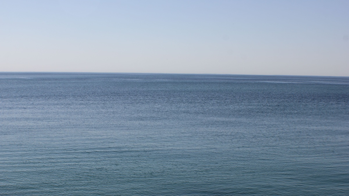
Tranquil view of Lake Ontario's serene blue waters and horizon, capturing peace and calm

Lake Ontario Depth Map and Deepest Point

Lake Ontario’s depth map shows a broad deep basin east of the lake’s center, with the lakebed descending beyond 240 metres in the Rochester Basin. The widely reported maximum is about 244 metres, or 802 feet. Shallow shelves border much of the shore before the bottom slopes into deeper offshore water. The most useful public…
More

More in Explainer

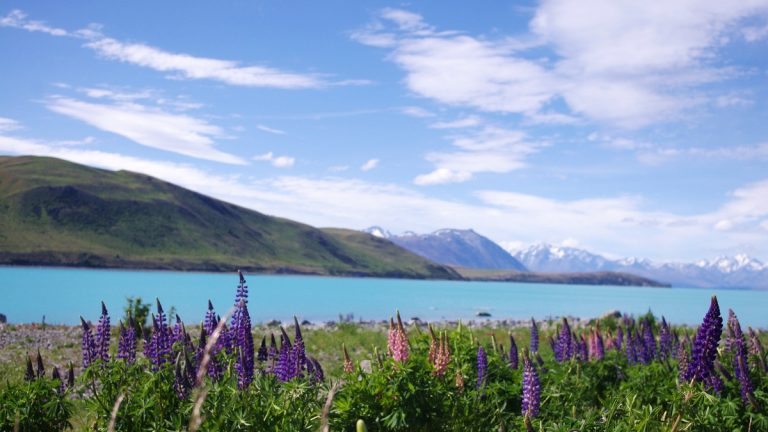
Lake_tekapo_with_lupines_and_southern_alps

12 Major Lakes in New Zealand

New Zealand’s major lakes occupy volcanic calderas, glacial troughs, landslide-blocked valleys and coastal lowlands. The 12 below were selected for geographic scale, distinctive origin or national and regional importance. They are not presented as one objective ranking because surface area, depth and cultural significance answer different questions. The list represents both main islands and uses…

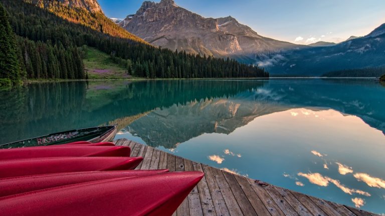
Vibrant red canoes on Emerald Lake with stunning mountain reflections at sunrise in British Columbia

12 Major Lakes in British Columbia

British Columbia contains more than 20,000 lakes, from long glacial troughs to immense hydroelectric reservoirs. The 12 below are a map-oriented selection of major or especially notable water bodies. They are not a strict ranking, because surface area, depth, length and cultural or regional importance produce different orders. The province’s Freshwater Atlas supplies a connected…

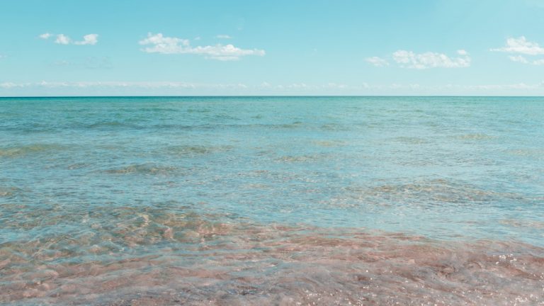
Tranquil shoreline scene with clear skies at East Tawas, Michigan, USA

The Eight U.S. States in the Great Lakes Region

Eight American states lie in the Great Lakes basin: Minnesota, Wisconsin, Illinois, Indiana, Michigan, Ohio, Pennsylvania and New York. Each has land that drains toward at least one of the five Great Lakes. Their physical shorelines differ sharply, from Minnesota’s Lake Superior coast to New York’s frontage on Lakes Erie and Ontario. Ontario is the…