
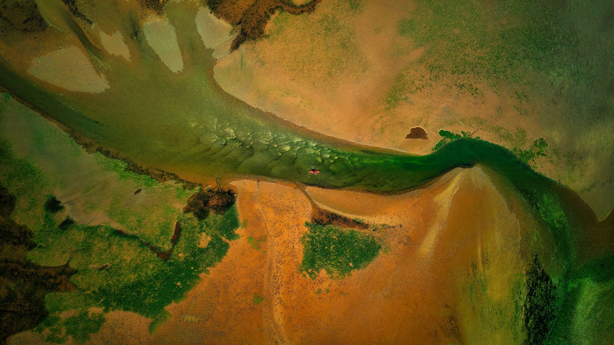
Brackish water contains more dissolved salt than fresh water but less than typical seawater. Saline water is the broader term for water with enough dissolved salts to exceed a chosen freshwater threshold. In many groundwater classifications, brackish water is therefore one range within the saline category.
The numbers depend on the field and purpose. The U.S. Geological Survey commonly places fresh water below 1,000 milligrams per liter of dissolved solids. Its Atlantic Coast groundwater report treats water above that threshold as saline and describes brackish water as roughly 1,000 to 35,000 milligrams per liter, with the upper end near seawater.
Estuary science often uses salinity rather than total dissolved solids. NOAA calls the mixture of river water and seawater brackish water and gives a broad range of 0.5 to 35 parts per thousand. Definitions overlap because each system was built to answer a different question.
What brackish water means
Brackish water occupies the transition between fresh and marine conditions. River mouths create it as fresh water meets the sea. Underground, salty water can mix with a fresher aquifer. Inland basins reach the same intermediate range when evaporation concentrates dissolved salts.
The term is descriptive rather than chemically exact. One brackish sample may contain mostly sodium and chloride, while another carries sulfate or other dissolved ions from rocks. Salinity tells how much dissolved material is present, but not its complete composition.
USGS notes that many investigators use 1,000 to 10,000 milligrams per liter for brackish groundwater, a narrower range than some coastal reports. Stating the threshold prevents confusion when comparing maps or water-supply estimates.
Sampling location matters. Water drawn near the bottom of a tidal channel may be saltier than a surface sample taken at the same moment. A well may also intersect several water-bearing layers, so its reported concentration represents the screened depth rather than the entire aquifer.
Repeated samples reveal whether the intermediate concentration is stable or only a temporary stage in a moving freshwater-saltwater boundary.
What saline water means
Saline water contains a significant concentration of dissolved salts. USGS uses 1,000 parts per million as the lower boundary in a widely used public classification. Slightly saline water runs from 1,000 to 3,000 ppm, moderately saline from 3,000 to 10,000 ppm and highly saline from 10,000 to 35,000 ppm.
Ocean water contains about 35,000 ppm of salts on that scale. Water exceeding seawater concentration is often called brine. Natural brines occur in evaporating basins and deep geologic formations. Industrial processes can produce concentrated brine as well.
“Saline” does not automatically mean ocean-derived. Ancient seawater may remain trapped underground, yet groundwater also becomes salty as it dissolves minerals along its flow path. Human sources include road salt and irrigation return flow. Coastal pumping can raise salinity by drawing seawater into an aquifer.
The USGS salinity scale is useful for broad comparison. A treatment plant or ecological study may choose different cutoffs based on membrane performance, crop tolerance or species response.
Why the units differ
Milligrams per liter measure the mass of dissolved solids in a volume of water. Parts per million describe a mass ratio, although the two are nearly equivalent for dilute water. USGS cautions that a density correction becomes appropriate at higher concentrations.
Parts per thousand were historically common in oceanography. Modern oceanographers often report Practical Salinity, which is derived from conductivity and has no unit. A typical open-ocean value is near 35, but it should not be treated as identical to 35 grams of every dissolved constituent in exactly one liter.
Total dissolved solids may be measured by evaporating a filtered sample and weighing the residue or estimated from conductivity. Salinity calculations use calibrated relationships suited to natural waters. The methods answer related questions but can produce values that should not be swapped without explanation.
Where brackish water occurs
Estuaries are the most familiar setting. River discharge makes water fresher upstream, while tides carry seawater inland near the mouth. NOAA reports that estuarine salinity can change from one day to the next with weather and tides.
Coastal aquifers contain another moving boundary. Fresh groundwater flowing toward the sea meets denser saltwater underground. Heavy pumping can lower freshwater pressure and draw the saline zone inland or upward toward wells, a process called saltwater intrusion.
Some inland lakes are brackish because water leaves mainly through evaporation. Dissolved salts remain behind and accumulate. Seasonal rainfall can dilute the lake, while drought concentrates it further.
Engineered settings include desalination plants. Treatment of seawater or brackish groundwater separates a freshwater product from a more concentrated reject stream. Brackish sources often require less pressure for reverse osmosis than seawater because their salt concentration is lower.
Ecological differences
Brackish habitats change across short distances and through the tidal cycle. Organisms living there must tolerate shifting salt concentration. Some estuarine species regulate internal salts, while narrowly adapted freshwater or marine species remain near their preferred zone.
Salinity also affects water density and dissolved oxygen. Saltier water is denser and can settle beneath a fresher surface layer, limiting vertical mixing. NOAA notes that oxygen is less soluble in seawater than in fresh water at the same temperature.
Plants show distinct tolerances. Salt marsh grasses and mangroves have adaptations for salty soils, while many freshwater plants decline as chloride exposure rises. The biological boundary does not fall at one universal salinity because species respond differently and other stresses can change tolerance.
Drinking water and treatment
High dissolved solids can give water a salty taste and cause scaling or corrosion. The USGS Atlantic Coast report notes that water above roughly 2,000 to 3,000 milligrams per liter is generally too salty to drink comfortably, although water quality depends on which ions are present.
Reverse osmosis can remove dissolved salts from both brackish and seawater sources. Electrodialysis is another option for some brackish supplies. Source concentration influences the treatment choice, while water chemistry affects pretreatment. Required production volume then determines the scale of the equipment.
Concentrate disposal deserves equal attention. Removing salt from one stream creates a smaller stream with more salt. Inland projects may lack an ocean outfall and must manage concentrate through evaporation, deep-well injection or another permitted method.
How to classify a water sample
First identify the classification system. A groundwater map based on total dissolved solids may label 5,000 mg/L water as brackish and saline at the same time. An estuary chart may instead assign a salinity zone from conductivity measurements.
Next check the measurement method and its unit. The sampling date supplies the time context. Tidal water can shift within hours, while a pumped well may become saltier over years. A single reading cannot describe the full range in a variable system.
The clearest distinction is simple: brackish identifies an intermediate salt range, whereas saline is a broader description of salty water. Reporting the numerical concentration and measurement method removes the ambiguity that the words alone cannot resolve. The stated standard makes comparisons reproducible across agencies, regions and sampling programs worldwide.
For water-supply decisions, composition can be as important as the total. Two samples with the same dissolved-solids concentration may have different chloride and sulfate levels. Their hardness may differ too. Composition affects taste and corrosion, while treatment design requires a full chemical analysis after the initial salinity screen.
Maps should also state whether they describe current conditions or an estimated resource. Pumping changes groundwater flow. Tides move coastal boundaries over hours, while drought can shift their seasonal position. Repeated monitoring shows whether a brackish source is stable enough for long-term use and whether nearby freshwater remains protected. A concentration trend can warn of saline intrusion before the water exceeds a treatment threshold.
Related reading: the difference between an ocean and a sea and how saltwater lakes form.





