
Texas is packed with places called lakes, yet most of its big open-water destinations began with a dam. Texas’s reservoir-dominated landscape makes the question of natural lakes sound simple. Yet the word “lake” may cover deep cypress water or a cut-off river bend. It can also describe a coastal basin or a rain-fed Panhandle playa.
Texas Parks and Wildlife Department commonly identifies Caddo Lake as the state’s only naturally formed lake. Caddo is the clearest answer when the definition is limited to large, named lakes shown on road maps and used for boating or fishing. A statewide count grows far beyond one when it includes the many smaller and seasonal natural water bodies that scientists and local communities may also call lakes.
Why the answer often starts with Caddo Lake
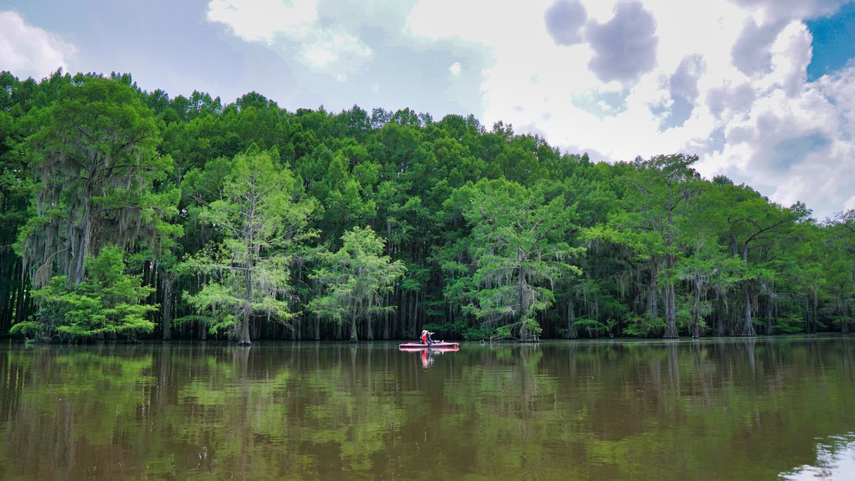
Caddo Lake sits in East Texas along the Louisiana border. Its bayous, bald cypress, wetlands and open water make a landscape unlike the broad reservoirs familiar elsewhere in the state. TPWD’s lake lesson says a huge natural log jam formed the lake hundreds of years ago. Caddo’s natural origin gives it a special place in Texas water history.
The lake also has a long human chapter. The Texas Water Development Board describes Caddo as one of Texas’s few non-oxbow natural lakes before later artificial alteration. A dam built in 1914 raised and controlled the water and a replacement dam was completed in 1971. Caddo therefore has a natural origin alongside a managed modern water level.
The mix of natural basin and human modification explains why agencies can describe Caddo in two valid ways. It is the state’s best-known large natural lake and it is also a reservoir under present-day management. TPWD’s fishing profile likewise says Caddo began naturally before it was dammed for flood control. The distinction is about formation and management, rather than a contest over the lake’s identity.
Caddo’s size also shapes its public prominence. Caddo covers about 26,800 acres at its conservation pool, according to the Water Development Board and crosses the Texas-Louisiana border. Its broad open water and extensive wetland maze make it far more visible in public memory than a small river cutoff or a basin that fills only after heavy rain. The familiar “one lake” answer has grown from that prominence as much as from a fixed scientific rule.
What counts as a natural lake
A count depends on the definition. Some specialists separate lakes from ponds by size, depth, waves, or how wind stirs the water. Each test sorts water bodies a little differently. Texas’s broad, dry landscape makes those boundaries especially important because many basins hold water only after rain.
Natural origin adds another layer. A basin formed by river movement, coastal processes, runoff, or a log jam has a natural beginning. Later levees and dams can alter its size or water level. Ditches, irrigation changes and flood-control works can do the same. The 2009 TPWD discussion, “What Makes a Lake?”, notes that such changes make strict labels difficult.
For that reason, “Texas has one natural lake” is best read as a shorthand for one prominent large lake in a narrow category. Texas has no single universal count that every mapmaker, hydrologist, wetland scientist and local resident would use. A careful answer names the definition before naming the number.
Season adds a practical challenge. Some shallow basins are full after a wet spell and dry during drought. Their changing appearance can shape whether a visitor sees a lake, a wetland, a grassland depression, or bare ground. Hydrologists can still study the basin and its runoff pattern even when it has no visible water. A map that records only permanent open water will therefore return a smaller answer than a wetland inventory.
Even a size cutoff does not settle the question. TPWD’s discussion of lake definitions notes that some people use five surface acres as a threshold, while others use 99 acres. Wave action and wind mixing offer another way to separate lakes from ponds. Hydrologic tests can help organize field data, yet they do not turn every natural Texas basin into a single, permanent category. The chosen threshold changes the count before anyone begins to decide whether a water body is natural.
Texas water bodies beyond Caddo
Oxbow lakes form when a meandering river cuts off one of its bends and water remains in the old channel. Along the Rio Grande, many are called resacas. They may be small, shallow, connected to floods only at times, or altered by nearby development. They still show how rivers can create natural standing water across Texas.
The coast has another example. TPWD identifies Green Lake in Calhoun County as a naturally formed water body near the coast, although a levee now partly surrounds it. Its roughly 10,000 acres underline why a count based only on Caddo omits a meaningful natural feature. Coastal lakes, lagoons, marshes and shallow basins also blur the neat edges between everyday water names.
Far to the west, playa lakes are shallow, dish-shaped basins that collect runoff on the High Plains. They commonly dry out between wet periods, which is one reason they may vanish from casual lake lists. A USGS report estimated that about 20,000 playas lie in west Texas and describes them as major wetland habitat. Their water comes and goes, while their basins remain a major part of the region’s natural hydrology.
The inventory examples include named and unnamed water bodies. They also vary in size, permanence and human alteration. Counting every natural basin with standing water produces a much larger figure than counting large, named lakes with open water throughout most years.
Playas matter even when their surfaces are dry. The USGS report describes the broader playa region as a major habitat for waterfowl and other wildlife. Rainfall determines which basins flood and how long they hold water. Changing inventories make an exact total hard to freeze in time. One inventory may count mapped basins, while another may count only water-filled lakes during a particular season or aerial survey.
Why reservoirs change the picture
Most famous Texas lakes are reservoirs, created when people impound a stream or river behind a dam. They store water for cities and farms, reduce floods, support power generation and provide places to fish and boat. TPWD reports more than 200 major reservoirs and more than 5,000 smaller ones, so those human-built waters dominate the state’s lake vocabulary.
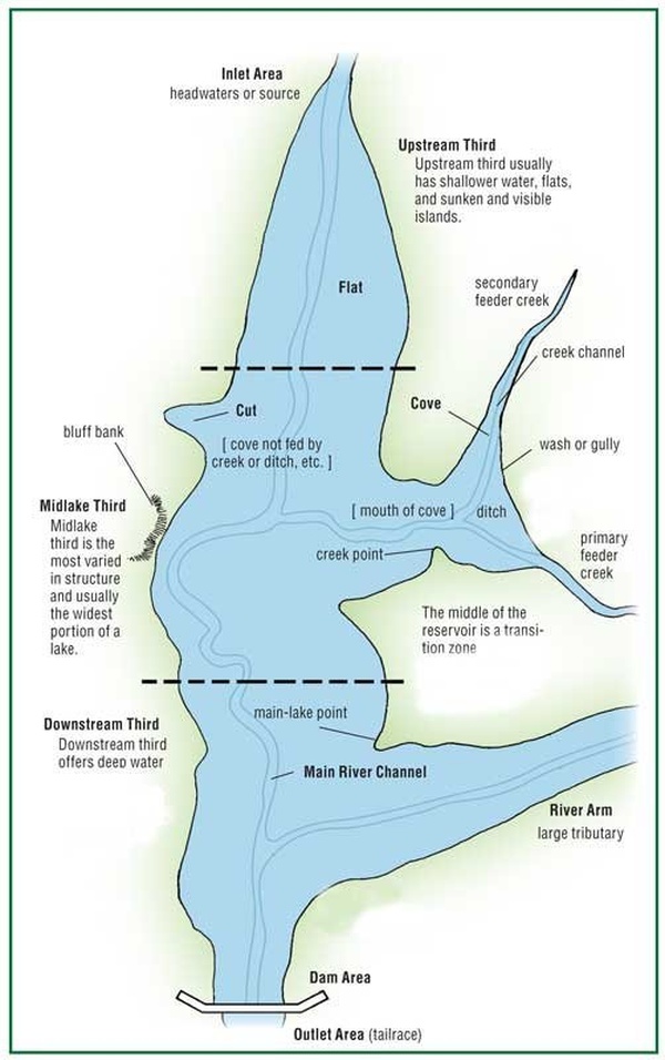
Names can confuse the issue. Lake Travis, Lake Lewisville, Lake Amistad and many other waters called “lake” are reservoirs by origin. A reservoir can look and function like a lake, with shorelines, fish habitat and waves. Its formation history is still different from a basin formed by a river, runoff, or coastal processes.
The clearest answer is therefore two-part: Caddo Lake is commonly cited as Texas’s only natural lake of notable size. Texas also contains numerous natural playas, oxbows and resacas. Coastal water bodies and other named or unnamed basins add to the total. The final count varies with the chosen definition, the season and the amount of human modification included.
Reservoirs also affect how people picture Texas water. Their stable shorelines, boat ramps, fishing maps and official names make them easy to count and compare. Natural water bodies can be less regular. A river may shift, a playa may refill and a coastal basin may be reshaped by storms or levees. Keeping origin separate from present-day use makes the question clearer without erasing the value of either kind of water.





