
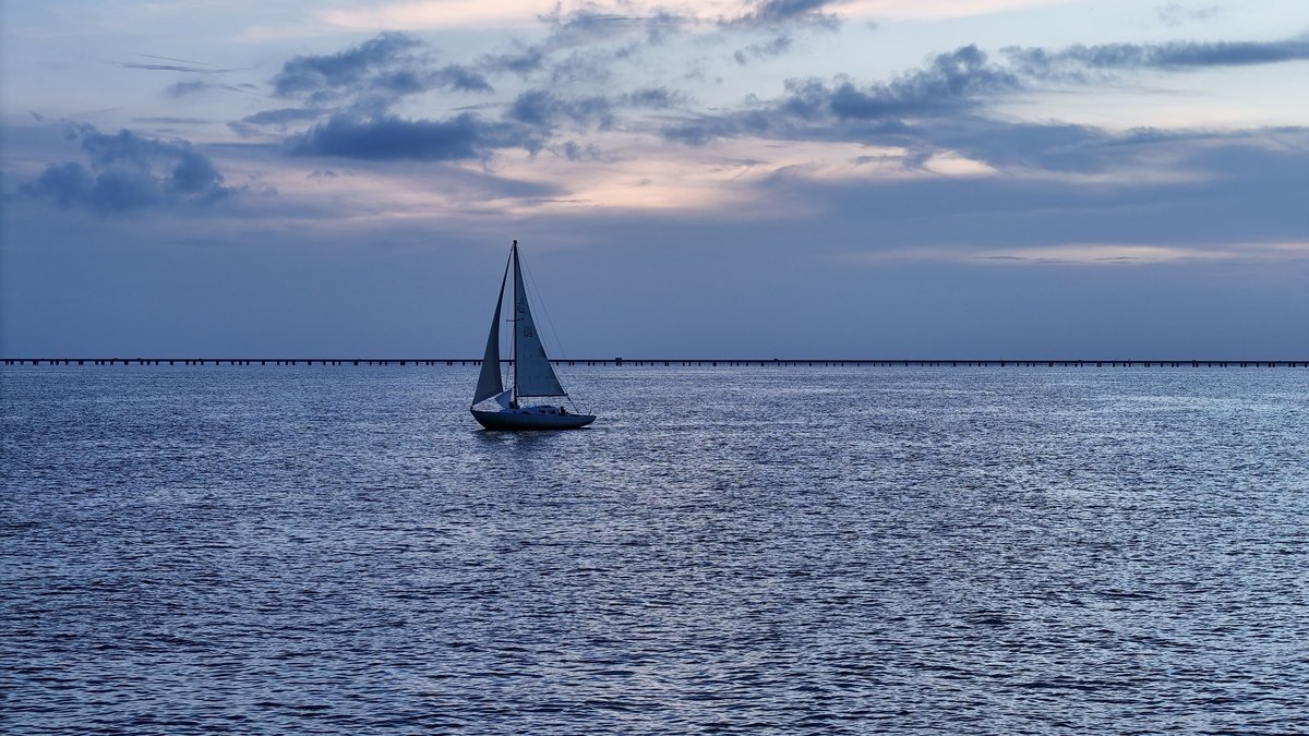
A few feet of water shape a great deal of life around New Orleans. Lake Pontchartrain spreads across roughly 630 square miles, yet its broad floor sits close to the surface. The shallow basin lets wind move water across the basin quickly. It helps waves build during storms and keeps the lake closely tied to the rivers, wetlands and tidal passes around it.
The clearest short answer is that the open lake averages about 11 feet deep. A USGS fact sheet gives that average and a 6-to-16-foot range. Other official descriptions use nearby figures, including 12 or 14 feet. They describe the same basic reality: this is a very wide and unusually shallow coastal water body.
A shallow basin beside New Orleans
Lake Pontchartrain lies north of New Orleans in southeastern Louisiana. Its oval shape is about 36 miles long and up to 22 miles wide, according to NOAA’s U.S. Coast Pilot. Its broad surface makes the lake feel ocean-sized from shore, especially when a strong wind sends a long reach of water toward the opposite bank.
Depth tells a different story. NOAA’s current pilot describes the lake as 10 to 16 feet deep. The older USGS watershed fact sheet lists 6 to 16 feet, while a USGS water-quality report gives 6 to 17 feet. A lake floor changes gradually across a large basin. Published values can also reflect different surveys, dates, water levels and reference datums. Taken together, the reports place most of the natural open basin in a narrow depth range.
Shallow water responds quickly to wind. Wind can raise or lower the water level along a shore by several feet and waves can stir bottom sediment into the water. A USGS sediment study describes wind, waves and tidal changes as forces that can resuspend sediment. The lake’s depth is therefore part of its daily behavior and a useful clue to what a map number represents.
USGS identifies wind as the major control on circulation in the lake, with small tidal changes also affecting currents. On a basin this broad and shallow, wind direction can matter as much as the water’s modest average depth. Water piles up on one side, shifts sediment and carries fresh or saltier water across the lake. Wind-driven movement helps explain why conditions can differ from shore to shore. It also helps make shallow-water forecasts important during severe weather.
The average depth is about 11 feet
The strongest Pontchartrain-specific figure comes from the USGS: an average depth of 11 feet. The 12-foot figure appears in both the 1995 watershed fact sheet and a 1996 report on water quality near the Bonnet Carre Spillway. NASA has described an average of 12 feet from an orbital view, while a Department of the Interior account gives 14 feet at normal lake level. Taken together, the reported depths place the broad lake’s average at roughly a dozen feet.
Average depth should never be treated as a depth reading for every point on the lake. It is a summary of a huge area with a gently varying bottom. The 1996 USGS report adds a striking detail: 37 percent of the lake floor lay below 12 feet, yet that area held only 4.8 percent of the lake’s volume. The low average-to-maximum depth ratio reflects how much of the basin is broad and flat.
For comparison, four meters is about 13 feet. USGS Data Series 206 uses that rounded metric average while calling Pontchartrain a large, shallow estuary. The small differences among 11, 12, 13 and 14 feet all identify the same physical setting. It is a shallow expanse where wind and freshwater inflow strongly influence conditions.
The open lake reaches roughly 16 to 17 feet
For the natural open lake floor, the best cautious maximum is about 16 to 17 feet. The 1995 USGS fact sheet reports 16 feet and the 1996 USGS report reports 17 feet. NOAA’s 2026 Coast Pilot uses a 10-to-16-foot range. A person asking for one maximum number can use 16 feet for the current navigational description, with 17 feet appearing in the earlier USGS survey-based account.
The range of reported averages also explains why a widely repeated figure of 15 feet appears in general lake discussions. It is a practical rounded description of a basin whose deepest natural open-water areas remain only a few feet deeper. For boaters and swimmers as well as coastal planners, actual depth at a place and time still depends on wind and weather. Water level and the local bottom also influence the depth.
Lake levels are especially sensitive to wind because the basin is so shallow and broad. NOAA says wind-driven variation can have an extreme range of 3.5 to 4 feet. A northwest winter wind can push water away from one shore and expose more of the shallows. Storms can push it the other way, bringing higher water and larger waves against the shoreline.
Shipping channels are a separate measurement
Navigation channels should be kept separate from the lake’s natural depth. Dredged routes, canal entrances, bridge openings and locks are built or maintained for vessel travel. Their reported depths describe narrow corridors, while the 11-foot average describes the open basin. Mixing the two numbers can make Lake Pontchartrain seem much deeper than its natural lake floor.
NOAA identifies the Inner Harbor Navigation Canal as the deepwater connection between the Mississippi River and Lake Pontchartrain. The canal’s lock has 31 feet over its sills at low Mississippi River water. The deeper figure is a lock and canal measurement, several miles from the broad lake floor. It is useful for navigation and remains separate from the natural 10-to-17-foot character of the lake itself.
Depth figures for maintained channels also need a date and a location. NOAA explains that a federal project depth is a planned dredging depth, while a controlling depth is the least known depth from surveys. Shoaling can change conditions between maintenance projects. The Coast Pilot, for example, reports an 11-foot controlling depth for the North Shore Channel in 1999. The route depths answer a route-specific boating question.
Why salt and fresh water meet here
Brackish water is the key to Lake Pontchartrain’s identity. The USGS calls it an estuarine embayment because the lake connects eastward to Lake Borgne through The Rigolets and Chef Menteur Pass. Water then reaches the Gulf of Mexico through the surrounding coastal system. The tidal range inside the lake is small, so that exchange takes time.
Freshwater arrives from several directions. The Tchefuncte and Tangipahoa Rivers flow directly into the lake. The Amite and Tickfaw reach it through Lake Maurepas and the Pearl River affects the eastern side through the Rigolets and Lake Borgne. USGS records describe the lake’s salinity as fresh in late winter and about 10 parts per thousand in late summer. Rain, river flow, wind and tides all help set the mix.
Human changes have influenced that mix as well. A study by Michael A. Poirrier examined whether the closure of the Mississippi River Gulf Outlet stopped saltwater intrusion, salinity layering and low bottom-water oxygen. The question shows why depth and connections belong together. In a shallow estuary, a change to a channel can affect how saltier water moves and how habitats function.
So, how deep is Lake Pontchartrain? Plan on an average near 11 feet and an open-lake maximum around 16 to 17 feet. Its size can hide that shallow depth from view. The lake’s real character comes from the combination: a broad flat basin, wind-driven water, river inflow and slow exchange with the Gulf-connected estuary.





