Explainer

RSS Feed
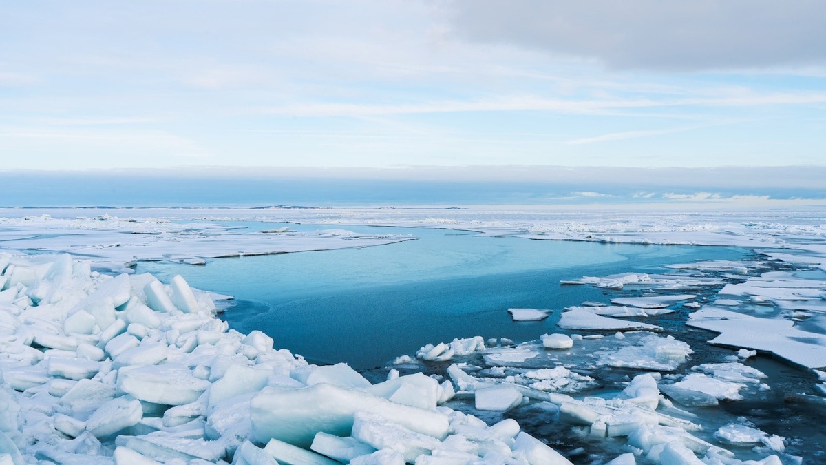
Arctic_ocean_sea_ice_and_open_water

Seas of the Arctic Ocean: Map and Geography

The Arctic Ocean is ringed by broad shelf seas that open toward its deep central basin. Moving clockwise from the Atlantic side, a map commonly shows the Barents, Kara, Laptev, East Siberian, Chukchi and Beaufort seas, followed by waters around the Canadian Arctic Archipelago and Greenland. The Greenland Sea is often included in Arctic geography…
More

More in Explainer

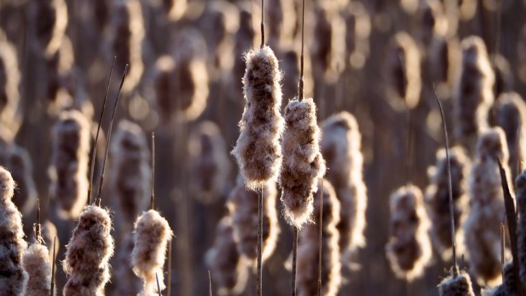
Captivating cattails softly illuminated by golden hour sunlight in a serene winter marsh setting

Marsh vs. Bog: What Is the Difference?

A marsh is a wetland dominated by nonwoody emergent plants and usually supplied by surface water, often with groundwater input. A bog is a peat-forming wetland fed mainly by precipitation, which leaves it acidic and low in available nutrients. Cattails and sedges commonly rise from marsh water. Sphagnum moss builds much of a bog surface,…

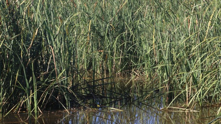
Lush marsh terrain featuring tall reeds and water reflections under natural sunlight

Wetland Landforms Explained

Wetland landforms are landscape settings where water remains at or near the ground surface long enough to create wetland soils and support water-tolerant life. They include closed depressions and river floodplains as well as deltas, coastal flats, peat-filled basins and smaller settings associated with dunes or karst. The wetland designation comes from hydrology and ecosystem…

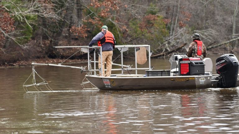
Two men conducting an electrofishing survey on a river in Decatur, Alabama

What Does a Fluvial Geomorphologist Do?

A fluvial geomorphologist studies how rivers and floodplains form, move sediment and change through time. The work connects geology with hydrology and ecology. A practitioner may measure a channel in the field, compare historical maps, model a flood or advise a restoration team about how a proposed structure could alter erosion. No single job description…