Explainer

RSS Feed
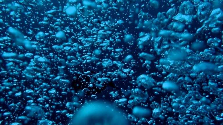
Blue_ocean_water_with_changing_oxygen

What Is an Oxygen Minimum Zone?

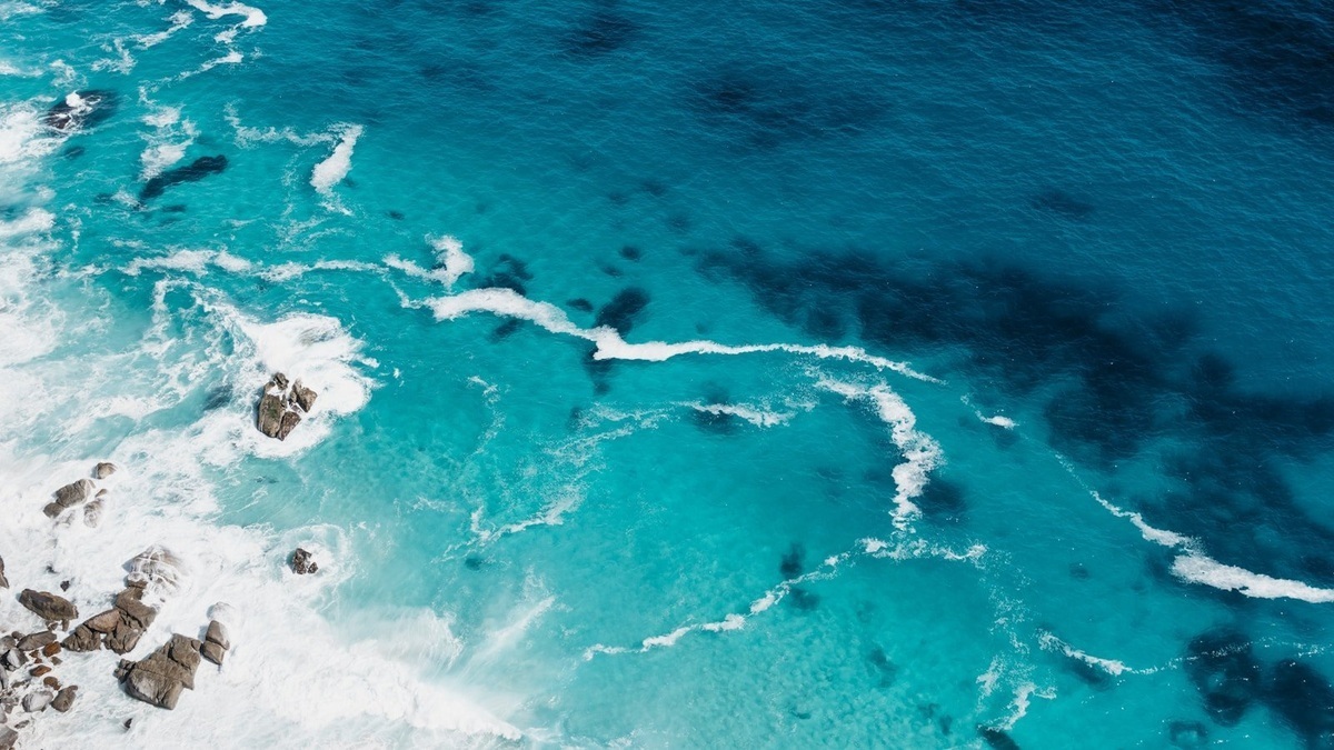
An oxygen minimum zone is a persistent layer of the ocean where dissolved oxygen falls much lower than in the water above and below. It usually forms below the sunlit surface, where sinking organic matter fuels respiration, while sluggish circulation replaces oxygen slowly. NOAA places many OMZs between roughly 100 and 1,500 meters depth in…
More

More in Explainer

Research_vessel_mapping_the_seafloor

Multibeam vs. Side-Scan Sonar: What Is the Difference?

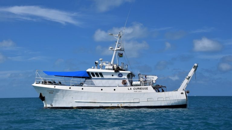
Multibeam sonar measures the depth and three-dimensional form of the seafloor across a wide swath. Side-scan sonar records detailed acoustic imagery that is especially useful for finding objects and changes in bottom texture. Both transmit sound sideways beneath a survey vessel, but their main products answer different questions. A multibeam map tells a surveyor how…

Map_and_chart_of_ocean_depth

What Is Bathymetry?

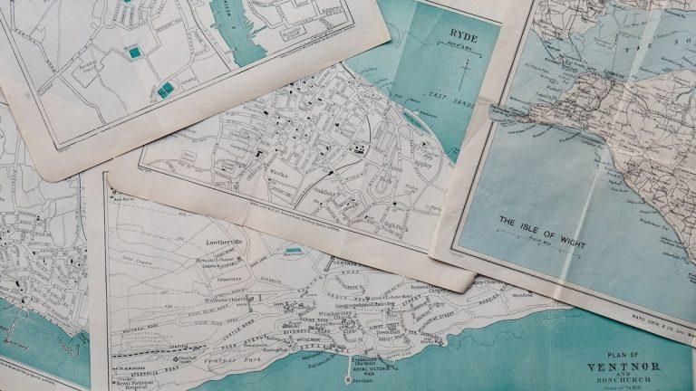
Bathymetry is the measurement and mapping of water depth. A bathymetric map shows the underwater relief of a lake or ocean basin, including slopes, ridges, canyons, trenches and plains. It is the submerged counterpart of a topographic map, but collecting the measurements is far harder because water hides the landscape from ordinary cameras and most…

Continental_rock_meets_the_ocean

Oceanic Crust vs. Continental Crust

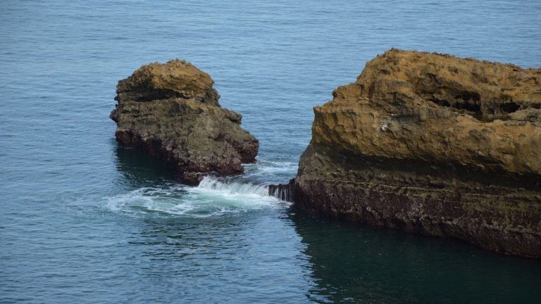
Oceanic crust and continental crust are the two forms of solid rock at Earth’s surface, yet they differ in composition, thickness, density, age and fate. Oceanic crust is generally thin, dense and basalt-rich. Continental crust is usually much thicker, less dense and compositionally varied, with abundant rocks that resemble granite. Those properties help explain why…