
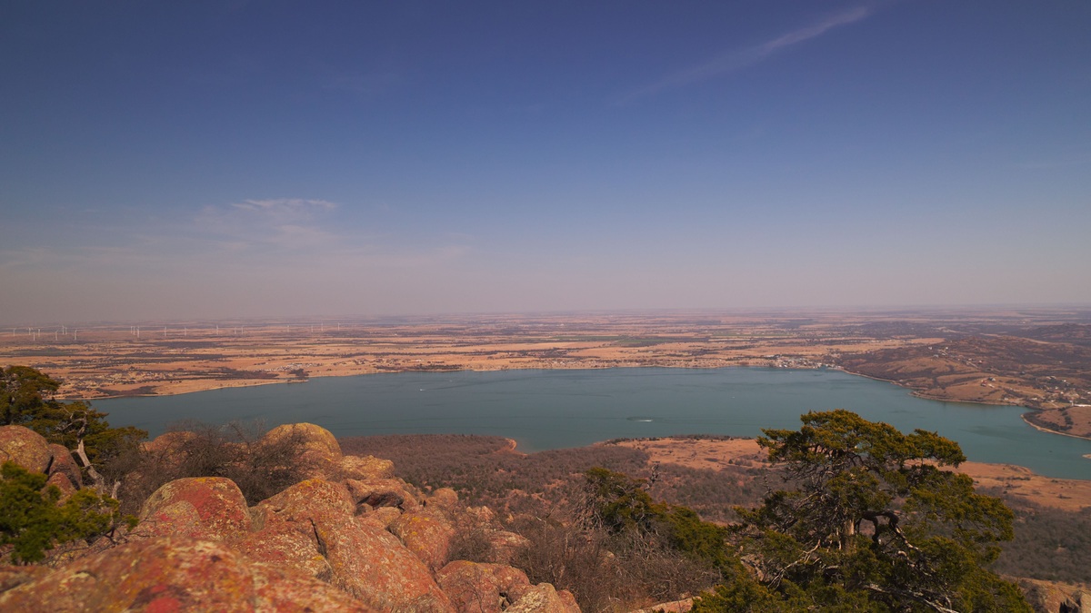
Duncan Lake is a city-owned reservoir in Stephens County, about 12 miles east of Duncan, Oklahoma. The Oklahoma Department of Wildlife Conservation lists a surface area of 500 acres, a maximum depth of 25.3 feet and 5.9 miles of shoreline. City visitor information uses the rounded figures of 550 acres and four miles of shoreline, so the two official descriptions should not be treated as measurements from the same method.
The lake is one of four reservoirs operated by the City of Duncan. It supports fishing, boating, camping and designated swimming, but several activities require city permits. Visitors should consult the current Duncan Area Lakes rules before arriving because booking systems, fees and operating conditions can change.
Duncan Lake’s size and depth
The state wildlife agency reports 7,200 acre-feet of storage and a maximum depth of 25.3 feet. An acre-foot is the volume needed to cover one acre with one foot of water. Dividing the listed storage by the 500-acre surface area produces a rough average depth of 14.4 feet, although actual volume and area vary with water level. Maximum water depth is also different from the structural height of a dam.
A bathymetric sheet from the Oklahoma Water Resources Board maps the lake at 500 acres. Depth contours show the underwater shape rather than guaranteeing current clearance. Reservoir levels and sediment accumulation can change local depths after a survey.
Duncan Lake belongs to a group of man-made city reservoirs constructed between 1948 and 1962 as water resources for future droughts. Recreation developed around those working water-supply lakes, which helps explain why city rules give special attention to sanitation and safe water use.
Fishing focuses on three popular species
The City of Duncan identifies largemouth bass, channel catfish and crappie as the lake’s principal sport fish. These species use different habitats. Bass often hold near cover or changes in bottom structure, crappie may gather around submerged structure and channel catfish forage along the bottom.
The city provides an enclosed fishing dock as well as a boat ramp. A Duncan recreational fishing permit is required in addition to any state requirements that apply. The city prohibits netting, casting nets and noodling at its lakes, so anglers should review the local rule set rather than assuming statewide methods are allowed.
Fishing conditions change with water temperature, clarity and seasonal movement. A depth map can help locate slopes, but it cannot identify where fish are holding on a particular day. The official lake office or current agency reports are better sources for temporary conditions.
Boating has local operating rules
Motorized watercraft must travel counterclockwise under the citywide lake rules. Boats generally should remain at least 100 feet from shore and 200 feet from an anchored boat except when approaching a dock or shoreline. The city caps skiing speed at 40 miles per hour and fishing speed at 10 miles per hour.
Every person aboard must have a life preserver available. Children age 12 or younger must wear one at all times, as must people using jet skis, sailboats, canoes or surf sails. These are concise summaries, not substitutes for the complete current rules.
A recreational boating permit is required. In 2026, Duncan introduced a digital pass option for boating and other lake activities, allowing visitors to connect permits to vehicle information. Checking the city portal shortly before departure avoids relying on an outdated paper process.
Camping and facilities at Duncan Lake
The city’s facility listing describes more than 25 partial campsites. It also lists restrooms, a sanitary dump station, picnic areas and a pavilion. A playground, trails and equestrian trails broaden the site beyond water-based recreation.
Camping now uses a reservation system rather than a purely first-come arrangement. City rules apply a 21-day limit to one campsite, followed by a required move to a different campground site for at least seven days before returning. Visitors should confirm availability online before traveling.
Pets are allowed on leashes and a pet fee applies to camping stays. Facility details can change, especially during maintenance or severe weather, so the reservation listing should be treated as the final source for a particular trip.
Swimming is restricted to designated water
Swimming is permitted only in designated areas. The general city-lake rule prohibits swimming more than 50 feet from shore unless a buoyed area extends farther. This restriction separates swimmers from faster boat traffic and keeps recreation within managed zones.
Oklahoma heat can make the lake inviting, but weather remains a serious hazard. Duncan’s emergency guidance tells boaters and swimmers to leave the water immediately when thunderstorms threaten. Lightning can strike beyond the part of a storm that appears directly overhead.
Visitors should never infer water quality from appearance alone. Temporary advisories, harmful algal blooms or storm runoff may affect recreation. City notices and Oklahoma environmental health guidance provide the relevant current information.
How Duncan Lake compares with nearby city lakes
Duncan Lake is one of four municipal lakes east of the city, alongside Clear Creek Lake, Lake Fuqua and Lake Humphreys. Their facilities and activity rules overlap, but the lakes differ in area, shoreline and campsite numbers. A permit valid for an activity still does not make every activity available at every location.
Argo’s ranking of the 10 largest lakes in Oklahoma covers reservoirs on a much larger scale. Duncan Lake’s appeal comes from its combination of local access and developed facilities rather than exceptional statewide size.
Lake Humphreys is the member of the Duncan system recognized on the Oklahoma Fishing Trail, while Duncan Lake offers its own mix of fishing, designated swimming and camping. Keeping the names separate is important because search results and local directions can easily lead visitors to the wrong reservoir.
What to check before a visit
Begin with the city reservation page and the latest permit instructions. Confirm whether the planned activity needs a camping, fishing, boating or equestrian permit. Anglers should also verify Oklahoma licensing requirements and any current harvest rules.
Next, check weather and lake notices. Bring the required life preservers, follow posted swimming boundaries and use the marked ramp or access points. A printed map is useful when mobile service is unreliable, but posted signs control on-site.
Duncan Lake’s basic facts are straightforward: a modest reservoir east of Duncan with a state-listed maximum depth of 25.3 feet and a city recreation network around it. The practical details depend on current local management, which makes the city’s own pages the best final check before departure.
Water levels can change the practical shoreline
A reservoir’s mapped surface area and shoreline length assume a particular elevation. Evaporation, drought withdrawals and runoff can move the waterline, exposing shallow ground or covering features near the bank. The official 500-acre figure remains a reference measurement rather than a guarantee of today’s exact area.
Changing levels also affect ramp usability and the distance between campsites and water. Visitors should rely on posted notices instead of extrapolating from a regional reservoir trend. Duncan Lake’s own controlling authorities provide more useful local information than measurements from an unrelated reservoir system.
The lake office can address current access questions. After heavy rain or a prolonged dry spell, a recent local update is more useful than the date printed on a static map.





