
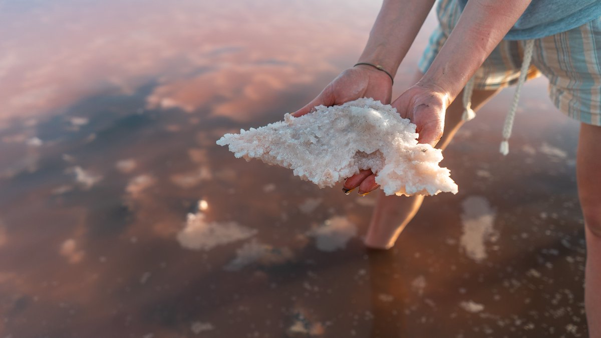
A 2017 chemical analysis reported 43.3 percent total dissolved solids in water from Gaet’ale Pond in Ethiopia’s Danakil Depression. That figure sits far above the roughly 3.5 percent salt content commonly used for the open ocean. It also points to a powerful rule of dry landscapes: when water arrives in a closed basin and evaporation carries away water vapor, dissolved minerals stay behind.
These places are called hypersaline water bodies because their dissolved salts exceed the ocean’s typical level. A 2017 chemical analysis by Eduardo Perez and Yonas Chebude reported 433 grams of total dissolved solids per kilogram of water at Gaet’ale Pond. The researchers described it as the most saline natural water body measured in their study.
Salinity figures need careful reading. Lakes can change with season, rainfall, inflow and water level. Scientists also report salt using several measures, including total dissolved solids and mass fraction. The five waters below all clear the ocean benchmark by a wide margin, yet their values should be treated as measured snapshots rather than permanent scores on a fixed global leaderboard.
1. Gaet’ale Pond, Ethiopia
Gaet’ale Pond is a small thermal pond in the Afar region, near the Dallol hydrothermal area. Its reported 43.3 percent total dissolved solids give it the largest published figure in this group. The 2017 analysis found that calcium chloride brine and magnesium chloride dominate its chemistry. Small amounts of other dissolved material were also detected.
Heat, geology and extreme dryness work together here. Water heated below ground can dissolve minerals before reaching the surface. Evaporation then concentrates that mineral load. A separate study in the Journal of Applied Volcanology documented Gaet’ale as a reactivated thermal spring and discussed hazards around the site, including gas emissions. Its unusual chemistry makes this a place for careful scientific fieldwork, not casual contact.
The study team used several lines of evidence, including density measurements and elemental analysis, to check the water’s composition. That matters because a label such as salt can hide important differences. Table salt is sodium chloride, while Gaet’ale’s dissolved material is strongly shaped by calcium and magnesium chlorides. The mineral mixture helps explain why comparisons among salt lakes need the method and the date beside the headline number.
2. Don Juan Pond, Antarctica
Don Juan Pond occupies a shallow depression in Antarctica’s McMurdo Dry Valleys. Its brine has often been reported at more than 40 percent salt by weight. That concentration can hold water in liquid form at temperatures that freeze ordinary freshwater, which makes the pond stand out in a landscape dominated by ice and bare rock.
Calcium chloride is central to that effect. Dissolved particles interfere with the orderly crystal structure ice needs to form, lowering the freezing point. The pond’s size and chemistry can shift with local conditions, so descriptions often use approximate values. Researchers study such brines as Earth examples for thinking about salty liquid water in cold environments, including possible briny settings on Mars.
Its setting also shows that intense saltiness does not require a hot desert. Antarctica supplies very little liquid water to the Dry Valleys and strong cold can preserve the landscape for long periods. Where concentrated brine persists, its chemistry becomes a natural experiment in freezing, evaporation and mineral behavior. The pond has therefore become a familiar comparison point in planetary science discussions, while remaining an unusual feature of Earth itself.
Scientists approach this kind of comparison with several measurements in mind. Salt mass, water temperature and the mix of dissolved ions all change how a brine behaves. A percentage printed beside a lake is useful for scale, but the chemical recipe carries its own story. Don Juan Pond and Gaet’ale Pond both contain chloride-rich brines, yet their locations, temperatures and geological pathways are very different. That is why extreme lakes can resemble one another in a list while offering distinct research questions.
3. Lake Retba, Senegal
Near Senegal’s Atlantic coast, Lake Retba, also called Lac Rose, can turn shades of pink under the right conditions. The color is associated with Dunaliella salina, a salt-tolerant microscopic alga that produces protective pigments. Strong sunlight and high salt concentrations can make those colors more visible, although the lake’s appearance changes through the year.
Salt harvesting has long shaped life around the lake. Workers gather salt from the shallow water and lakebed, while the lake itself responds to rainfall, evaporation and connections with nearby groundwater. Reports have placed the highest local salinity near 40 percent, though the value varies across the lake and over time. Those changes are exactly why a single measurement should never stand in for every season of a hypersaline lake.
The pink effect comes from biology meeting chemistry. Dunaliella can thrive where many other organisms struggle and its pigments help it cope with bright light and salty conditions. The lake’s water may look pale, deep rose, or much less colorful at different times. Photos can capture a real phenomenon, yet the shade alone cannot tell a viewer the exact salinity or the health of the lake’s wider ecosystem.
4. The Dead Sea, Jordan and Israel
The Dead Sea is the best-known example of buoyant salty water. Visitors float easily because the water is much denser than the human body. Its salinity is commonly reported near 34 percent, nearly ten times the open ocean average. The lake lies in the Jordan Rift Valley and its surface is among the lowest land elevations on Earth.
Like many closed-basin lakes, the Dead Sea loses water mainly through evaporation. Rivers and runoff bring in dissolved minerals, while the vapor that leaves contains none of them. Over long periods, that process built a concentrated mixture of dissolved salts. Sodium and magnesium are part of that chemistry. Calcium, potassium and bromide compounds contribute as well. The shoreline and water level have changed rapidly in recent decades, adding urgency to the work of scientists who track this singular basin.
The Dead Sea basin also shows how geology controls water. A deep rift valley collects inflow while the arid climate drives evaporation. The result is a lake with a chemical signature far removed from ocean water, even though both are saline. That geological setting gives the Dead Sea its extraordinary density and its long record as a focus of regional science and history.
Buoyancy follows directly from density. A body displaces water as it enters and denser water supplies a stronger upward force for the same volume. The effect turns a basic physics principle into an immediate human experience at the Dead Sea. The water is harsh on eyes and cuts, so visitors should follow local safety guidance around the lake.
5. Great Salt Lake, United States
Utah’s Great Salt Lake shows why salinity must be connected to place and time. It is a terminal lake, so its water has no route to the ocean. Evaporation concentrates the salts delivered by rivers. The railroad causeway divides the lake into north and south arms and the north arm has at times reached salinity above 30 percent.
That brine supports a food web built around brine shrimp and brine flies. Migratory birds depend on those abundant animals during their journeys, which makes the lake far more than a dramatic salt flat. The U.S. Geological Survey monitors the lake because changing water levels affect habitat, air quality, recreation and mineral production. Its rise and fall offer a living lesson in how water balance controls salinity.
The causeway provides an especially visible example of separation changing water chemistry. Restricted exchange between the arms allows one side to become saltier than the other. Microbes and algae can also respond to those conditions, changing the water’s color and food supply. Great Salt Lake belongs on this list because its extreme salinity is tied to a large working ecosystem, one that can shift as river inflow and evaporation change.





