
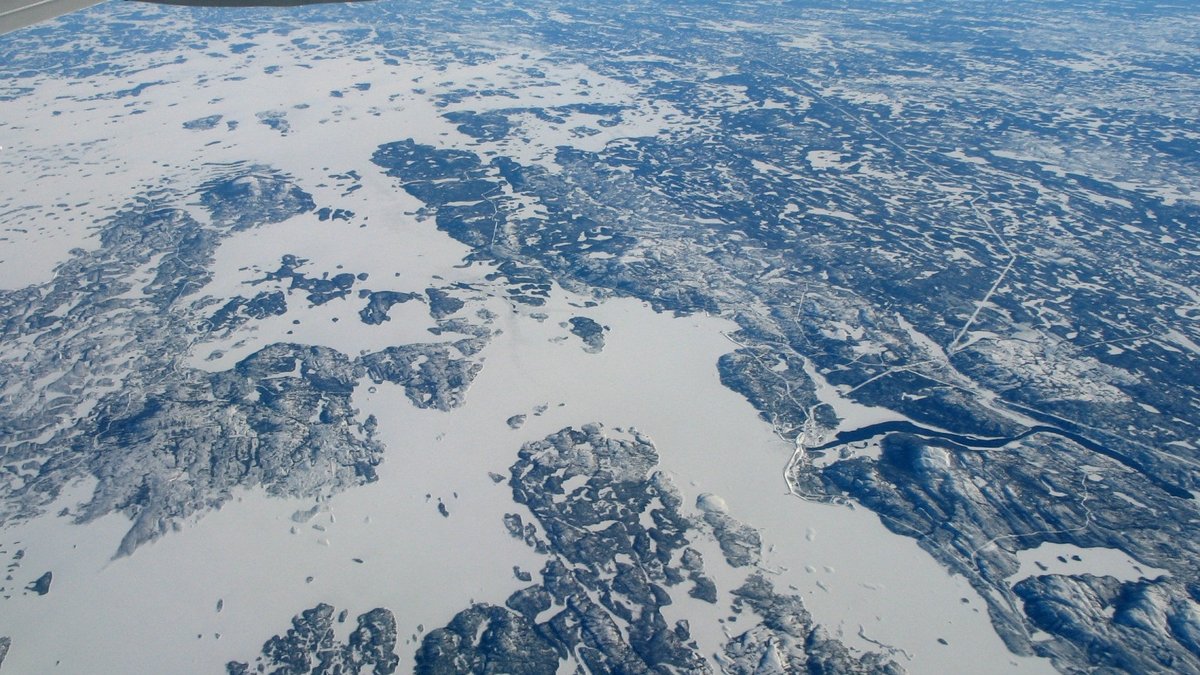
From orbit, several of Canada’s biggest reservoirs can look like natural inland seas. Their long shorelines and branching bays hide a more recent story. Dams, dikes and diversions raised water across river valleys and lowlands to create storage for hydroelectric systems that serve communities far beyond the north. Engineers selected basins where large flows could be collected and released through turbines. Many structures work together, with dams holding rivers, dikes closing low ground and channels moving water between basins. This arrangement allows water to be stored during high-flow periods and released later. It also changes shorelines, travel routes and the relationship between rivers that once flowed separately.
The scale is especially striking in Quebec. Hydro-Québec’s reservoir data lists Caniapiscau at 4,359 square kilometres, Robert-Bourassa at 2,905 square kilometres, La Grande 3 at 2,451 square kilometres and Manicouagan at 1,788 square kilometres. Measured by surface area, the ten reservoirs below reveal how power projects reshaped Canadian waterways. Surface area makes the comparison visible, though it does not tell the complete energy story. Storage volume, the vertical drop to turbines and the timing of water releases also influence how a hydroelectric system performs.
1. Smallwood Reservoir, Newfoundland and Labrador
Smallwood Reservoir spreads across western Labrador and is generally listed at about 6,527 square kilometres. It stores water for the Churchill Falls system on the Churchill River. Its form comes from an unusual arrangement of many dikes that closed low gaps in the plateau, joining flooded basins and waterways into one vast storage area.
That stored water supports the Churchill Falls Generating Station, which the town says has eleven turbines and 5,428 megawatts of generating capacity. Reservoir size alone does not describe a project’s reach. The system connects remote Labrador water with electricity users across northeastern North America.
2. Caniapiscau Reservoir, Quebec
At 4,359 square kilometres, Caniapiscau Reservoir is the largest reservoir in Hydro-Québec’s published table of major reservoirs. The company places it in the La Grande hydroelectric complex, where stored water provides a large reserve for generating electricity. Its listed total volume is 52.6 billion cubic metres.
In this part of northern Quebec, water management works on a watershed scale. Reservoirs hold seasonal runoff, then operators release water through generating stations when it is needed. That design makes the lake part of a wider network of dams, channels, transmission lines and operating rules across the James Bay region.
3. Robert-Bourassa Reservoir, Quebec
Robert-Bourassa Reservoir has a published surface area of 2,905 square kilometres. Hydro-Québec identifies it as another La Grande reservoir, with 61.7 billion cubic metres of total volume. Its broad basin was formed through large-scale water control works in the Canadian Shield landscape.
Water stored here can be directed through the Robert-Bourassa generating facilities as part of the regional system. The reservoir’s size is a reminder that a hydroelectric station relies on more than a dam wall. Storage capacity, elevation change, seasonal flows and transmission infrastructure all help turn moving water into dependable power.
4. La Grande 3 Reservoir, Quebec
Hydro-Québec gives La Grande 3 Reservoir a surface area of 2,451 square kilometres and a total volume of 60.0 billion cubic metres. It is among the company’s five largest reservoirs, alongside Caniapiscau, Robert-Bourassa, Manicouagan and Aux Outardes 4.
Its role is water storage for the La Grande system. As with nearby reservoirs, changing water levels are part of planned operations rather than a simple seasonal lake cycle. This setting also shows why surface-area rankings need care. A reservoir’s footprint is only one measure, while volume and the height of its stored water shape its energy potential.
5. Manicouagan Reservoir, Quebec
Manicouagan Reservoir covers 1,788 square kilometres, according to Hydro-Québec. Its ring-shaped outline makes it one of the most recognizable water bodies in Canada. The reservoir surrounds René-Levasseur Island and the shape follows an ancient impact structure that existed long before modern water control works.
Hydro-Québec says a meteorite impact about 214 million years ago created the circular formation now occupied by the reservoir. Later flooding behind the Daniel-Johnson Dam gave the feature its current water level and energy role. Geology and engineering meet here in a landscape that is visible in satellite imagery.
6. Williston Reservoir, British Columbia
British Columbia’s Williston Reservoir is about 1,761 square kilometres by surface area. It lies behind the W. A. C. Bennett Dam in the Peace River system. Its three main reaches, the Peace, Parsnip and Finlay arms, extend through a mountain and plateau landscape in the province’s northeast.
BC Hydro calls Williston Reservoir the primary storage reservoir for the Peace system. Water passing through its generating station continues toward the Peace Canyon and Site C projects. The agency also identifies Tsay Keh Dene, Kwadacha and Treaty 8 First Nations as traditional territory holders in the reservoir area.
7. Lac Seul, Ontario
Lac Seul in northwestern Ontario is commonly measured at roughly 1,657 square kilometres. Its irregular shoreline has many bays, islands, channels and shallow points. Water levels are regulated, which places this large lake within a working water-management system as well as a popular fishing landscape.
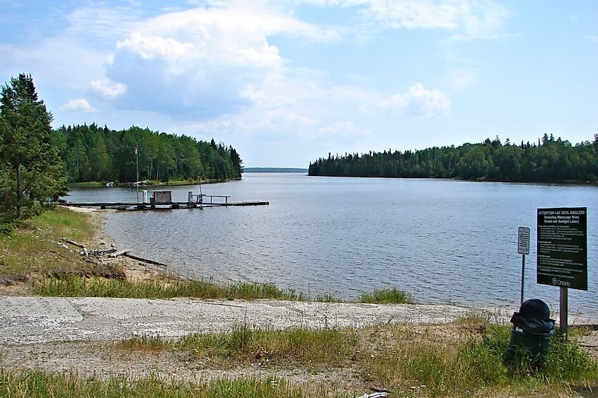
Ontario’s fishing regulations specifically cover Lac Seul and connected waters, including parts of the Root and Wenasaga rivers. The provincial rules list limits for walleye, sauger, northern pike and other species. Those rules reflect the lake’s continuing importance for recreation and local fisheries.
8. Gouin Reservoir, Quebec
At about 1,570 square kilometres, Gouin Reservoir is a sprawling headwater reservoir in Quebec’s Mauricie region. Its islands, peninsulas and narrow channels give it a maze-like map. The reservoir regulates water in the upper Saint-Maurice watershed for downstream hydroelectric production and water management. A headwater reservoir can smooth the flow reaching facilities much farther along the river, linking a remote shoreline to decisions made across an entire watershed.
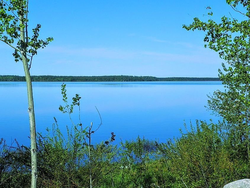
Its history is tied to Atikamekw territory and to the changes brought by flooding and later control works. That history matters alongside the engineering record. Large reservoirs transform routes, shorelines, fisheries and places used by communities, even when their widest views appear wild and empty.
9. Opinaca Reservoir, Quebec
Opinaca Reservoir has a reported surface area of about 1,040 square kilometres. It belongs to the network of managed waters in northern Quebec associated with the La Grande development. Hydro-Québec environmental material identifies Opinaca among the Phase I reservoirs of that complex.
Its function is primarily storage and flow regulation. Water can be managed across connected rivers and reservoirs before it reaches generating stations. This kind of coordinated system helps explain why northern hydroelectric geography cannot be read as a collection of separate lakes. Each basin can affect operations farther downstream.
10. Laforge-1 Reservoir, Quebec
Laforge-1 Reservoir rounds out this surface-area list at roughly 978 square kilometres. It is part of the La Grande network and sits in a remote landscape of forest, wetlands, exposed rock and branching waterways. The reservoir was created to supply the Laforge-1 generating station.
Hydro-Québec has documented Laforge-1 as a Phase II reservoir in the broader project area. Its environmental work also notes that reservoir creation can affect fish mercury levels after flooding, which is why monitoring and fish-consumption guidance have been used in the region. BC Hydro has likewise described enduring impacts of large northern reservoir development on Indigenous communities. These lakes hold power infrastructure, ecological change and human history in the same waterscape. Their maps record engineering ambition, while their shorelines preserve the continuing consequences of altering northern waters.





